WORLD SNOW ROUNDUP #284
Issued: 29th March 2023
By Patrick “Snowhunter” Thorne
World Overview
Snowfall returned to the Alps just in time for the weekend. Beginning to fall in France on higher slopes, but unfortunately as rain on lower ones, the storm moved east through the weekend and start of this week. The storm brought lower temperatures with it so that eventually most of western Europe’s slopes were seeing snow to quite low levels, although always the most in the north and west.
Outside the Alps, the snowfall did not occur as far south as the Pyrenees and here ski areas continue to battle warm spring temperatures accelerating the meltdown of the snowpack. More low-lying areas have closed earlier than they’d hoped, and higher areas have less terrain available than usual but soldier on. It’s similar, but worse, in the Scottish Highlands. Ski areas in Eastern Europe have not had as much snowfall as the Alps but have not been as warm as the Pyrenees so are still open, but with around half of their terrain available. Up in Scandinavia, things are looking good still with more snowfall, cool temperatures and most areas 100% open still.
Over in North America, the snow keeps falling in the west, with more records broken for seasonal snowfall totals in Colorado, Utah and California and more resorts saying they plan to stay open to July. More mixed conditions on the east coast though with warm weather bringing rain to lower elevations at times.
In the wider world, more snowfall has been reported in New Zealand, with Cardrona ski area posting snowy pictures nearly three months before the 2023 ski season there is due to begin.
Europe
EUROPE INTRO
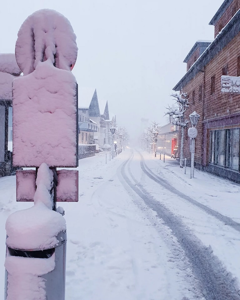
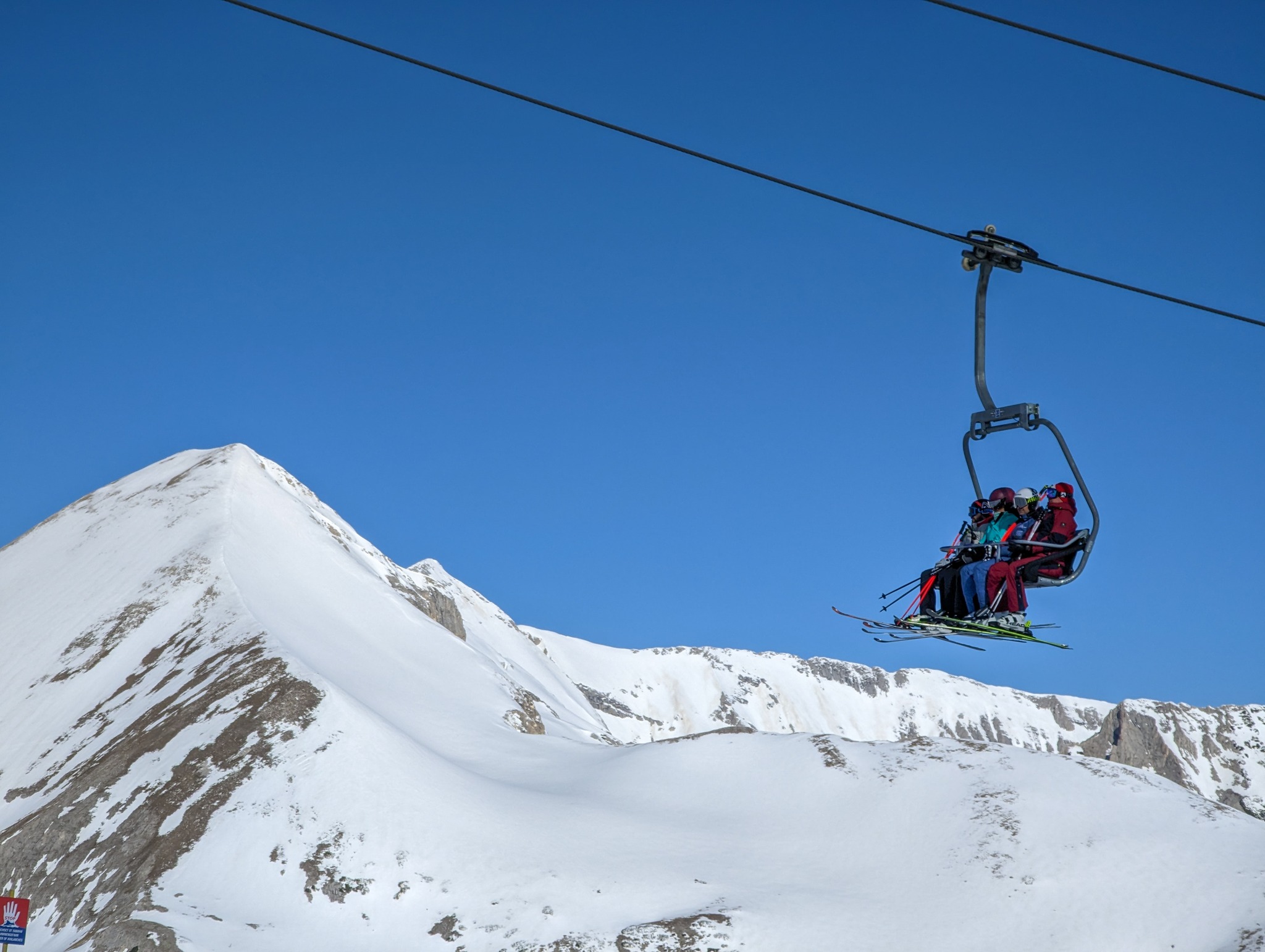
Snowfall returned to the Alps at the weekend with some decent falls reported above 2000m altitude, particularly in the western Alps (France, western Italy and Switzerland) and above 3000m, although the snowline was generally above 2000m and got lower at times, it also did move further east across Austria. Elsewhere it continues to be challenging in the Pyrenees as resorts continue to battle spring conditions with plenty of sunshine and continuing warm temperatures making it pleasant in the mountains but not great for snow preservation. It’s a battle Scottish centres have already largely lost. Scandinavian areas have the advantage there with still cold weather reported along with more fresh snowfall to end March.
AUSTRIA REPORT
It has been a week of two halves for Austrian ski areas with some big-name but low-lying ski areas forced to end their seasons earlier than hoped after weeks of mild temperatures were followed by rain. But then the country’s centres with higher slopes famed for their spring skiing saw temperatures drop and fresh snow falling to start this week. In the first category St Johann in Tirol (20/40cm / 8/16″ on closing day) was a big-name casualty, forced to close a fortnight earlier than expected. It announced the move suddenly on Saturday before closing on Sunday. With its highest lifts at just 1600m, it was always a prime candidate for warm weather impact. At the other extreme centres with slopes above or close to 3,000m have seen more fresh snow and are looking good for skiing until late April or May. They include Sölden (77/243cm / 31/97”), the Kaunertal Glacier (140/220cm / 56/88”) and St. Anton (55/205cm / 22/82”).
AUSTRIA FORECAST
The week has seen a mixture of rain and snow so far and that looks set to continue. Higher slopes should see snowy conditions (and rain lower down), with temperatures cooler than they’ve been. But down in valleys it should still get into high single figures in the daytime.
SWITZERLAND REPORT
A snowy week for Swiss ski centres as well, particularly in the west, with several areas seeing their upper slope base depths hit the deepest they’ve been all season as we near April. Saas Fee (53/310cm / 21/124”) has the deepest snowpack in the country. But a number of other resorts are looking good for spring skiing, at least on their higher slopes, including Crans Montana (80/200cm / 32/80”), which still has about 80% of its slopes open and Laax (0/210cm / 0/84”), which is closer to 60% open there. All three resorts have high glacier terrain. The 4 Valleys around Verbier (30/130cm / 12/52”) saw the Freeride World Tour finals postponed at the weekend due to the conditions but regular skiers still have 320km (200 miles) of higher slopes open, the most in the country.
SWITZERLAND FORECAST
After a few warmer, drier, sunnier days midweek it looks like we’re heading for another temperature dip and more snowfall to end the week (and March) continuing into the weekend.
FRANCE REPORT
French ski areas are enjoying some of the best conditions of the season, at least on higher slopes. The new front that moved in from the northwest at the start of the weekend has brought increasing amounts of cold and snowy weather to ever-lower altitudes. Unfortunately, it is too little and too late for low-lying slopes below about 1800-2000m, but higher up its very wintery at present. So Tignes (140/400cm / 56/160″) was the first in Europe to reach the 4m base depth mark up high and a number of other big French destinations including the grand Massif and Paradiski have reached 3 metres. But against that the giant Portes du Soleil region, which has more low-lying terrain reports it is down to about 50% of its slopes still open.
FRANCE FORECAST
It should stay quite wintery as we move into April, in France. The freezing point, although fluctuating, is forecast to frequently be down to the valley floor. More heavy snowfall is expected, heaviest at altitude, in the latter half of the week.
ITALY REPORT
A lot of variety in reported snowfall across Italy. But most of the country’s ski slopes have at least had some. The heaviest was over Sunday/Monday in the northwest which saw up to 50cm (20”) of snowfall on higher slopes around the Aosta Valley. La Thuile (55/260cm / 22/104”) is currently posting the deepest base in the country and reports its slopes linked to La Rosiere, in France, are still 90% open. However, the storm has brought rain at times to lower Italian slopes, exacerbating the problem of thaw through March. Most saw the rain turn to snow even at low levels, right across to the Dolomites by Monday though. Sella Nevea (15/220cxm / 6/88”) in the far east over by the Slovenian border, usually open to May, has Italy’s second deepest base after la Thuile.
ITALY FORECAST
There are a few days of dry, sunny weather for most Italian resorts midweek before the second wave of snowfall, again heaviest in the north and west. This is forecast to move across over the latter half of this week.
GERMANY REPORT
The number of ski areas open in Germany has really dropped dramatically now with only about 5% likely to see the start of April with their ski lifts still running. Of course, those that are the bigger, higher resorts are led by Reit im Winkl (0/80cm / 0/32”), which still reports 90% of its slopes open. Ironically, this week is seeing some of the coldest wintriest weather for several months with snowfall down to the valley floor at low levels. But it’s too little, too late after a winter with few snow showers and too warm temperatures. The Zugspitze Glacier (150/150cm / 60/60″) plans to stay open until May 1st.
GERMANY FORECAST
The current cold weather will ease rapidly in the latter half of the week with temperatures rising quickly into the weekend and a return of drier, sunnier conditions.
SCANDINAVIA FORECAST
Still staying largely below freezing, in fact getting as low as the -20s at times in Lapland. Generally dry but with some light snow showers, heavier to end the week in the north.
SCOTLAND REPORT
Temperatures did drop again in the Highlands at the weekend and at the start of this week with some snow showers reported, but it’s too little and late really to make a lot of difference. Cairngorm still has half a dozen or so runs open, mostly challenging terrain conditions on the upper mountain suiting experienced skiers with the nursery slopes at the base too. Glenshee has nursery slopes as well and Glencoe has been offering beginner lessons on their sledging slope, all maintained by all-weather snowmaking machines. The Lecht has turned theirs off to save power but plans to use it again in the Easter holidays to make snow for a nursery slope.
SCOTLAND FORECAST
The forecast is forever changing but at the time of writing doesn’t look promising for any hope of a return to full winter for the Easter holidays period, unfortunately. It’s predominantly warm and wet, with just a chance of snowfall on the highest peaks.
SPAIN / ANDORRA REPORT
It has been another predominantly sunny week in the Pyrenees. Temperatures have been climbing into double digits again in valleys and getting well above freezing on higher slopes in the daytime too. The result is inevitably an intensifying spring thaw, although overnight lows have still been getting to freezing even at lower elevations, so the snowpack is setting hard overnight. Les Angles, in France, was among the latest increasingly big ski areas in the region to end its season early, on Sunday. Grandvalira (20/60cm / 8/24”), the region’s largest area, has still managed to keep about 2/3 of its terrain open, pushing snow down the mountain to complete lower runs.
SPAIN / ANDORRA FORECAST
Staying warm and sunny for the week ahead which is not good news for the fast-diminishing remaining snowpack. Early signs of cooler weather next week but if that proves correct it will be too late for many smaller, lower centres.
BULGARIA / ROMANIA REPORT
It’s been a mostly sunny week in the Balkans with temperatures varying a good deal. There have been daytime highs well into double figures in valleys but then the past few days have seen the mercury plummet and some fresh snowflakes recorded. Most resorts have around 50-60% of their higher terrain still open with Bulgaria’s Borovets (100/85cm / 40/34”) posting the deepest base and Bansko (0/70cm / 0/28”) the most terrain open in the region, about 50km (30 miles) of slopes still.
BULGARIA / ROMANIA FORECAST
Temperatures are expected to be cooler for the latter half of this week, which should slow the thaw a little with overnight lows getting back below freezing, but daytime highs will soon be back into double figures at lower elevations by the end of the week.
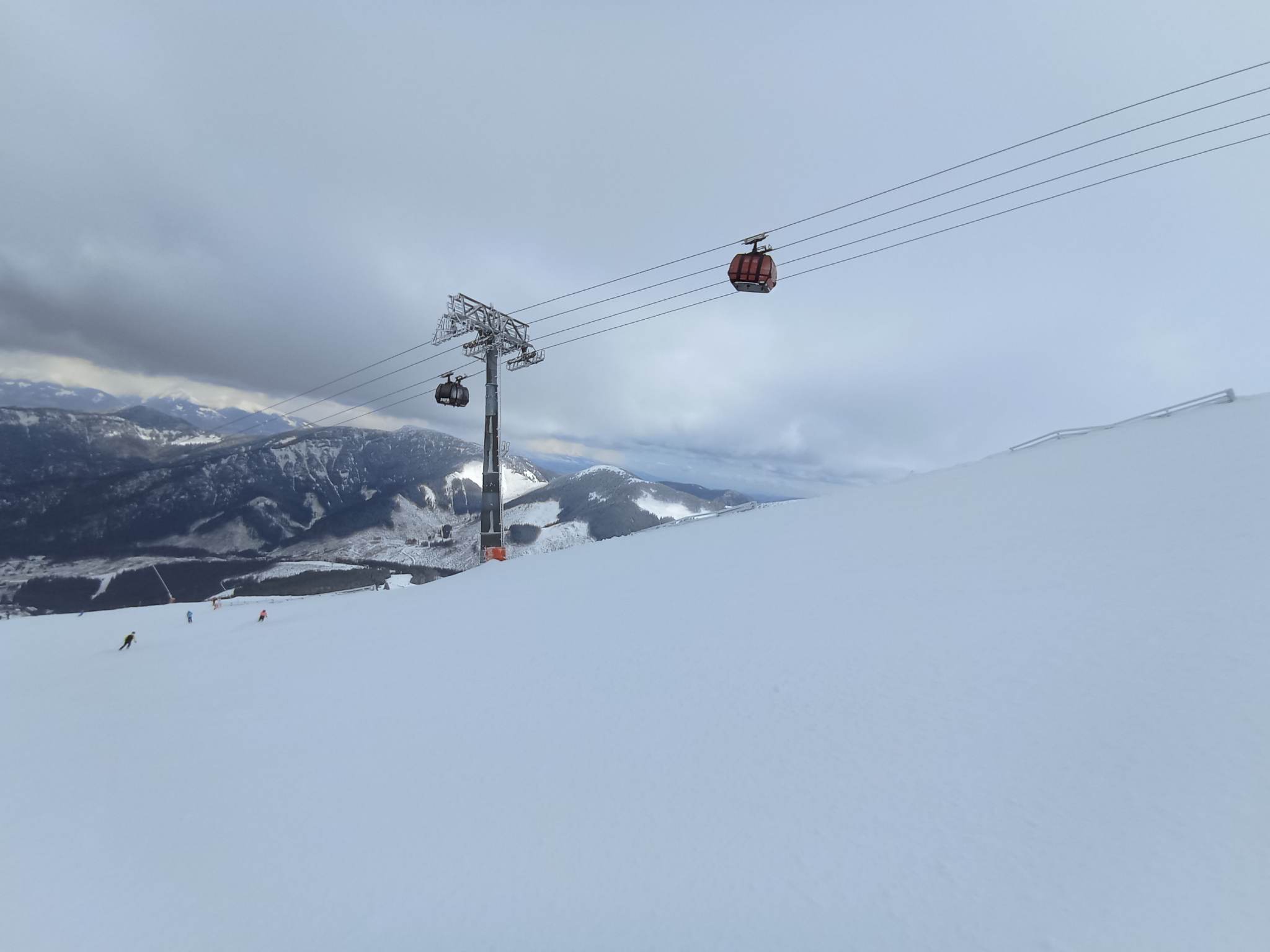
CZECH REPUBLIC / SLOVAKIA REPORT
It’s been a pretty good week, comparatively, for the larger ski areas in the Tatra and Giant mountains of northeastern Europe. True, most of the smaller centres in the Czech and Slovak republics have ended their seasons and the larger centres have the same springtime issues with the thawing of lower slopes, but it has been cooler than further south and there’s been some fresh snow on higher slopes. Špindlerův Mlýn (25/80cm / 10/32”) in the Czech republic still has about 60% of its terrain open, whereas Slovakia’s Jasná (20/180cm / 8/72”) reports its slopes still 100% open.
CZECH REPUBLIC / SLOVAKIA FORECAST
Cooler conditions after a sunny spell midweek. More snowfall is expected through the weekend, although this will be rain on lower slopes.
NORTH AMERICA INTRO
It’s almost April and we’re nearing the end of what seems like four straight months of almost non-stop snowstorms hitting the western side of the US from the Pacific. They are expected to ease a little, but the last seven days have seen more intense storms than forecast and more snowfall records broken. The avalanche danger resulting from another 20″ fall in 12 hours led to people being advised to stay indoors for a time in parts of Utah. We’ve also had more ski areas on the west coast and in Colorado announce long season extensions, some into July and others “for as long as possible.”
As has been the case all season, it’s a less exciting scenario over on the east coast. There has been more snowfall, particularly at more northerly centres with higher slopes. But more southerly and low-lying resorts have had rain again, limiting open terrain and leading to more early closures.
ROCKIES REPORT
It’s hard to imagine still more snowfall for Utah this late in the season but ski areas in Little Cottonwood Canyon, Alta (104/200” / 160/500cm) and Snowbird (42/164” / 155/409cm) declared an ‘Interlodge’ state of avalanche emergency at the end of last week requiring skiers off the slopes and everyone out of cars and into buildings as an avalanche blocked the road out. 21″ (53cm) of snowfall was reported within 12 hours, peaking at five inches (13cm) per hour. In the end, the road was cleared and people were allowed to leave around 7 pm. So most ski areas in the Rockies have picked up several feet more snowfall in the last seven days, breaking more records. Winter Park (24/81” / 60/203cm) is the latest to say it will be staying open late into spring. Its Mary Jane slopes are often kept open into May but this year it may be later as they’re just going for, “staying open as long as possible.”
ROCKIES FORECAST
We should remain in a few days of clearer weather, with plenty of sunshine and even thawing at lower elevations. Light snow showers will return as we move into the start of April at the weekend, however.
USA WEST REPORT
There’s been more snowfall on the west coast but not the road-closing, lift-burying quantities the region has gotten used to over the last few months. That said, Mammoth Mountain (268/328″ / 670/820cm) has reached its deepest of the season yet, passing through 320 inches/8 metres for the first time this winter. Indeed, it’s the first time any resort in the world has posted quite such a deep base in the past few winters. The Palisades (94/236″ / 234/590cm) is the latest to announce a big extension of their planned ski season. Already long marketed as the “spring skiing capital of North America” they now plan to stay open at least to the US Independence day on July 4th, they say.

USA WEST FORECAST
Snow is falling again as we publish this week’s report but it is not expected to be more than light snow showers over the next few days with sunny spells too. Temperatures at lower elevations should be getting a little above freezing so there may be some thawing of the massive snowpacks.
MIDWEST REPORT
It’s continuing to feel a lot like springtime in the Midwest, even if the weather still feels wintery at times and snow showers keep falling. But most areas are now ending their seasons and there were plenty of pond skimming events last weekend for closing days, with more promised for next weekend too. About half have closed so far but a dozen or so plan to keep the lifts turning up to Easter. The deepest snowpack is reported in Michigan with Mount Bohemia (50/50″ / 125/125cm) still reporting all 100+ of its slopes open.
MIDWEST FORECAST
Temperatures should remain below freezing on most northerly Midwestern ski slopes, but there’s not much snow in the forecast and there are some warm weather spikes expected. So the springtime feel will continue.
USA EAST REPORT
It was a snowy weekend in the eastern US, at least in more northerly parts and on higher slopes, with ski areas further south continuing the early closure routine after seeing more rain instead of snow. The largest ski area in the region, Killington (14/25” / 35/66cm) continues to battle with a limited base yet manages to have 95% of its terrain open into April. Whiteface (26/47” / 91/122cm), at Lake Placid in New York state, reports superb powder conditions at the weekend with 8” (20cm) of fresh snowfall.
USA EAST FORECAST
Continuing unsettled with multiple fronts moving through and temperatures ranging from the mid-20s to low 40s Fahrenheit. Precipitation will continue to be a mix of rain or snow depending on latitude, altitude and time of day when it falls.
CANADA WEST REPORT
Ski areas across western Canada have been posting fresh snowfall and reporting some great powder conditions to end March. Marmot Basin (120/120cm / 48/48″) up near Jasper, where the season still has over a month to run, even unveiled some all-new terrain, the Cirque, for the final five weeks of the season. Against this, some Canadian centres will begin closing for the season this weekend and a good many more the weekend after, despite all the snow lying and temperatures still close to freezing. The continent’s largest centre, Whistler Blackcomb (20/235cm / 8/94″) reports it is still fully open, but temperatures down at its base are getting to high single stats above freezing, so definitely a springtime feel. Colder still though at higher elevations inland.
CANADA WEST FORECAST
There are more snow showers forecast as we move into the final few days of March. Temperatures close to or below freezing inland but getting up to +5 to +9C at Pacific Coast resorts on lower slopes in the afternoons.
CANADA EAST REPORT
It has been quite a snowy start to springtime in eastern Canada, with temperatures hovering around the freezing point. Massif du Sud reports it’s 100% open still and received more than 30cm (12″) of snowfall this week. However, there have been periods of rain on lower slopes leaving conditions challenging at times so the advice is definitely to aim high. Tremblant (50/140cm / 20/56″), in Quebec (the region’s largest area), is back down to about 70% of its terrain open, having been at 100% the past two months.
CANADA EAST FORECAST
The fairly cold and cloudy end to March and the start of April should continue with temperatures close to freezing, just moving a few degrees on either side. The weather should be predominantly clear, but with snow showers and a chance it’ll be raining on lower slopes.
Asia
JAPAN REPORT
Snow depths are dropping quite rapidly in Japan now as the thaw continues to set in. A number of areas were also closed for several days in the latter part of last week as a storm system brought rain to the slopes. Temperatures have tended to be above freezing most of the past week and the thawing has led to fog in places at times and there have also been some windy conditions, closing higher lifts. A number of the country’s smaller centres will be closing this weekend or next. But against that many of the bigger resorts will carry on through to early May. Among them, Niseko (70/300cm / 28/120″) has had the full mix of conditions and is warning that the combo has left the avalanche danger high.
JAPAN FORECAST
The springlike weather is expected to continue with the resulting ongoing thaw and diminishing snowpack as temperatures typically remain up to 7 degrees above freezing.


