


View forecast
Mount Lyford at 1750 m altitude
Issued by Snow-Forecast.com at: 11 pm (local time) / 13 Jun 2024
Now
Friday 14 | Saturday 15 | Sunday 16 | Monday 17 | Tuesday 18 | Wednesday 19 | ||||||||||||||
night | AM | PM | night | AM | PM | night | AM | PM | night | AM | PM | night | AM | PM | night | AM | PM | night | |
light rain | light rain | mod. rain | mod. snow | snow shwrs | clear | some clouds | some clouds | some clouds | some clouds | cloudy | some clouds | clear | snow shwrs | snow shwrs | clear | some clouds | cloudy | cloudy | |
km/h | |||||||||||||||||||
Snow map | 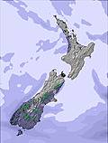 | 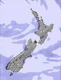 | 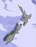 |  |  |  |  | ||||||||||||
— | — | — | 8 | — | — | — | — | — | — | — | — | — | — | — | — | — | — | — | |
5 | 3 | 8 | — | — | — | — | — | — | — | — | — | — | — | — | — | — | — | — | |
max°C | 4 | 3 | 2 | 2 | 1 | 0 | -1 | 0 | 1 | 3 | 3 | 2 | 2 | 1 | 2 | 2 | 2 | 3 | 3 |
min°C | 3 | 3 | 2 | 0 | 0 | -1 | -2 | 0 | 0 | 2 | 2 | 2 | 1 | 1 | 0 | 2 | 2 | 3 | 3 |
-2 | -2 | -2 | -4 | -5 | -7 | -8 | -8 | -8 | -6 | 0 | -1 | -3 | -4 | -5 | -4 | -3 | -1 | 0 | |
88 | 90 | 99 | 100 | 79 | 53 | 66 | 71 | 71 | 48 | 59 | 73 | 64 | 83 | 98 | 59 | 70 | 66 | 51 | |
2400 | 2450 | 2250 | 2150 | 1850 | 1700 | 1500 | 1700 | 1850 | 2200 | 2100 | 2000 | 2050 | 2000 | 1850 | 2200 | 2150 | 2150 | 2200 | |
— | 7:54 | — | — | 7:54 | — | — | 7:54 | — | — | 7:56 | — | — | 7:56 | — | — | 7:56 | — | — | |
— | — | 5:00 | — | — | 5:00 | — | — | 5:00 | — | — | 5:00 | — | — | 5:00 | — | — | 5:00 | — | |
Next 0-3 days weather summary:
Mild with moderate rain (total 16.0mm) on Fri afternoon, Becoming colder with a light covering of snow, mostly falling on Fri night. Freeze-thaw conditions (max 4°C on Thu night, min -2°C on Sat night). Winds increasing (light winds from the NE on Fri night, strong winds from the NNW by Sun afternoon).
Next 4-6 days weather summary:
Mostly dry. Freeze-thaw conditions (max 3°C on Sun night, min 0°C on Tue afternoon). Mainly near gales.
Popular Mount Lyford Pages
Snow Radar
Latest snow reports near Mount Lyford:
Mount Lyford Snow Conditions
| Top snow depth: | 0 cm |
|---|---|
| Bottom snow depth: | 0 cm |
| Fresh snowfall depth: | — |
| Last snowfall: | 29 May 2024 |
| Snow Alerts | Create Alert |
Other resorts in New Zealand are reporting: powder (0) / good piste (0)
Snow-Forecast Partner Offers
Show your business here
Snow History
Week 2 of June has on average:
0.4 | Bluebird Powder days Fresh snow, mostly sunny, light wind. |
|---|---|
0.5 | Powder days Fresh snow, limited sun, any wind. |
0.4 | Bluebird days Average snow, mostly sunny, light wind. |

Mount Lyford Forecast Snowfall

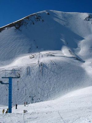
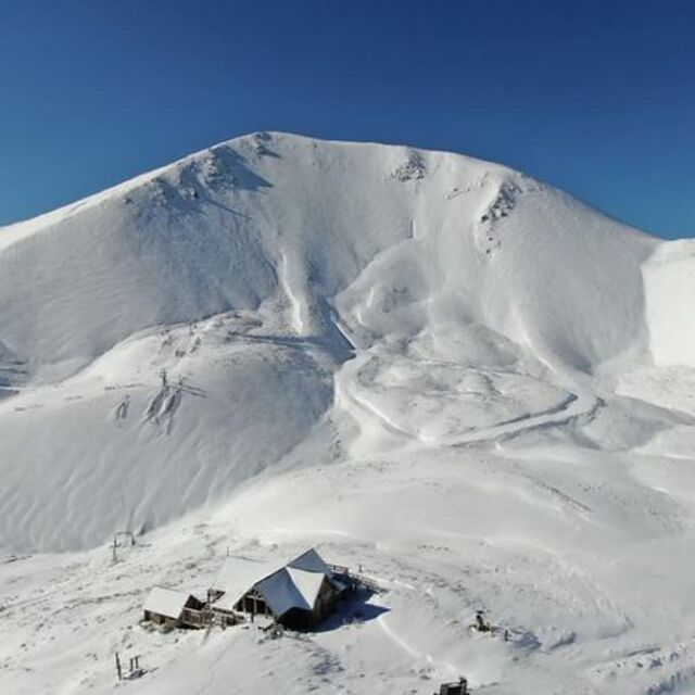
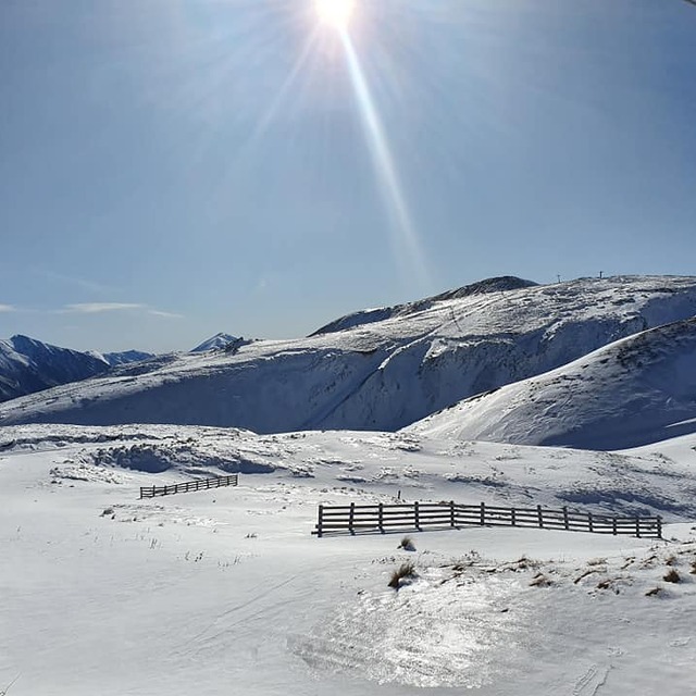
Photos of Mount Lyford
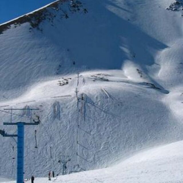
Mt Lyford near KaiKoura by telestrom
great start by Nick Russill
20cm of fresh snow by Snow Forecast Admin
Other resorts in New Zealand are reporting: powder (0) / good piste (0)
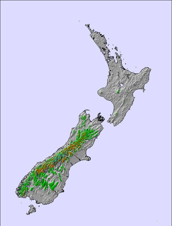
The above table gives the weather forecast for Mount Lyford at the specific elevation of 1750 m. Our sophisticated weather models allow us to provide snow forecasts for the top, middle and bottom ski stations of Mount Lyford. To access the weather forecasts for the other elevations, use the tab navigation above the table. For a wider view of the weather, check out the Weather Map of New Zealand.
Click here to read further information on freezing levels and how we forecast our temperatures.
Visitor Reviews of Mount Lyford
Overall 3.4 Based on 1 vote and 4 reviews
- Snowsure
- Variety of pistes
- Vote
- jamie heemskerk from New Zealand writes:
For those of us whom relish club atmosphere fields - Mount Lyford is one of the best that New Zealand has to offer. The snow gods were with us on our visit of 2008 with base of 400cm and 200cm of that being powder, only a dozen local 4wds and a blue bird day. Being a young student and not owning a flash ride, the ski field owner even towed us to the carpark as Billy the Civic could not handle the ride up - gotta love Kiwis. As our last ride on our return drive home to Nelson from the crowds at nearby Mt Hutt, I had the best day in over 15 years riding with the Mount Lyford experience: great team, great snow and no showponys - just a hill covered with lovely white stuff and fantastic people enjoying it together; Bliss. Only gripe was no halfpipe, maybe it was buried that day aye? =)
Visitor Reviews of Mount Lyford
jamie heemskerk from New Zealand writes:
For those of us whom relish club atmosphere fields - Mount Lyford is one of the best that New Zealand has to offer. The snow gods were with us on our visit of 2008 with base of 400cm and 200cm of that being powder, only a dozen local 4wds and a blue bird day. Being a young student and not owning a flash ride, the ski field owner even towed us to the carpark as Billy the Civic could not handle the ride up - gotta love Kiwis.
As our last ride on our return drive home to Nelson from the crowds at nearby Mt Hutt, I had the best day in over 15 years riding with the Mount Lyford experience: great team, great snow and no showponys - just a hill covered with lovely white stuff and fantastic people enjoying it together; Bliss. Only gripe was no halfpipe, maybe it was buried that day aye? =)
Free Snow-Forecast.com weather widget for your website
The Mount Lyford skiing weather widget is available to embed on external websites free of charge. It provides a daily summary of our Mount Lyford snow forecast and current weather conditions. Simply go to the feed configuration page and follow the 3 simple steps to grab the custom html code snippet and paste it into your own site. You can choose the snow forecast elevation (summit, mid-mountain or bottom lift) and metric/imperial units for the snow forecast feed to suit your own website…. Click here to get the code.
View detailed snow forecast for Mount Lyford at:
snow-forecast.com

 Nearest