USA & Canada Roundup #231
(Updated 6 March 2024) A comprehensive review of snow conditions, weather, and updates for the United States and Canada's winter sports destinations.
NORTH AMERICA INTRODUCTION
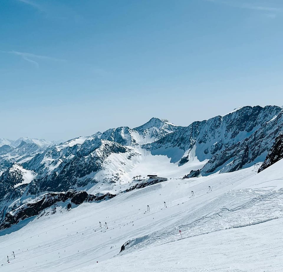
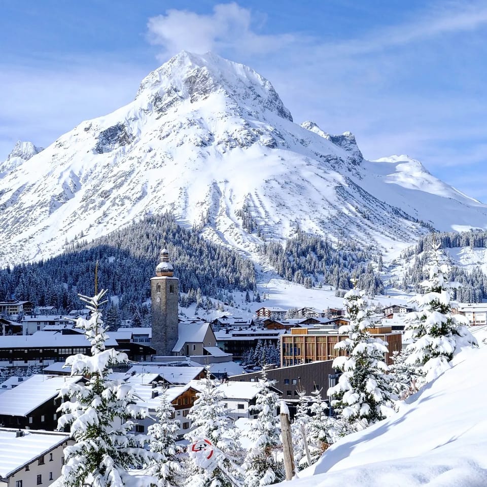
Conditions across North America are arguably the best they've been all season this week, even though some centres in the US Midwest and in BC decided to end their 23-24 seasons already due to months of challenging conditions. But although conditions aren't perfect everywhere, what's been different this week has been some good snowfalls at last in the Pacific Northwest corner of the country, boosting bases considerably and bringing powder conditions to ski areas in BC, Canada and Washington State, USA. It's not been so good a week in the east though, mostly dry with some very warm temperatures reported for early March. The big snow event of the week, though, was in California, where a huge, four-day-long snowstorm moving in from the Pacific brought huge snowfall accumulations of up to 126" (3.2m) driven in by exceptionally strong winds of up to 180 mph (290km/h), which led a good number of ski resorts in the region to close for several days until things calmed down.
ROCKIES REPORT
There's been plenty more snowfall in the Rockies and nearby mountain ranges, but unfortunately, other weather issues, including strong winds, have impacted operations at times. Taos (24/61" / 60/152cm) in New Mexico was among several closed for a period last week due to gale force winds; Utah's Powder Mountain was another. As the snow keeps falling, Snowbird (48/119" / 120/297cm) has announced that February was its third snowiest recorded, making up for a sub-par start to the season. Nearby Alta (64/151" / 160/378cm) continues to post North America's deepest snowpack and fellow Utah area Park City (78/98" / 196/246cm) has the most terrain open in the country.
ROCKIES FORECAST
There's no real sign of spring getting much of a grip at present. Temperatures are generally staying close to freezing even at low levels and will be down to single figures overnight up high. An inch or two of snowfall forecast: Most days should keep refreshing cover; otherwise, it should be mostly sunny.
USA WEST REPORT
A severe weather advisory was posted by the US Weather Service for much of the West Coast last week, with up to 12 feet (over 3.5 metres) of snowfall forecast for higher slopes along with 100mph winds. They were pretty spot on. Sugar Bowl posted the most snowfall at nearly 11 feet (3.2m) by Wednesday, whilst The Palisades reported overnight winds peaking at 180 mph, they said. Resorts quickly warned of probable access issues, buried lifts, avalanches and tree well danger until things settled down. Many opted to close for several days through the height of the storm while those that stayed open had very limited terrain available.
USA WEST FORECAST
The snowfall isn't quite done yet and is forecast to continue through Wednesday into Thursday for some areas, but clearer skies are finally forecast for most to end the week.
MIDWEST REPORT
More ski areas in the Midwest have decided to give up on the 23-24 season earlier than planned as the lacklustre snowfall and lack of cold weather through much of 2024 to date has left limited available terrain which is expensive to maintain and not a big attraction for all but the die-hard ski fans. Many have been or still are surviving on less than a foot (30cm) of snow cover and the average snowpack across the region is only about a quarter the long-term average for early March. So About 20% of the region's centres have closed, 20% are weekend only with 60% soldiering on and seeing a little cold and fresh snow this week against the bigger picture of a warm, dry season overall. Michigan's Ski Brule (56/56" / 140/140cm) continues to report the Midwest's deepest snow, every run open and a plan to stay open, Thursdays to Sundays, until the end of the month. It says it has been cold enough for snowmaking this week too.
MIDWEST FORECAST
After we saw warm weather with temperatures reaching the mid-50s and sunshine at the weekend, it has cooled a little now. Unfortunately, it will still be dry, with temperatures reaching the 40s and low 50s in many areas.
USA EAST REPORT
A mostly dry week in the East and, unfortunately, a very warm one too, with temperatures reaching the high 40s, even the low 50s by the afternoons. With bases not great at many areas that's not good news. There have been colder spells though and Maine's Sunday River (28/32" / 70/80cm) posted images of snowmaking guns firing up during one of those cold snaps. Despite the challenges and a very thin base reported, the region's largest resort, Vermont's Killington (8/16" / 20/40cm) still reports more than 90% of its slopes open.
USA EAST FORECAST
It is looking a little cooler but still too often above freezing and what showers there are looking as likely to be rain or sleet as snow.