
Visiting Zaarour Club
Helpful resort information to assist planning your trip.
- Opens—
- Closes—
- Accommodation—
- Restaurants | Bars3 | —
- Nearest Airport Beirut
- Nearest Train Station —
- Tourist Office Website
- Tourist Office Phone+961 (0)4 310100
Zaarour Club Features
The terrain at Zaarour Club includes:
- Halfpipes—
- Terrain Parks—
- X-Country—
- Ski Hire—
What's it like at Zaarour Club resort?
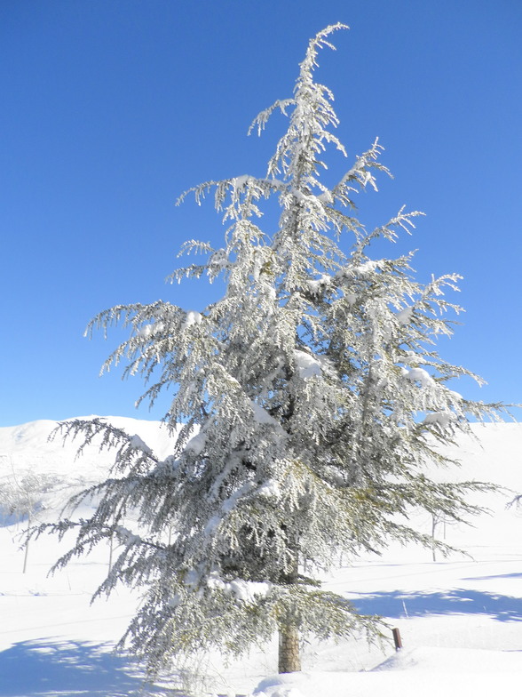
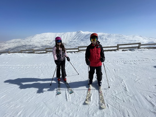
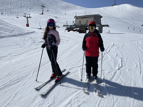
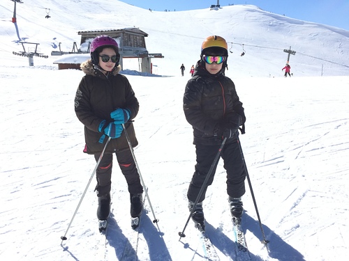
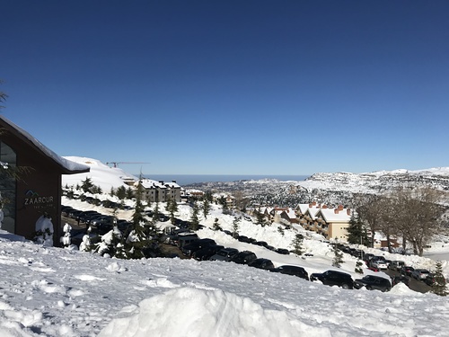
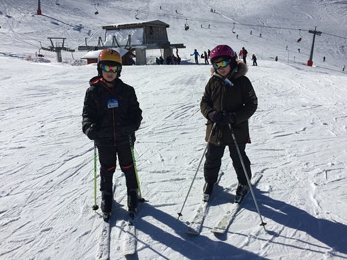
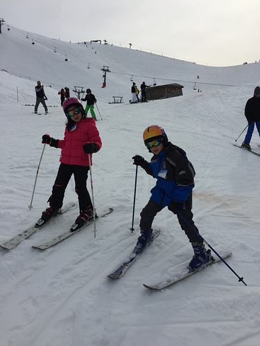
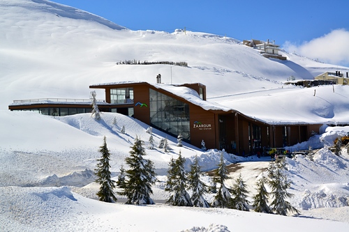
Zaarour Country Club is a gated community ski and summer resort located on the eastern flank of Mount Sannine in Metn. It is the closest ski resort to Beirut city (35 km). It would take about 45 minutes by car to reach the resort that offers all kinds of winter and summer outdoor activities. This breathtaking region offers an abundance of year-round activities, which take advantage of the surrounding environment. It is a perfect destination for winter sports and it presents countless opportunities for family fun in warmer months. The slopes are north-facing to offer a good quality of snow and a panoramic view on the famous Valley of Skulls. As a private resort, it is well controlled with excellent security measures taken to avoid incidents.

Explore Zaarour Club Location Map
Interactive Zaarour Club trail map and piste map. View the piste and trails as well as the surrounding terrain and mountain contours for backcountry action. Find and compare nearby resorts by clicking on the resort markers.

When's the snowiest month to visit Zaarour Club?
What's the snow currently like in Zaarour Club?
A summary of the current snow conditions in Zaarour Club. View more information on the Zaarour Club detailed snow report page.
- Piste Condition—
- Off-piste Condition—

| Upper snow depth: | ||
|---|---|---|
| Lower snow depth: | ||
Visitor Reviews of Zaarour Club
Pierre N. from Lebanon writes:
Zaarour club/Mtein is a ski resort in Maten Area ranges from 1650m to 2000m. and and Mzaar/Kfardebian another one in Keserwan area ranges from 1850 M to 2460 (Initially, the name was Faraya/Mzaar). Zaarour is closer to Beirut and less crowded, however Mzaar/Kfardebian is the largest ski resort in Lebanon.
Resorts close to Zaarour Club
Discover ski resorts near Zaarour Club. Click below to view there ski resort guides.
 Mount Hermon
 Nearest