

Global Weekly Snow Roundup #318
Weekly Snow News for the world, updated 11 June 2026: Australia's season begins, Val d’Isère reopens and major snowfall is forecast for the Andes.

Next 3 days weather summary:Light rain (total 8.0mm), mostly falling on Sun afternoon. Very mild (max 19°C on Sat afternoon, min 5°C on Sun night). Winds decreasing (fresh winds from the W on Fri afternoon, calm by Fri night). | Days 4-6 weather summary:Mostly dry. Warm (max 20°C on Wed afternoon, min 5°C on Mon night). Wind will be generally light. | |||||||||||||||||
Friday 12 | Saturday 13 | Sunday 14 | Monday 15 | Tuesday 16 | Wednesday 17 | |||||||||||||
AM | PM | night | AM | PM | night | AM | PM | night | AM | PM | night | AM | PM | night | AM | PM | night | |
some clouds | some clouds | some clouds | some clouds | some clouds | some clouds | rain shwrs | t-storm risk | rain shwrs | clear | clear | clear | clear | some clouds | clear | clear | clear | clear | |
km/h | ||||||||||||||||||
Snow map | 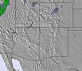 | 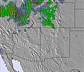 | 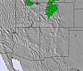 | 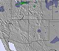 |  |  | ||||||||||||
— | — | — | — | — | — | — | — | — | — | — | — | — | — | — | — | — | — | |
— | — | — | — | — | — | 2 | 5 | 1 | — | — | — | — | — | — | — | — | — | |
max °C | 18 | 18 | 9 | 18 | 19 | 10 | 13 | 15 | 8 | 15 | 16 | 7 | 17 | 18 | 10 | 19 | 20 | 11 |
min °C | 14 | 17 | 7 | 15 | 18 | 7 | 12 | 8 | 5 | 12 | 15 | 5 | 13 | 17 | 7 | 15 | 19 | 8 |
13 | 16 | 7 | 15 | 18 | 7 | 11 | 7 | 5 | 10 | 13 | 5 | 12 | 16 | 7 | 15 | 18 | 8 | |
23 | 15 | 22 | 24 | 19 | 40 | 46 | 43 | 57 | 32 | 22 | 32 | 22 | 20 | 33 | 26 | 20 | 30 | |
4950 | 5250 | 4800 | 5000 | 5200 | 4750 | 4850 | 5050 | 4550 | 4750 | 5050 | 4650 | 5200 | 5550 | 5050 | 5300 | 5550 | 5100 | |
5:48 | — | — | 5:48 | — | — | 5:48 | — | — | 5:48 | — | — | 5:48 | — | — | 5:48 | — | — | |
— | 8:32 | — | — | 8:32 | — | — | 8:32 | — | — | 8:34 | — | — | 8:34 | — | — | 8:34 | — | |
Go pro and carve into:
Avalanche information: Colorado Avalanche Information Center
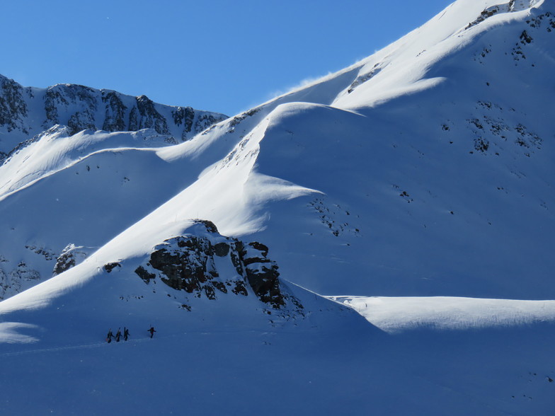
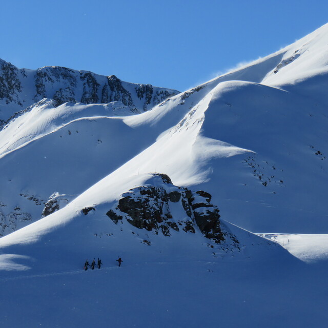
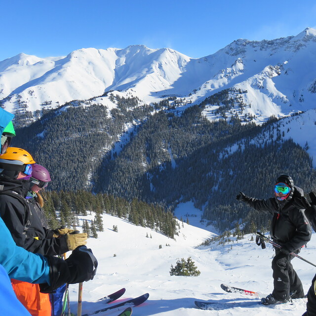
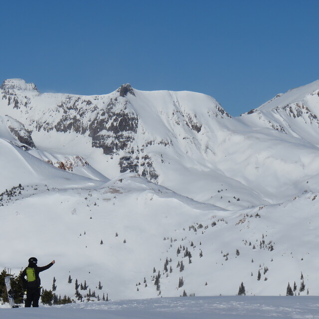
Latest snow reports near Silverton Mountain:
| Top snow depth: | — |
|---|---|
| Bottom snow depth: | — |
| Fresh snowfall depth: | — |
| Last snowfall: | 26 May 2026 |
| Snow Alerts | Create Alert |
0.0 | Bluebird Powder days Fresh snow, mostly sunny, light wind. |
|---|---|
0.0 | Powder days Fresh snow, limited sun, any wind. |
0.0 | Bluebird days Average snow, mostly sunny, light wind. |
The above table gives the weather forecast for Silverton Mountain at the specific elevation of 3170 m. Our sophisticated weather models allow us to provide snow forecasts for the top, middle and bottom ski stations of Silverton Mountain. To access the weather forecasts for the other elevations, use the tab navigation above the table. For a wider view of the weather, check out the Weather Map of United States.
Click here to read further information on freezing levels and how we forecast our temperatures.
Overall 1.8 Based on 4 votes and 1 review
Silverton Mt. ski area isn't new anymore. It has good skiing but with limits. Most of the season you have to have a guide, and most guides they offer are not really that experienced, as most are from places with little or no real skiing. When you are guided you have to ski down then stop and wait for the rest of your group. If you go make sure your group is good. They also make you spoon your turns. I've been a number of times and the skiing was good but give me Highlands on a good day without the restrictions any time. [note from the editor: the word 'new' has now been removed from the resort summary.]
Jamie from United States writes:
Silverton Mt. ski area isn't new anymore. It has good skiing but with limits. Most of the season you have to have a guide, and most guides they offer are not really that experienced, as most are from places with little or no real skiing. When you are guided you have to ski down then stop and wait for the rest of your group. If you go make sure your group is good. They also make you spoon your turns. I've been a number of times and the skiing was good but give me Highlands on a good day without the restrictions any time.
[note from the editor: the word 'new' has now been removed from the resort summary.]


 Nearest