

Global Weekly Snow Roundup #318
Weekly Snow News for the world, updated 11 June 2026: Australia's season begins, Val d’Isère reopens and major snowfall is forecast for the Andes.

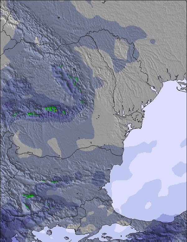
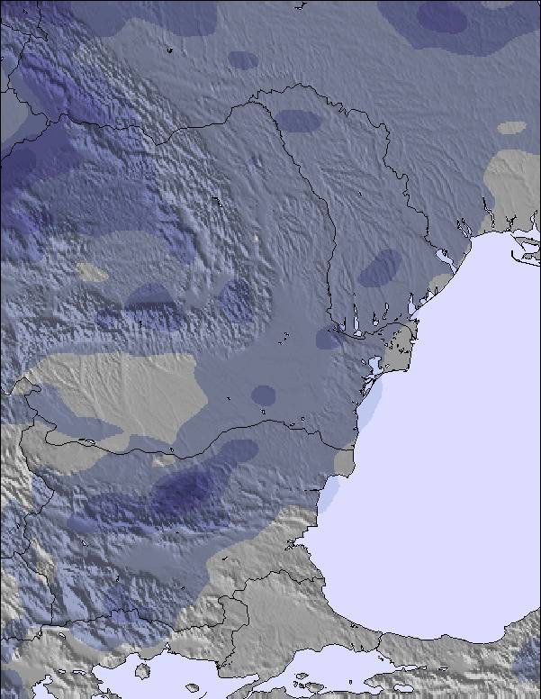
Next 3 days weather summary:Heavy rain (total 39.0mm), heaviest during Fri afternoon. Very mild (max 16°C on Sun afternoon, min 7°C on Fri afternoon). Wind will be generally light. | Days 4-6 weather summary:Moderate rain (total 14.0mm), heaviest on Mon morning. Very mild (max 16°C on Wed afternoon, min 10°C on Mon night). Wind will be generally light. | |||||||||||||||||
Friday 12 | Saturday 13 | Sunday 14 | Monday 15 | Tuesday 16 | Wednesday 17 | |||||||||||||
AM | PM | night | AM | PM | night | AM | PM | night | AM | PM | night | AM | PM | night | AM | PM | night | |
mod. rain | heavy rain | rain shwrs | clear | rain shwrs | some clouds | clear | rain shwrs | mod. rain | rain shwrs | rain shwrs | rain shwrs | rain shwrs | light rain | rain shwrs | some clouds | rain shwrs | clear | |
km/h | ||||||||||||||||||
Snow map | 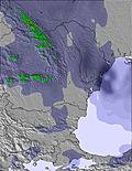 | 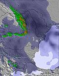 | 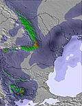 | 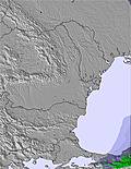 | 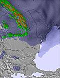 | 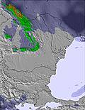 | ||||||||||||
— | — | — | — | — | — | — | — | — | — | — | — | — | — | — | — | — | — | |
10 | 17 | 2 | — | 1 | — | — | 1 | 8 | 4 | 2 | 1 | 1 | 4 | 1 | — | 1 | — | |
max °C | 9 | 7 | 8 | 11 | 13 | 11 | 14 | 16 | 14 | 15 | 15 | 13 | 13 | 12 | 11 | 14 | 16 | 14 |
min °C | 8 | 7 | 7 | 8 | 12 | 10 | 12 | 16 | 10 | 11 | 14 | 10 | 11 | 12 | 11 | 12 | 15 | 13 |
5 | 4 | 4 | 6 | 10 | 10 | 10 | 15 | 10 | 11 | 14 | 9 | 11 | 12 | 10 | 11 | 15 | 13 | |
100 | 99 | 94 | 85 | 60 | 82 | 74 | 53 | 72 | 84 | 69 | 74 | 77 | 88 | 64 | 64 | 53 | 59 | |
3300 | 3250 | 2850 | 2800 | 2850 | 2950 | 3250 | 3250 | 3350 | 3250 | 3300 | 3450 | 3300 | 3300 | 3300 | 3350 | 3200 | 3300 | |
5:28 | — | — | 5:28 | — | — | 5:28 | — | — | 5:28 | — | — | 5:28 | — | — | 5:28 | — | — | |
— | — | 9:06 | — | — | 9:06 | — | — | 9:07 | — | — | 9:07 | — | — | 9:07 | — | — | 9:07 | |
Go pro and carve into:
Avalanche information: European Avalanche Warning Services (EAWS)
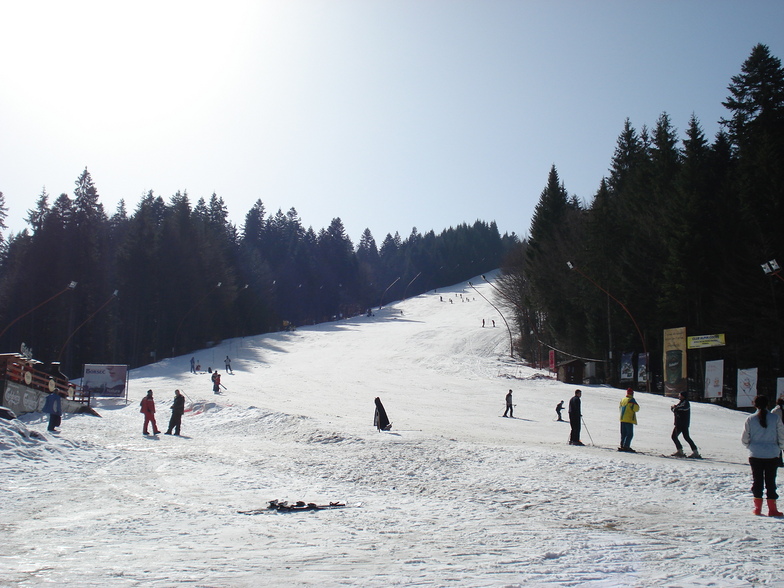
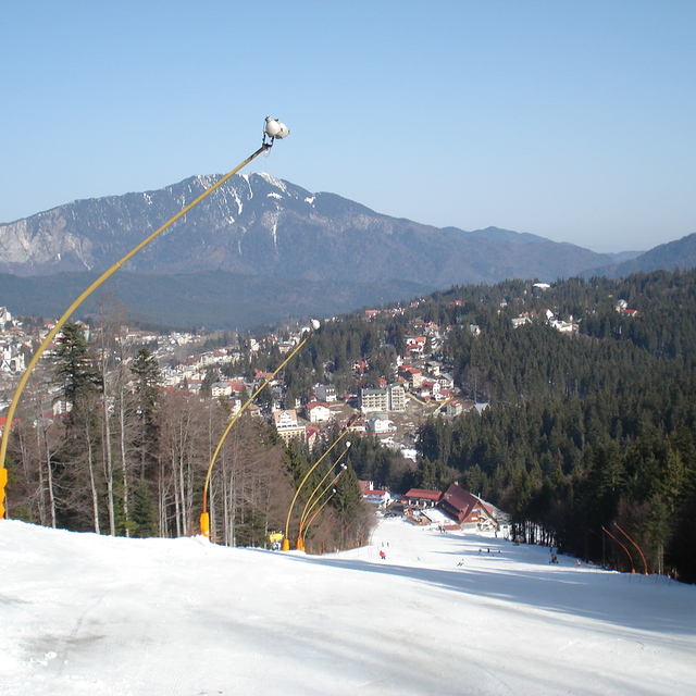
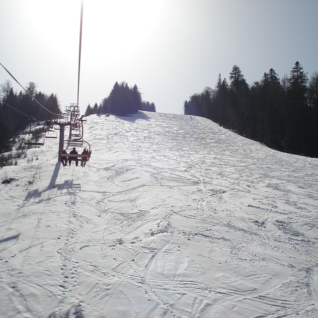
Latest snow reports near Predeal:
| Top snow depth: | — |
|---|---|
| Bottom snow depth: | — |
| Fresh snowfall depth: | — |
| Last snowfall: | 13 May 2026 |
| Snow Alerts | Create Alert |
0.0 | Bluebird Powder days Fresh snow, mostly sunny, light wind. |
|---|---|
0.0 | Powder days Fresh snow, limited sun, any wind. |
0.0 | Bluebird days Average snow, mostly sunny, light wind. |
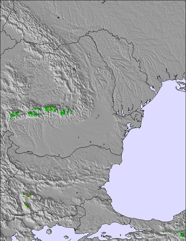
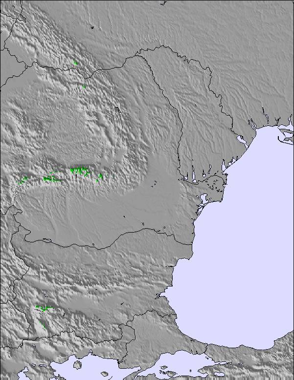
The above table gives the weather forecast for Predeal at the specific elevation of 1236 m. Our sophisticated weather models allow us to provide snow forecasts for the top, middle and bottom ski stations of Predeal. To access the weather forecasts for the other elevations, use the tab navigation above the table. For a wider view of the weather, check out the Weather Map of Romania.
Click here to read further information on freezing levels and how we forecast our temperatures.
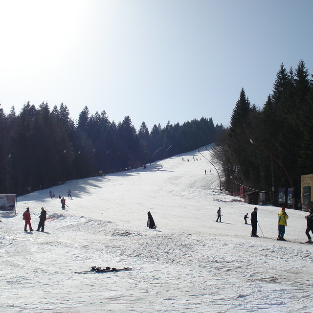
I went a few years ago to Predeal. It's so easy to take a train from Bucharest. Skiing is close to the train station. In the daytime people just walk up the train tracks and cut through. When I arrived there was no snow, whole place was closed except one bar, but thought I would have a beer. Then the snow started and after one hour place was transformed. Had a nice afternoon, I was almost alone on the pistes. Skiing straight down under the chair lift is also possible. So, it's now 2022 and I went last week and there was no snow. But will try again tomorrow (Jan 12th 2022).
John Scarborough from United Kingdom writes:
I went a few years ago to Predeal. It's so easy to take a train from Bucharest. Skiing is close to the train station. In the daytime people just walk up the train tracks and cut through. When I arrived there was no snow, whole place was closed except one bar, but thought I would have a beer. Then the snow started and after one hour place was transformed. Had a nice afternoon, I was almost alone on the pistes. Skiing straight down under the chair lift is also possible. So, it's now 2022 and I went last week and there was no snow. But will try again tomorrow (Jan 12th 2022).

 Nearest