Moderate rain (total 19.0mm), heaviest on Wed morning. Very mild (max 11°C on Tue night, min 3°C on Mon afternoon). Winds increasing (moderate winds from the SSW on Mon afternoon, severe gales from the SSE by Tue night).
Days 4-6 weather summary:
Heavy rain (total 20.0mm), heaviest during Thu night. Mild temperatures (max 6°C on Sun morning, min 1°C on Fri night). Winds decreasing (strong winds from the SSW on Thu night, moderate winds from the WSW by Fri night).
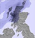
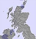
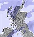
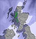
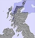
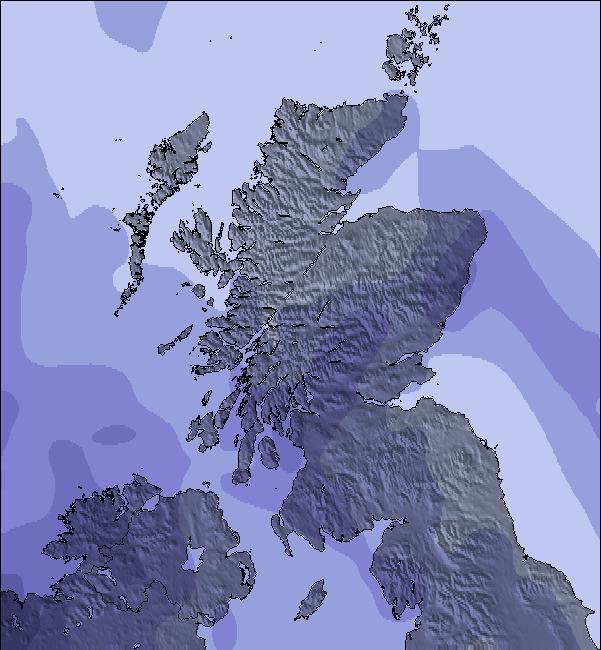
The above table gives the weather forecast for Nevis Range at the specific elevation of 1221 m. Our sophisticated weather models allow us to provide snow forecasts for the top, middle and bottom ski stations of Nevis Range. To access the weather forecasts for the other elevations, use the tab navigation above the table. For a wider view of the weather, check out the Weather Map of United Kingdom.
Click here to read further information on freezing levels and how we forecast our temperatures.
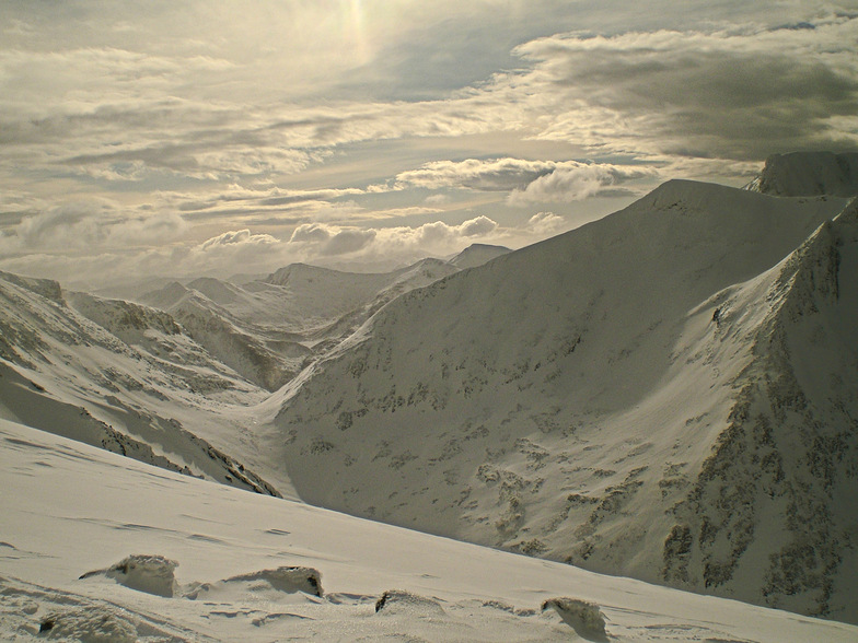
Just returned (Feb 2013) from my second trip to Scotland's suposed best skiing and yet again, for the second year running, at the height of the season there was absolutely no snow. Now, whilst I agree that that is uncontrollable, what I'm annoyed about are the blatant lies that Nevis Range and the neighbouring Glencoe unashamedly band about on their websites and at the base station. '40cm of hard packed snow' and 'good riding conditions on a firm base' really translates to frozen mud and grass with rocks everywhere. Unfortunately, you cannot observe this without taking the gondola up first. It was quite sad to see people exiting the top gondola station, fully equipped with helmets, boots, etc only to be met with zero lifts operating with the 'All runs groomed and open' pistes (thin strips of icy mud) only accessible by yomping up the mountain! And they were charging £30 for the pleasure! The whole place looks run down and like a leisure centre from the 1970s.
Also, Fort William is not somewhere to find 'apres-ski'. It's an ugly looking council estate with a Morrisons as the main attraction.
Spend your money on a Ryanair or Easyjet ticket for the weekend and go somewhere with snow, lower prices and a bit of culture.
Just returned (Feb 2013) from my second trip to Scotland's suposed best skiing and yet again, for the second year running, at the height of the season there was absolutely no snow. Now, whilst I agree that that is uncontrollable, what I'm annoyed about are the blatant lies that Nevis Range and the neighbouring Glencoe unashamedly band about on their websites and at the base station. '40cm of hard packed snow' and 'good riding conditions on a firm base' really translates to frozen mud and grass with rocks everywhere. Unfortunately, you cannot observe this without taking the gondola up first. It was quite sad to see people exiting the top gondola station, fully equipped with helmets, boots, etc only to be met with zero lifts operating with the 'All runs groomed and open' pistes (thin strips of icy mud) only accessible by yomping up the mountain! And they were charging £30 for the pleasure! The whole place looks run down and like a leisure centre from the 1970s.
Also, Fort William is not somewhere to find 'apres-ski'. It's an ugly looking council estate with a Morrisons as the main attraction.
Spend your money on a Ryanair or Easyjet ticket for the weekend and go somewhere with snow, lower prices and a bit of culture.
Free Snow-Forecast.com weather widget for your website
Embed the Nevis Range weather widget on your site for free. It provides a weekly snapshot of snow and rain conditions across all elevations. Follow the two quick steps to grab your custom code and paste it into your site. Choose between metric or imperial units. Click here to get the code.





 Snow
Snow Hourly & 16-day forecasts


 Sign up or Login to access
 Upload new photo
 Nearest