

Global Weekly Snow Roundup #318
Weekly Snow News for the world, updated 11 June 2026: Australia's season begins, Val d’Isère reopens and major snowfall is forecast for the Andes.

Next 3 days weather summary:Mostly dry. Warm (max 23°C on Sat afternoon, min 11°C on Sun night). Wind will be generally light. | Days 4-6 weather summary:Moderate rain (total 11.0mm), heaviest on Thu night. Warm (max 27°C on Thu afternoon, min 14°C on Tue night). Wind will be generally light. | |||||||||||||||||
Saturday 13 | Sunday 14 | Monday 15 | Tuesday 16 | Wednesday 17 | Thursday 18 | |||||||||||||
AM | PM | night | AM | PM | night | AM | PM | night | AM | PM | night | AM | PM | night | AM | PM | night | |
clear | clear | some clouds | some clouds | some clouds | clear | clear | clear | clear | cloudy | some clouds | clear | clear | clear | clear | clear | clear | heavy rain | |
km/h | ||||||||||||||||||
Snow map |  |  |  |  |  |  | ||||||||||||
— | — | — | — | — | — | — | — | — | — | — | — | — | — | — | — | — | — | |
— | — | — | — | — | — | — | — | — | — | — | — | — | — | — | — | — | 11 | |
max °C | 20 | 23 | 20 | 20 | 22 | 18 | 19 | 21 | 18 | 19 | 22 | 19 | 23 | 26 | 22 | 25 | 27 | 21 |
min °C | 15 | 23 | 13 | 16 | 22 | 11 | 15 | 21 | 11 | 15 | 21 | 14 | 18 | 25 | 16 | 20 | 27 | 16 |
15 | 23 | 13 | 16 | 22 | 11 | 15 | 21 | 11 | 15 | 21 | 14 | 18 | 25 | 16 | 20 | 27 | 16 | |
47 | 35 | 53 | 36 | 34 | 59 | 44 | 37 | 62 | 47 | 36 | 47 | 37 | 34 | 45 | 37 | 37 | 62 | |
4000 | 4100 | 3950 | 3750 | 3650 | 3650 | 3450 | 3500 | 3700 | 3900 | 3900 | 3950 | 4000 | 4100 | 4150 | 4150 | 4250 | 4050 | |
5:43 | — | — | 5:43 | — | — | 5:43 | — | — | 5:43 | — | — | 5:43 | — | — | 5:43 | — | — | |
— | — | 9:24 | — | — | 9:24 | — | — | 9:25 | — | — | 9:25 | — | — | 9:27 | — | — | 9:27 | |
Go pro and carve into:
Avalanche information: European Avalanche Warning Services (EAWS)
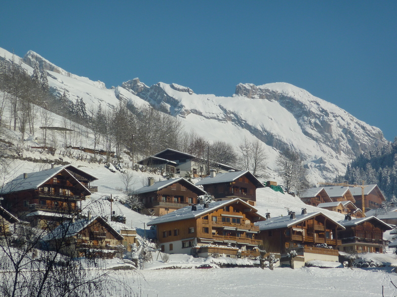
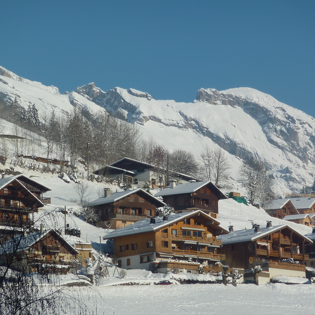
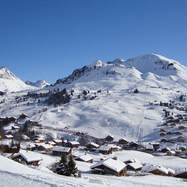
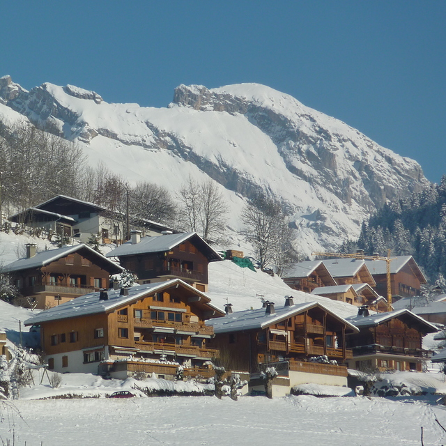
Latest snow reports near Le Grand Bornand:
| Top snow depth: | 0 cm |
|---|---|
| Bottom snow depth: | 0 cm |
| Fresh snowfall depth: | — |
| Last snowfall: | 16 May 2026 |
| Snow Alerts | Create Alert |
0.0 | Bluebird Powder days Fresh snow, mostly sunny, light wind. |
|---|---|
0.0 | Powder days Fresh snow, limited sun, any wind. |
0.0 | Bluebird days Average snow, mostly sunny, light wind. |
The above table gives the weather forecast for Le Grand Bornand at the specific elevation of 1000 m. Our sophisticated weather models allow us to provide snow forecasts for the top, middle and bottom ski stations of Le Grand Bornand. To access the weather forecasts for the other elevations, use the tab navigation above the table. For a wider view of the weather, check out the Weather Map of France.
Click here to read further information on freezing levels and how we forecast our temperatures.
Overall 4.2 Based on 37 votes and 31 reviews
We are here again! The most fabulous resort! Kids are now 91/2 and 12 and are leaving me well behind now! They are getting on brilliantly and very independent! Only down side is our favourite restaurant for lunch "La Soleray" is shut so having to visit others! Remember, keep this little gem quiet :)
Kathy from United Kingdom writes:
We are here again! The most fabulous resort! Kids are now 91/2 and 12 and are leaving me well behind now! They are getting on brilliantly and very independent! Only down side is our favourite restaurant for lunch "La Soleray" is shut so having to visit others! Remember, keep this little gem quiet :)


 Nearest