


Global Weekly Snow Roundup #318
Weekly Snow News for the world, updated 11 June 2026: Australia's season begins, Val d’Isère reopens and major snowfall is forecast for the Andes.

Next 4 days weather summary:Light rain (total 2.0mm), mostly falling on Sun night. Very mild (max 15°C on Sat afternoon, min 4°C on Fri night). Wind will be generally light. | Days 5-7 weather summary:Light rain (total 8.0mm), mostly falling on Tue afternoon. Very mild (max 18°C on Wed afternoon, min 6°C on Mon night). Wind will be generally light. | |||||||||||||||
Saturday 13 | Sunday 14 | Monday 15 | Tuesday 16 | Wednesday 17 | ||||||||||||
night | AM | PM | night | AM | PM | night | AM | PM | night | AM | PM | night | AM | PM | night | |
some clouds | clear | clear | some clouds | some clouds | some clouds | rain shwrs | some clouds | rain shwrs | rain shwrs | some clouds | light rain | rain shwrs | clear | clear | clear | |
km/h | ||||||||||||||||
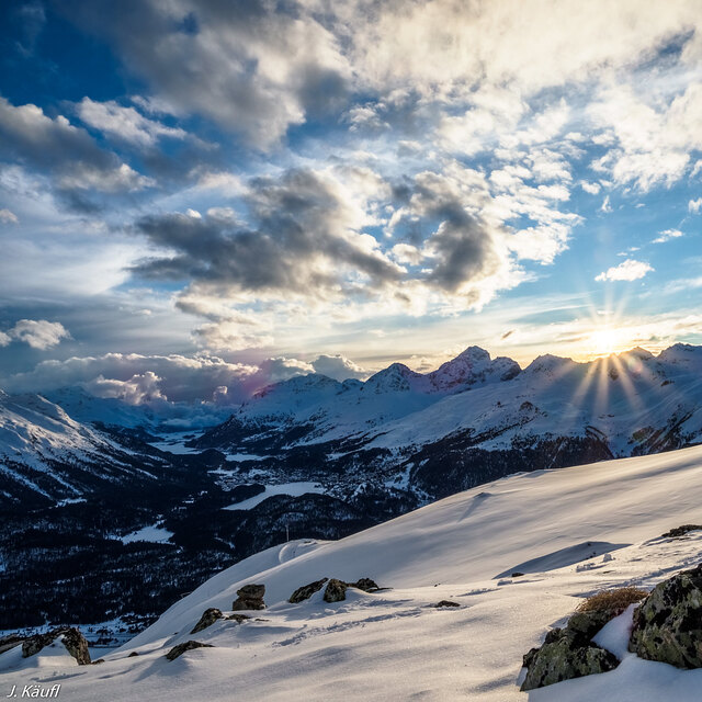
Snow map |  |  |  |  |  |  | ||||||||||
— | — | — | — | — | — | — | — | — | — | — | — | — | — | — | — | |
— | — | — | — | — | — | 1 | — | 1 | 1 | — | 3 | 2 | — | — | — | |
max °C | 7 | 12 | 15 | 14 | 13 | 15 | 12 | 12 | 14 | 10 | 12 | 13 | 11 | 14 | 18 | 16 |
min °C | 4 | 8 | 15 | 6 | 9 | 15 | 5 | 8 | 13 | 6 | 9 | 12 | 6 | 10 | 17 | 10 |
2 | 7 | 15 | 6 | 9 | 15 | 4 | 7 | 12 | 6 | 9 | 12 | 5 | 10 | 17 | 10 | |
81 | 51 | 38 | 67 | 47 | 40 | 78 | 55 | 62 | 83 | 64 | 76 | 80 | 49 | 46 | 68 | |
3550 | 3600 | 3900 | 3800 | 3650 | 3850 | 3650 | 3450 | 3600 | 3450 | 3500 | 3550 | 3700 | 3850 | 4300 | 4150 | |
— | 5:26 | — | — | 5:26 | — | — | 5:26 | — | — | 5:26 | — | — | 5:26 | — | — | |
— | — | — | 9:14 | — | — | 9:14 | — | — | 9:15 | — | — | 9:15 | — | — | 9:15 | |
Go pro and carve into:
Avalanche information: European Avalanche Warning Services (EAWS)
Latest snow reports near La Punt/Engadin:
Light rain reported from Samedan Airport at 1706 metres elevation 6 kms S of La Punt/Engadin but it is forecast cold enough for snow at higher elevations in the ski area from La Punt/Engadin
| Top snow depth: | 7 cm |
|---|---|
| Bottom snow depth: | — |
| Fresh snowfall depth: | 14 cm |
| Last snowfall: | 10 Jun 2026 |
| Snow Alerts | Create Alert |
0.0 | Bluebird Powder days Fresh snow, mostly sunny, light wind. |
|---|---|
0.0 | Powder days Fresh snow, limited sun, any wind. |
0.0 | Bluebird days Average snow, mostly sunny, light wind. |
The above table gives the weather forecast for La Punt/Engadin at the specific elevation of 1974 m. Our sophisticated weather models allow us to provide snow forecasts for the top, middle and bottom ski stations of La Punt/Engadin. To access the weather forecasts for the other elevations, use the tab navigation above the table. For a wider view of the weather, check out the Weather Map of Switzerland.
Click here to read further information on freezing levels and how we forecast our temperatures.


 Nearest