


Global Weekly Snow Roundup #318
Weekly Snow News for the world, updated 11 June 2026: Australia's season begins, Val d’Isère reopens and major snowfall is forecast for the Andes.

Next 3 days weather summary:Mostly dry. Very mild (max 16°C on Sat afternoon, min 7°C on Fri morning). Wind will be generally light. | Days 4-6 weather summary:Mostly dry. Very mild (max 16°C on Wed afternoon, min 9°C on Tue night). Wind will be generally light. | |||||||||||||||||
Friday 12 | Saturday 13 | Sunday 14 | Monday 15 | Tuesday 16 | Wednesday 17 | |||||||||||||
AM | PM | night | AM | PM | night | AM | PM | night | AM | PM | night | AM | PM | night | AM | PM | night | |
clear | clear | clear | clear | clear | some clouds | some clouds | some clouds | clear | clear | clear | clear | some clouds | some clouds | some clouds | clear | clear | clear | |
km/h | ||||||||||||||||||
Snow map |  |  |  |  |  |  | ||||||||||||
— | — | — | — | — | — | — | — | — | — | — | — | — | — | — | — | — | — | |
— | — | — | — | — | — | — | — | — | — | — | — | — | — | — | — | — | — | |
max °C | 11 | 13 | 12 | 15 | 16 | 15 | 14 | 15 | 13 | 12 | 14 | 13 | 13 | 14 | 12 | 13 | 16 | 15 |
min °C | 7 | 13 | 10 | 12 | 16 | 11 | 12 | 14 | 9 | 10 | 14 | 10 | 10 | 14 | 9 | 10 | 16 | 11 |
5 | 12 | 9 | 12 | 16 | 10 | 11 | 13 | 8 | 9 | 13 | 9 | 10 | 14 | 9 | 10 | 16 | 11 | |
59 | 58 | 69 | 29 | 41 | 53 | 29 | 40 | 59 | 40 | 40 | 60 | 37 | 48 | 68 | 50 | 52 | 78 | |
3700 | 3800 | 4150 | 4200 | 4150 | 4150 | 3950 | 3900 | 3850 | 3650 | 3850 | 3800 | 3700 | 3800 | 3700 | 3800 | 4200 | 4000 | |
5:45 | — | — | 5:45 | — | — | 5:45 | — | — | 5:45 | — | — | 5:45 | — | — | 5:45 | — | — | |
— | — | 9:20 | — | — | 9:21 | — | — | 9:21 | — | — | 9:22 | — | — | 9:22 | — | — | 9:22 | |
Go pro and carve into:
Avalanche information: European Avalanche Warning Services (EAWS)
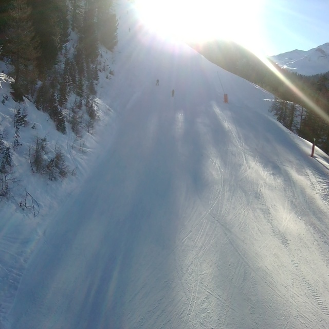
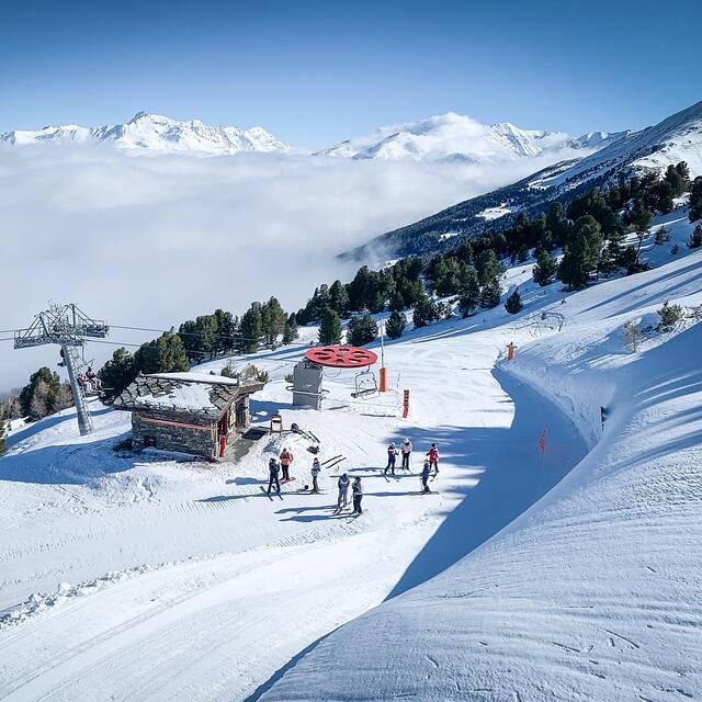
Latest snow reports near La Norma:
| Top snow depth: | 0 cm |
|---|---|
| Bottom snow depth: | 0 cm |
| Fresh snowfall depth: | — |
| Last snowfall: | 18 May 2026 |
| Snow Alerts | Create Alert |
0.0 | Bluebird Powder days Fresh snow, mostly sunny, light wind. |
|---|---|
0.0 | Powder days Fresh snow, limited sun, any wind. |
0.0 | Bluebird days Average snow, mostly sunny, light wind. |
The above table gives the weather forecast for La Norma at the specific elevation of 2050 m. Our sophisticated weather models allow us to provide snow forecasts for the top, middle and bottom ski stations of La Norma. To access the weather forecasts for the other elevations, use the tab navigation above the table. For a wider view of the weather, check out the Weather Map of France.
Click here to read further information on freezing levels and how we forecast our temperatures.
Overall 3.7 Based on 20 votes and 3 reviews
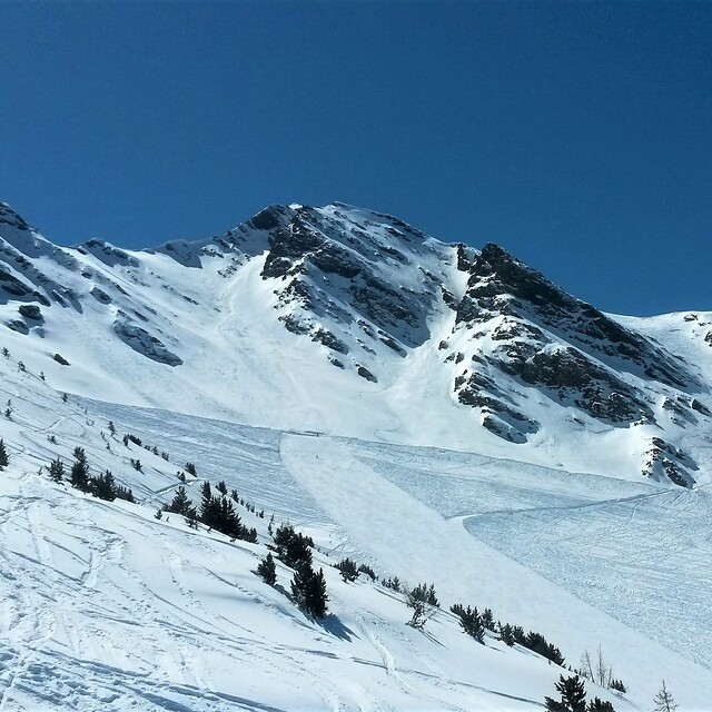
Visited La Norma end March/early April 2010, just a day visit as we were staying at Valfrejus just 20mins up the road and it's on the same 3 resorts pass. The village is typical french 1960's built, with a few ugly blocks but the skiing is varied and interesting, although a few of the lifts (older chairs) were very slow. It covers a wide section of the main mountainside and feels like you are travelling a bit rather than covering the same runs as you sometimes feel in other smaller resorts. Lots of stuff for all grades up the mountain including good snow-sure nursery slopes near the top of the gondola. Overall, well worth a visit if you are in the area, especially on the 3 resort lift pass arrangement with Valfrejus and Aussios.
Rick Paris from United Kingdom writes:
Visited La Norma end March/early April 2010, just a day visit as we were staying at Valfrejus just 20mins up the road and it's on the same 3 resorts pass.
The village is typical french 1960's built, with a few ugly blocks but the skiing is varied and interesting, although a few of the lifts (older chairs) were very slow. It covers a wide section of the main mountainside and feels like you are travelling a bit rather than covering the same runs as you sometimes feel in other smaller resorts. Lots of stuff for all grades up the mountain including good snow-sure nursery slopes near the top of the gondola. Overall, well worth a visit if you are in the area, especially on the 3 resort lift pass arrangement with Valfrejus and Aussios.


 Nearest