

Global Weekly Snow Roundup #318
Weekly Snow News for the world, updated 11 June 2026: Australia's season begins, Val d’Isère reopens and major snowfall is forecast for the Andes.

Next 3 days weather summary:Mostly dry. Very mild (max 16°C on Sun afternoon, min 5°C on Fri morning). Wind will be generally light. | Days 4-6 weather summary:Mostly dry. Very mild (max 16°C on Mon afternoon, min 8°C on Mon night). Mainly fresh winds. | |||||||||||||||||
Friday 12 | Saturday 13 | Sunday 14 | Monday 15 | Tuesday 16 | Wednesday 17 | |||||||||||||
AM | PM | night | AM | PM | night | AM | PM | night | AM | PM | night | AM | PM | night | AM | PM | night | |
clear | clear | clear | clear | clear | some clouds | clear | clear | some clouds | some clouds | some clouds | clear | clear | clear | clear | clear | clear | some clouds | |
km/h | ||||||||||||||||||
Snow map | 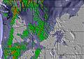 | 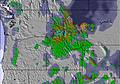 | 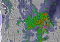 |  |  | 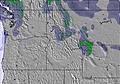 | ||||||||||||
— | — | — | — | — | — | — | — | — | — | — | — | — | — | — | — | — | — | |
— | — | — | — | — | — | — | — | — | — | — | — | — | — | — | — | — | — | |
max °C | 8 | 9 | 8 | 11 | 13 | 12 | 13 | 16 | 14 | 15 | 16 | 13 | 12 | 13 | 11 | 13 | 15 | 13 |
min °C | 5 | 9 | 7 | 9 | 13 | 11 | 12 | 15 | 14 | 14 | 15 | 8 | 9 | 12 | 9 | 11 | 15 | 11 |
2 | 6 | 7 | 9 | 13 | 11 | 12 | 15 | 13 | 13 | 13 | 4 | 6 | 9 | 6 | 9 | 14 | 10 | |
30 | 26 | 39 | 34 | 41 | 41 | 38 | 38 | 27 | 32 | 40 | 68 | 43 | 30 | 40 | 25 | 24 | 19 | |
3500 | 3500 | 3350 | 3350 | 3800 | 3800 | 3800 | 4350 | 4600 | 4600 | 4750 | 4500 | 4500 | 4650 | 4700 | 4450 | 4550 | 4600 | |
5:11 | — | — | 5:09 | — | — | 5:09 | — | — | 5:09 | — | — | 5:09 | — | — | 5:09 | — | — | |
— | — | 9:00 | — | — | 9:00 | — | — | 9:01 | — | — | 9:01 | — | — | 9:01 | — | — | 9:02 | |
Go pro and carve into:
Avalanche information: National Avalanche Center
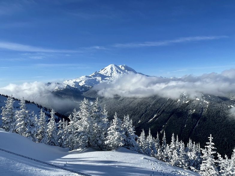
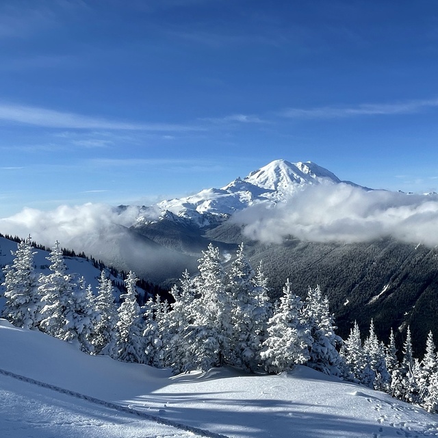
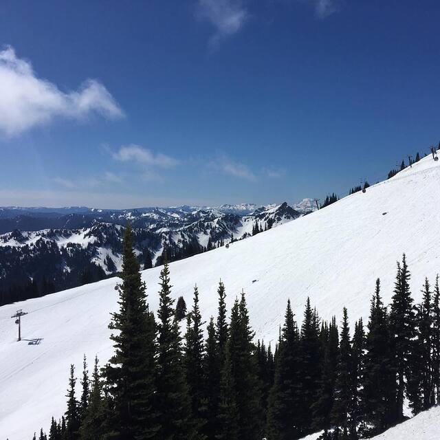
Latest snow reports near Crystal Mountain:
| Top snow depth: | — |
|---|---|
| Bottom snow depth: | — |
| Fresh snowfall depth: | — |
| Last snowfall: | 9 Jun 2026 |
| Snow Alerts | Create Alert |
0.1 | Bluebird Powder days Fresh snow, mostly sunny, light wind. |
|---|---|
0.6 | Powder days Fresh snow, limited sun, any wind. |
0.1 | Bluebird days Average snow, mostly sunny, light wind. |
The above table gives the weather forecast for Crystal Mountain at the specific elevation of 2137 m. Our sophisticated weather models allow us to provide snow forecasts for the top, middle and bottom ski stations of Crystal Mountain. To access the weather forecasts for the other elevations, use the tab navigation above the table. For a wider view of the weather, check out the Weather Map of United States.
Click here to read further information on freezing levels and how we forecast our temperatures.
Overall 3.2 Based on 36 votes and 11 reviews
Crystal Mountain is great and a super beautiful resort. As a beginner/intermediate I've enjoyed Forest Queen (green) and the surrounding blues. I'm looking forward to Lucky Shot and other blues further up the mountain. I find it interesting that someone in a previous review called Crystal Mountain workers "mask Nazis"... I don't think real Nazis told people to wear masks for public safety reasons. Nazis killed people. Anyway, go to Crystal Mountain. Wear a mask. When folks gently tell you to put yours on once you are back at the lift, just do it. It's a rule we agree to when we enter and it keeps places that should be safe, like ski lifts, safe. Thank you Crystal Mountain staff for making the mountain a safer place for us skiers and snowboarders, as I'm sure you have done for decades.
Molly from United States writes:
Crystal Mountain is great and a super beautiful resort. As a beginner/intermediate I've enjoyed Forest Queen (green) and the surrounding blues. I'm looking forward to Lucky Shot and other blues further up the mountain. I find it interesting that someone in a previous review called Crystal Mountain workers "mask Nazis"... I don't think real Nazis told people to wear masks for public safety reasons. Nazis killed people. Anyway, go to Crystal Mountain. Wear a mask. When folks gently tell you to put yours on once you are back at the lift, just do it. It's a rule we agree to when we enter and it keeps places that should be safe, like ski lifts, safe. Thank you Crystal Mountain staff for making the mountain a safer place for us skiers and snowboarders, as I'm sure you have done for decades.


 Nearest