

Global Weekly Snow Roundup #318
Weekly Snow News for the world, updated 11 June 2026: Australia's season begins, Val d’Isère reopens and major snowfall is forecast for the Andes.

Next 3 days weather summary:A light covering of new snow, mostly falling on Sat night. Temperatures will be below freezing (max -1°C on Sat afternoon, min -7°C on Fri night). Mainly gales. | Days 4-6 weather summary:A moderate fall of snow, heaviest on Mon night. Temperatures will be below freezing (max -2°C on Thu morning, min -7°C on Mon night). Winds decreasing (near gales from the SW on Mon night, calm by Tue night). | ||||||||||||||||
Fri 12 | Saturday 13 | Sunday 14 | Monday 15 | Tuesday 16 | Wednesday 17 | ||||||||||||
PM | night | AM | PM | night | AM | PM | night | AM | PM | night | AM | PM | night | AM | PM | night | |
light snow | some clouds | cloudy | light snow | light snow | light snow | light snow | snow shwrs | some clouds | mod. snow | snow shwrs | light snow | snow shwrs | some clouds | cloudy | cloudy | light snow | |
km/h | |||||||||||||||||
Snow map | 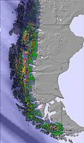 | 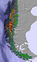 | 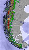 | 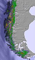 | 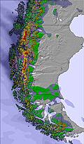 | 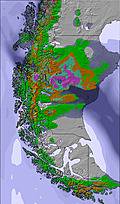 | |||||||||||
2 | — | — | — | 3 | — | — | 1 | — | 7 | 7 | — | — | — | — | — | 1 | |
— | — | — | — | — | — | — | — | — | — | — | — | — | — | — | — | — | |
max °C | -6 | -4 | -3 | -1 | -1 | -3 | -1 | -1 | -2 | -3 | -5 | -6 | -6 | -5 | -4 | -4 | -3 |
min °C | -6 | -7 | -3 | -1 | -3 | -4 | -2 | -1 | -2 | -3 | -7 | -7 | -6 | -7 | -5 | -4 | -3 |
-14 | -16 | -9 | -7 | -13 | -14 | -10 | -5 | -12 | -12 | -18 | -18 | -16 | -14 | -5 | -6 | -6 | |
96 | 94 | 75 | 93 | 98 | 95 | 92 | 92 | 89 | 95 | 93 | 94 | 91 | 72 | 58 | 60 | 94 | |
100 | 0 | 0 | 700 | 650 | 400 | 650 | 700 | 650 | 550 | 100 | 0 | 100 | 0 | 0 | 250 | 0 | |
— | — | 9:52 | — | — | 9:53 | — | — | 9:53 | — | — | 9:55 | — | — | 9:55 | — | — | |
5:09 | — | — | 5:09 | — | — | 5:09 | — | — | 5:09 | — | — | 5:09 | — | — | 5:09 | — | |
Go pro and carve into:
Avalanche information: Centro de Información de Avalanchas CIAV
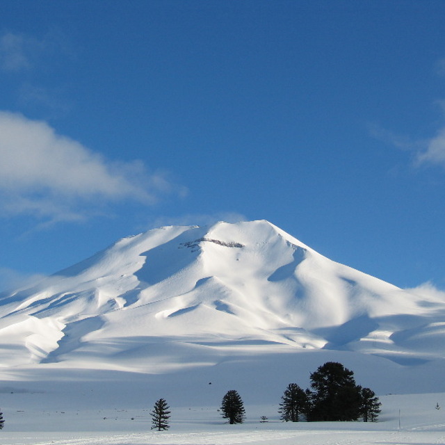
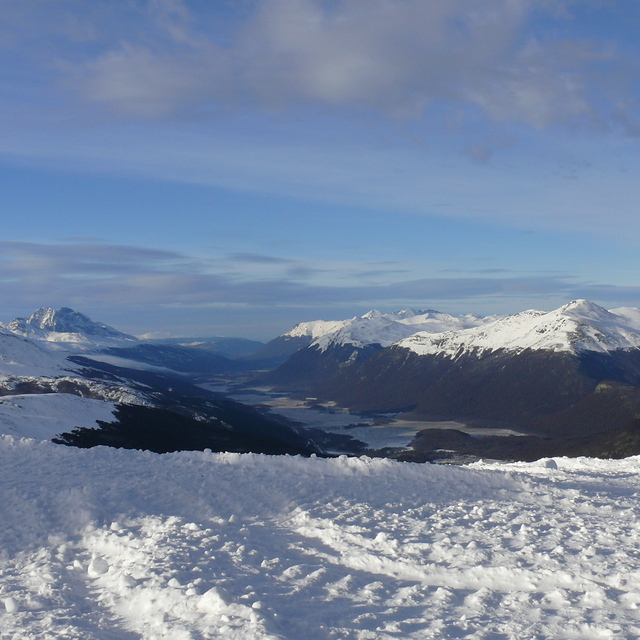
Latest snow reports near Cerro Castor:
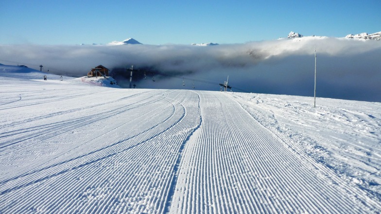
Snow falling in Cerro Castor. from Cerro Castor
| Top snow depth: | 0 cm |
|---|---|
| Bottom snow depth: | 0 cm |
| Fresh snowfall depth: | 5 cm |
| Last snowfall: | 11 Jun 2026 |
| Snow Alerts | Create Alert |
0.4 | Bluebird Powder days Fresh snow, mostly sunny, light wind. |
|---|---|
1.3 | Powder days Fresh snow, limited sun, any wind. |
1.0 | Bluebird days Average snow, mostly sunny, light wind. |
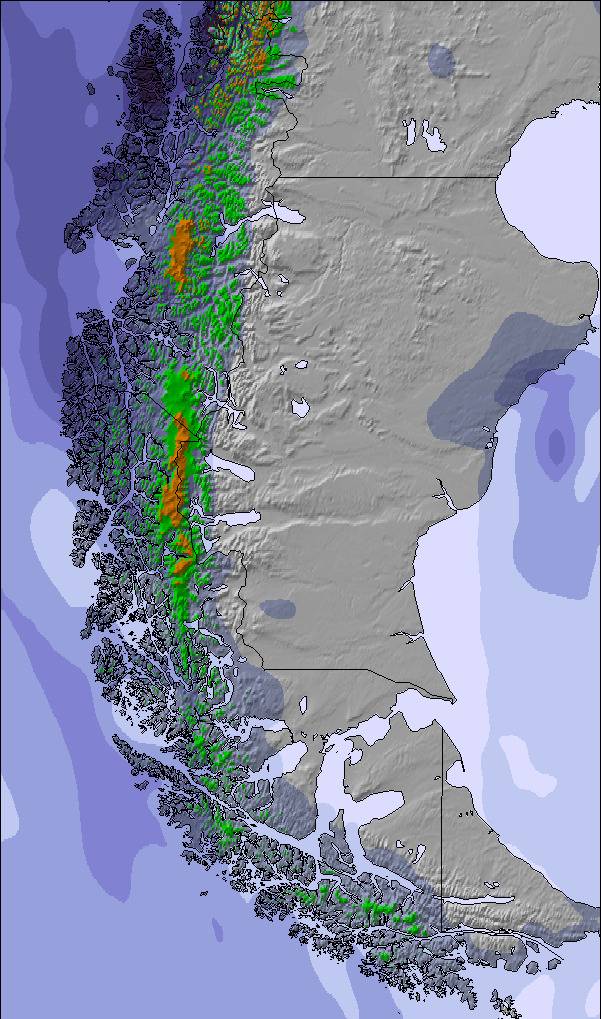
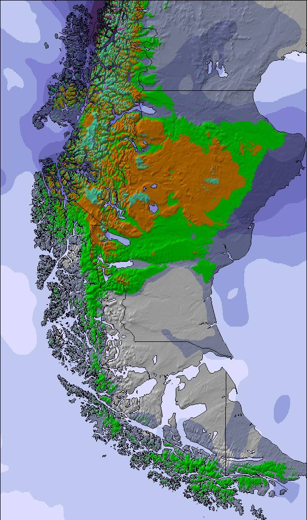
The above table gives the weather forecast for Cerro Castor at the specific elevation of 966 m. Our sophisticated weather models allow us to provide snow forecasts for the top, middle and bottom ski stations of Cerro Castor. To access the weather forecasts for the other elevations, use the tab navigation above the table. For a wider view of the weather, check out the Weather Map of Argentina.
Click here to read further information on freezing levels and how we forecast our temperatures.
Overall 3.9 Based on 37 votes and 22 reviews
Cerro Castor se presenta nieve segura incluso en las temporadas más pobres. Poca cantidad de gente. Prolongada temporada con nieve primavera hasta fines de septiembre donde se disfruta buena temperatura y sol.
franco from Argentina writes:
Cerro Castor se presenta nieve segura incluso en las temporadas más pobres. Poca cantidad de gente. Prolongada temporada con nieve primavera hasta fines de septiembre donde se disfruta buena temperatura y sol.

 Nearest