

Global Weekly Snow Roundup #318
Weekly Snow News for the world, updated 11 June 2026: Australia's season begins, Val d’Isère reopens and major snowfall is forecast for the Andes.

Next 3 days weather summary:A dusting of snow. Milder later with heavy rain (total 20.0mm) on Sun morning. Freeze-thaw conditions (max 3°C on Sat night, min -5°C on Fri night). Winds increasing (light winds from the W on Fri night, fresh winds from the SW by Sat night). | Days 4-6 weather summary:Mild with light rain (total 5.0mm) on Mon morning Becoming colder with a light covering of snow, mostly falling on Mon night. Freeze-thaw conditions (max 2°C on Mon morning, min -6°C on Tue night). Winds decreasing (fresh winds from the SW on Mon night, calm by Tue night). | |||||||||||||||||
Friday 12 | Saturday 13 | Sunday 14 | Monday 15 | Tuesday 16 | Wednesday 17 | |||||||||||||
AM | PM | night | AM | PM | night | AM | PM | night | AM | PM | night | AM | PM | night | AM | PM | night | |
light snow | snow shwrs | some clouds | cloudy | light rain | light rain | light snow | light rain | rain shwrs | light snow | light snow | snow shwrs | some clouds | some clouds | cloudy | cloudy | cloudy | light snow | |
km/h | ||||||||||||||||||
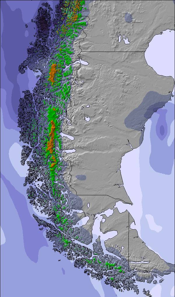
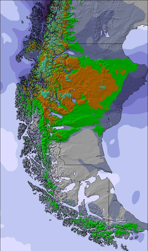
Snow map | 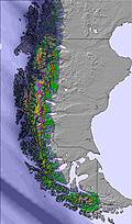 | 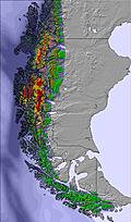 | 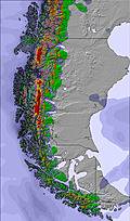 | 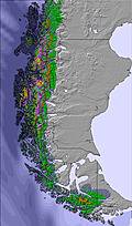 | 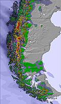 | 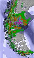 | ||||||||||||
1 | 1 | — | — | — | — | 1 | — | — | — | 2 | 3 | — | — | — | — | — | — | |
— | — | — | — | 1 | 5 | 4 | 2 | 8 | 3 | 2 | — | — | — | — | — | — | — | |
max °C | -1 | 0 | -3 | 0 | 2 | 3 | 1 | 2 | 3 | 2 | 2 | 0 | -1 | 0 | -5 | -1 | 0 | 0 |
min °C | -1 | -1 | -5 | -3 | 1 | 1 | 1 | 2 | 1 | 1 | 1 | -2 | -2 | -4 | -6 | -5 | -3 | -2 |
-6 | -5 | -8 | -6 | -3 | -4 | -3 | -1 | -2 | -4 | -4 | -9 | -8 | -7 | -6 | -5 | -5 | -4 | |
83 | 93 | 88 | 85 | 90 | 95 | 97 | 96 | 97 | 95 | 96 | 84 | 85 | 85 | 89 | 87 | 82 | 96 | |
0 | 100 | 0 | 0 | 700 | 600 | 550 | 850 | 800 | 500 | 600 | 50 | 0 | 150 | 0 | 0 | 300 | 100 | |
9:52 | — | — | 9:52 | — | — | 9:53 | — | — | 9:53 | — | — | 9:55 | — | — | 9:55 | — | — | |
— | 5:09 | — | — | 5:09 | — | — | 5:09 | — | — | 5:09 | — | — | 5:09 | — | — | 5:09 | — | |
Go pro and carve into:
Avalanche information: Centro de Información de Avalanchas CIAV
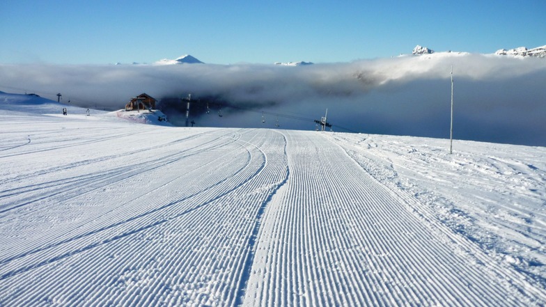
Latest snow reports near Cerro Castor:
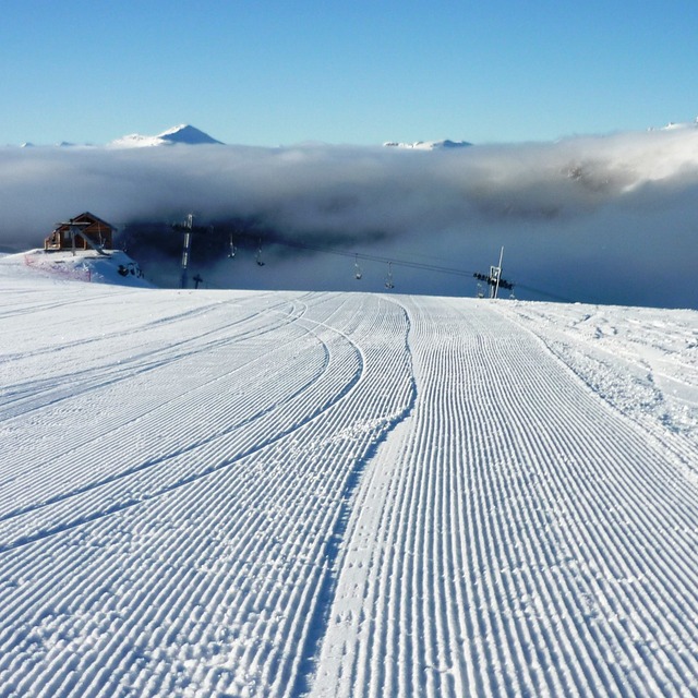
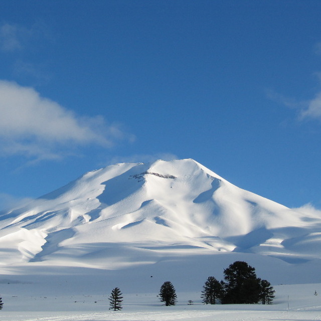
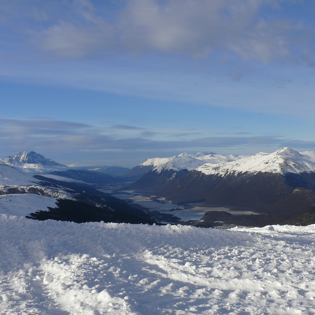
Snow falling in Cerro Castor. from Cerro Castor
| Top snow depth: | — |
|---|---|
| Bottom snow depth: | — |
| Fresh snowfall depth: | 3 cm |
| Last snowfall: | 11 Jun 2026 |
| Snow Alerts | Create Alert |
0.2 | Bluebird Powder days Fresh snow, mostly sunny, light wind. |
|---|---|
0.3 | Powder days Fresh snow, limited sun, any wind. |
0.8 | Bluebird days Average snow, mostly sunny, light wind. |
The above table gives the weather forecast for Cerro Castor at the specific elevation of 194 m. Our sophisticated weather models allow us to provide snow forecasts for the top, middle and bottom ski stations of Cerro Castor. To access the weather forecasts for the other elevations, use the tab navigation above the table. For a wider view of the weather, check out the Weather Map of Argentina.
Click here to read further information on freezing levels and how we forecast our temperatures.
Overall 3.9 Based on 37 votes and 22 reviews
Estuve varios días esquiando en Cerro Castor. Sus pistas son excelentes y la infraestructura de sus medios de elevación, eficiente. Los paradores distribuidos por toda la montaña son comparables, y en casos mejores, a los de los centros de ski de Aspen en USA. Los precios son razonables y el personal del Cerro está siempre atento a las necesidades de los visitantes. Amplia variedad de oferta de equipos en los rentals y un espacio con lockers calefaccionados para dejar los equipo, recién inaugurado, propio de un centro de primer nivel. La escuela de ski tiene precios razonables, lo que me permitió acceder a tomar clases todos los días. Hacía por lo menos cinco años que no visitaba Castor. Lo encontré muy cambiado,y todo para mejor. Se ve claramente el nivel de inversiones realizadas.
Ricardo Ramallo from Argentina writes:
Estuve varios días esquiando en Cerro Castor. Sus pistas son excelentes y la infraestructura de sus medios de elevación, eficiente. Los paradores distribuidos por toda la montaña son comparables, y en casos mejores, a los de los centros de ski de Aspen en USA.
Los precios son razonables y el personal del Cerro está siempre atento a las necesidades de los visitantes.
Amplia variedad de oferta de equipos en los rentals y un espacio con lockers calefaccionados para dejar los equipo, recién inaugurado, propio de un centro de primer nivel.
La escuela de ski tiene precios razonables, lo que me permitió acceder a tomar clases todos los días.
Hacía por lo menos cinco años que no visitaba Castor. Lo encontré muy cambiado,y todo para mejor. Se ve claramente el nivel de inversiones realizadas.

 Nearest