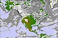
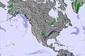
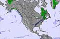
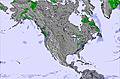
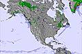
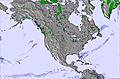
Friday 12 Jun 12pm
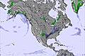
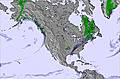
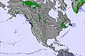
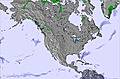
Friday 12 Jun 6pm
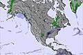
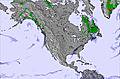
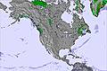
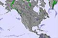
Saturday 13 Jun 12am
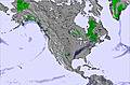
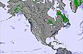
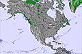
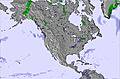
Saturday 13 Jun 6am
Saturday 13 Jun 12pm
Saturday 13 Jun 6pm
Sunday 14 Jun 12am
Sunday 14 Jun 6am
Sunday 14 Jun 12pm
Sunday 14 Jun 6pm
Monday 15 Jun 12am
Monday 15 Jun 6am
Monday 15 Jun 12pm
Monday 15 Jun 6pm
Tuesday 16 Jun 12am
Tuesday 16 Jun 6am
Tuesday 16 Jun 12pm
Tuesday 16 Jun 6pm
Wednesday 17 Jun 12am
Wednesday 17 Jun 6am
Wednesday 17 Jun 12pm
Wednesday 17 Jun 6pm
Thursday 18 Jun 12am
Thursday 18 Jun 6am
Thursday 18 Jun 12pm
Thursday 18 Jun 6pm
Friday 19 Jun 12am
Friday 19 Jun 6am
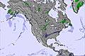

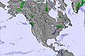
 Nearest
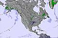
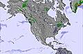