Snowfall Accumulations |
||||
|---|---|---|---|---|
LAST 3 DAYS
|
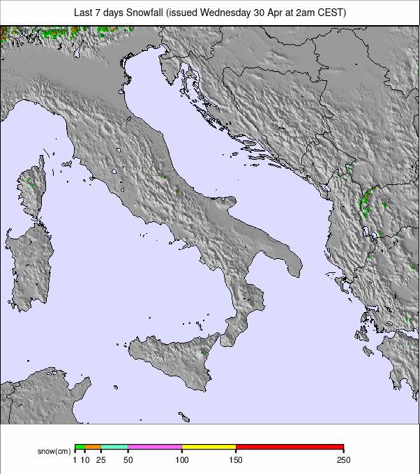
LAST 7 DAYS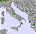
|
NEXT 3 DAYS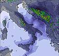
|
NEXT 3 TO 6 DAYS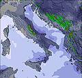
|
NEXT 6 TO 9 DAYSxSign up or loginto access |
Snowfall Accumulations |
||||
|---|---|---|---|---|
LAST 3 DAYS
|
LAST 7 DAYS
|
NEXT 3 DAYS
|
NEXT 3 TO 6 DAYS
|
NEXT 6 TO 9 DAYSxSign up or loginto access |

 Nearest