


View forecast
Kaunertal at 2692 m altitude
Issued by Snow-Forecast.com at: 1 am (local time) / 17 May 2024
Now
Friday 17 | Saturday 18 | Sunday 19 | Monday 20 | Tuesday 21 | Wednesday 22 | Thursday 23 | |||||||||||||||
AM | PM | night | AM | PM | night | AM | PM | night | AM | PM | night | AM | PM | night | AM | PM | night | AM | PM | night | |
light snow | light snow | snow shwrs | some clouds | light rain | snow shwrs | some clouds | rain shwrs | rain shwrs | cloudy | light rain | light rain | light snow | risk thun- der | light snow | light snow | light snow | light snow | light snow | light snow | light snow | |
km/h | |||||||||||||||||||||
Snow map |  |  |  |  |  |  |  | ||||||||||||||
1.0 | 3 | 2.0 | — | — | 2.0 | — | — | — | — | — | — | — | — | 2.0 | — | 2.0 | 1.0 | — | — | 2.0 | |
— | — | — | — | 3 | — | — | 3 | 4 | — | 2.0 | 3 | — | 5 | 3 | — | — | — | — | — | — | |
max°C | -2 | 1 | 0 | 1 | 3 | 1 | 1 | 3 | 3 | 4 | 4 | 2 | 2 | 3 | 2 | 1 | 1 | 0 | -1 | 1 | 1 |
min°C | -2 | 0 | -2 | -1 | 2 | -1 | -1 | 3 | 2 | 2 | 4 | 2 | 1 | 3 | 1 | 1 | 1 | -1 | -1 | 1 | 0 |
-5 | -2 | -5 | -3 | 0 | -1 | -1 | 3 | 0 | 2 | 4 | 0 | 0 | 3 | 0 | 1 | 1 | -1 | -3 | 1 | -3 | |
95 | 83 | 87 | 78 | 77 | 85 | 84 | 84 | 83 | 65 | 84 | 93 | 96 | 88 | 96 | 98 | 99 | 91 | 94 | 93 | 98 | |
2450 | 2750 | 2500 | 2750 | 3000 | 2600 | 2850 | 3050 | 3000 | 3150 | 3150 | 3050 | 2950 | 3150 | 2900 | 2850 | 2800 | 2650 | 2600 | 2850 | 2650 | |
5:37 | — | — | 5:37 | — | — | 5:35 | — | — | 5:35 | — | — | 5:33 | — | — | 5:33 | — | — | 5:31 | — | — | |
— | — | 8:47 | — | — | 8:49 | — | — | 8:51 | — | — | 8:52 | — | — | 8:52 | — | — | 8:53 | — | — | 8:54 | |
Next 0-3 days weather summary:
A light covering of new snow, mostly falling on Fri afternoon. Becoming milder with moderate rain (total 10.0mm) heaviest on Sun night. Freeze-thaw conditions (max 3°C on Sat afternoon, min -2°C on Fri morning). Wind will be generally light.
Next 4-6 days weather summary:
Mild with moderate rain (total 13.0mm) on Tue afternoon, Becoming colder with a light covering of snow, mostly falling on Wed night. Freeze-thaw conditions (max 4°C on Mon morning, min -1°C on Wed night). Wind will be generally light.
Popular Kaunertal Pages
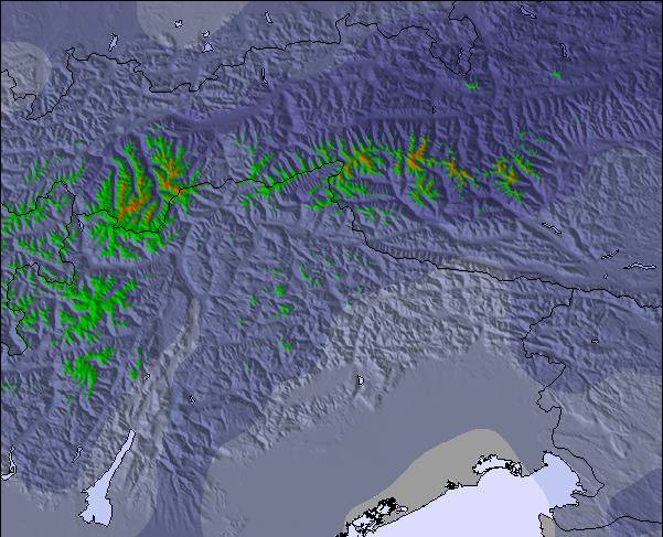
Snow Radar
Submit a reportLatest snow reports near Kaunertal:
48 km away from Kaunertal
3 hours ago
Continuous light snow reported from Zugspitze at 2337 metres elevation one km S of Garmisch-Partenkirchen-Zugspitze but it is probably falling as rain apart from near the top of the ski area from Garmisch-Partenkirchen-Zugspitze
48 km away from Kaunertal
4 hours agoIntermittent moderate snow reported from Zugspitze at 2337 metres elevation one km S of Garmisch-Partenkirchen-Zugspitze but it is probably falling as rain apart from near the top of the ski area from Garmisch-Partenkirchen-Zugspitze
11 km away from Kaunertal
20 hours agoRain reported from Pitztaler Gletscher at 2848 metres elevation only 4 kms SSE of Pitztal Glacier but it is forecast cold enough for snow at higher elevations in the ski area from Pitztal Glacier
Kaunertal Snow Conditions
| Top snow depth: | 350 cm |
|---|---|
| Bottom snow depth: | 340 cm |
| Fresh snowfall depth: | 1.0 cm |
| Last snowfall: | 16 May 2024 |
| Snow Alerts | Create Alert |
Other resorts in Austria are reporting: powder (3) / good piste (3)
Snow-Forecast Partner Offers
Show your business here
Snow History
Week 3 of May has on average:
0.7 | Bluebird Powder days Fresh snow, mostly sunny, light wind. |
|---|---|
2.0 | Powder days Fresh snow, limited sun, any wind. |
0.3 | Bluebird days Average snow, mostly sunny, light wind. |
Kaunertal Forecast Snowfall
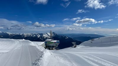
Photos of Kaunertal
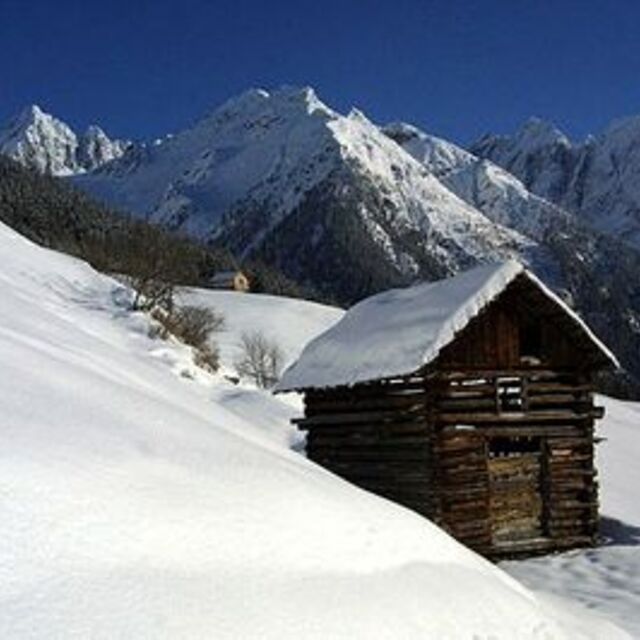
kauner- valley Tyrol by franz
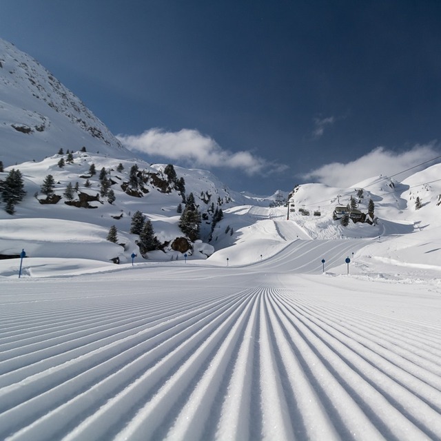
Kaunertal by tourist offical
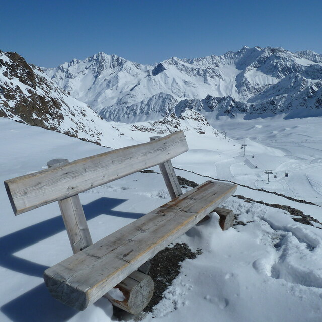
3.108 m by Jacek
Other resorts in Austria are reporting: powder (3) / good piste (3)
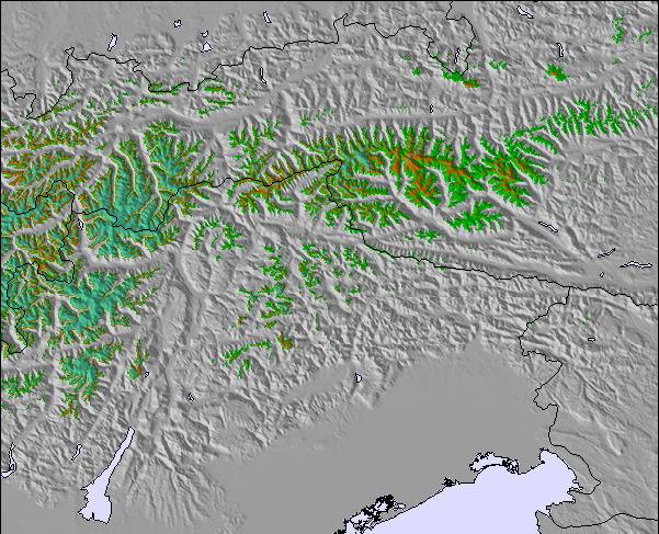
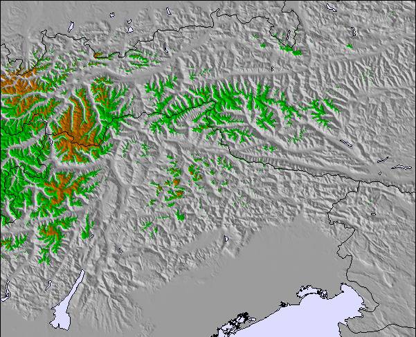
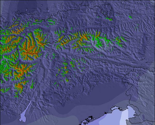
The above table gives the weather forecast for Kaunertal at the specific elevation of 2692 m. Our sophisticated weather models allow us to provide snow forecasts for the top, middle and bottom ski stations of Kaunertal. To access the weather forecasts for the other elevations, use the tab navigation above the table. For a wider view of the weather, check out the Weather Map of Austria.
Click here to read further information on freezing levels and how we forecast our temperatures.
Visitor Reviews of Kaunertal
Overall 3.9 Based on 7 votes and 2 reviews
- Snowsure
- Variety of pistes
- Vote
- Jon+Tom from Ireland writes:
Awesome place, great crowd-free pistes and some off piste action. Drive up would get boring after a week but amazing, especially in avalanche season! Real high mountain feel, go for a pizza at Andreas's in Feichten on way back. Reasonable prices, you can always go to Fendels for a change.
Visitor Reviews of Kaunertal
Jon+Tom from Ireland writes:
Awesome place, great crowd-free pistes and some off piste action. Drive up would get boring after a week but amazing, especially in avalanche season! Real high mountain feel, go for a pizza at Andreas's in Feichten on way back.
Reasonable prices, you can always go to Fendels for a change.
Free Snow-Forecast.com weather widget for your website
The Kaunertal skiing weather widget is available to embed on external websites free of charge. It provides a daily summary of our Kaunertal snow forecast and current weather conditions. Simply go to the feed configuration page and follow the 3 simple steps to grab the custom html code snippet and paste it into your own site. You can choose the snow forecast elevation (summit, mid-mountain or bottom lift) and metric/imperial units for the snow forecast feed to suit your own website…. Click here to get the code.
View detailed snow forecast for Kaunertal at:
snow-forecast.com

 Nearest