


View forecast
Chapelco at 1981 m altitude
Issued by Snow-Forecast.com at: 2 am (local time) / 01 Jun 2024
Now
Saturday 1 | Sunday 2 | Monday 3 | Tuesday 4 | Wednesday 5 | Thursday 6 | Friday 7 | |||||||||||||||
AM | PM | night | AM | PM | night | AM | PM | night | AM | PM | night | AM | PM | night | AM | PM | night | AM | PM | night | |
snow shwrs | light snow | snow shwrs | clear | some clouds | some clouds | cloudy | light snow | light snow | light snow | cloudy | light snow | light snow | light snow | mod. snow | snow shwrs | snow shwrs | mod. snow | light snow | heavy snow | mod. snow | |
km/h | |||||||||||||||||||||
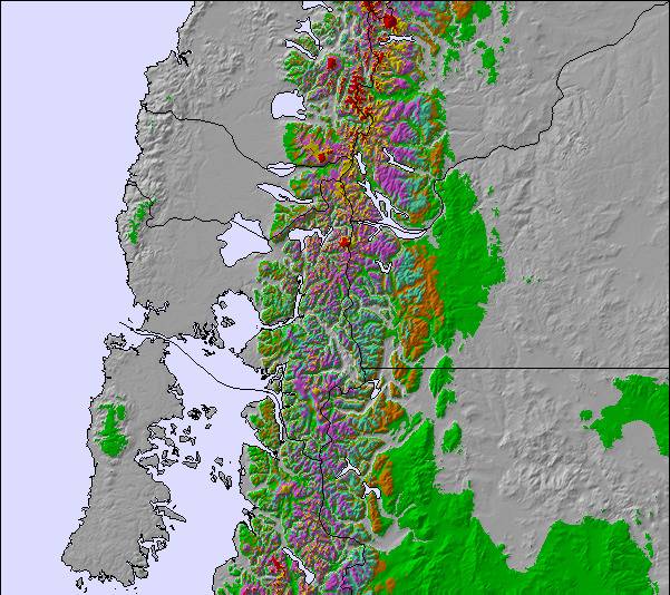
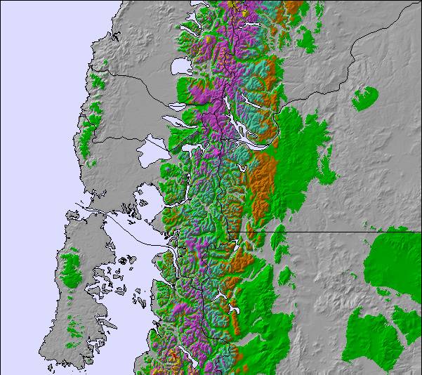
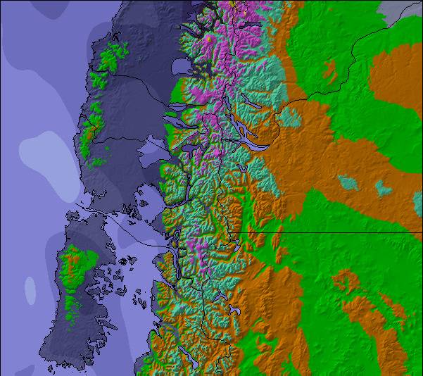
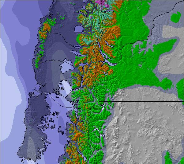
Snow map | 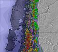 | 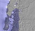 |  | 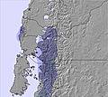 | 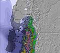 | 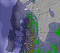 | 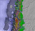 | ||||||||||||||
— | 4 | 6 | — | — | — | — | — | 1.0 | — | — | 2.0 | — | — | 6 | — | 2.0 | 6 | 4 | 12 | 7 | |
— | — | — | — | — | — | — | — | — | — | — | 5 | 1.0 | 1.0 | — | — | — | 6 | — | — | — | |
max°C | -6 | -5 | -6 | -4 | -2 | -1 | -2 | -1 | 0 | 2 | 3 | 2 | 2 | 2 | 1 | 3 | 4 | 2 | 2 | 1 | 1 |
min°C | -6 | -5 | -7 | -4 | -2 | -1 | -2 | -2 | 0 | 1 | 3 | 1 | 1 | 1 | 0 | 2 | 2 | 1 | 2 | 1 | -2 |
-15 | -13 | -13 | -9 | -6 | -6 | -6 | -9 | -7 | -5 | -3 | -6 | -5 | -5 | -6 | -4 | -5 | -6 | -4 | -5 | -9 | |
69 | 92 | 91 | 51 | 51 | 47 | 71 | 88 | 99 | 90 | 85 | 99 | 97 | 75 | 95 | 82 | 80 | 86 | 82 | 99 | 90 | |
750 | 1200 | 900 | 0 | 1450 | 1200 | 850 | 1500 | 2050 | 2300 | 2550 | 2300 | 2400 | 2350 | 2000 | 2250 | 2450 | 2400 | 2350 | 2350 | 1850 | |
8:57 | — | — | 8:59 | — | — | 9:00 | — | — | 9:00 | — | — | 9:00 | — | — | 9:02 | — | — | 9:02 | — | — | |
— | 6:27 | — | — | 6:25 | — | — | 6:25 | — | — | 6:25 | — | — | 6:25 | — | — | 6:24 | — | — | 6:24 | — | |
Next 0-3 days weather summary:
A moderate fall of snow, heaviest on Sat night. Temperatures will be below freezing (max 0°C on Mon night, min -7°C on Sat night). Winds decreasing (fresh winds from the W on Sat morning, light winds from the SSE by Sat night).
Next 4-6 days weather summary:
A moderate fall of snow, heaviest on Thu night. Turning milder with moderate rain (total 13.0mm), heaviest on Thu night. Freeze-thaw conditions (max 4°C on Thu afternoon, min 0°C on Wed night). Mainly strong winds.
Popular Chapelco Pages
Snow Radar
Latest snow reports near Chapelco:
Chapelco Snow Conditions
| Top snow depth: | 0 cm |
|---|---|
| Bottom snow depth: | 0 cm |
| Fresh snowfall depth: | 1.0 cm |
| Last snowfall: | 31 May 2024 |
| Snow Alerts | Create Alert |
Other resorts in Argentina are reporting: powder (0) / good piste (0)
Snow-Forecast Partner Offers
Ski rental and school
Snow History
Week 1 of June has on average:
0.4 | Bluebird Powder days Fresh snow, mostly sunny, light wind. |
|---|---|
0.9 | Powder days Fresh snow, limited sun, any wind. |
0.6 | Bluebird days Average snow, mostly sunny, light wind. |
Chapelco Forecast Snowfall
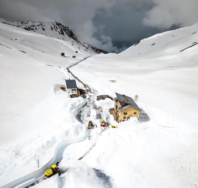
Chapelco Resort Webcam
- 2pm yesterday

- 2 days ago

- 3 days ago

- 4 days ago

- 5 days ago

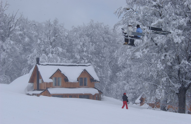
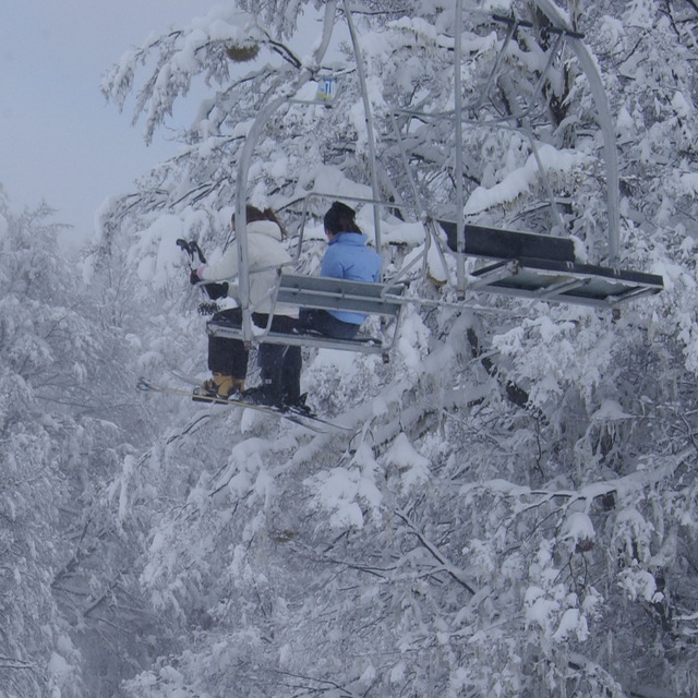
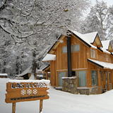
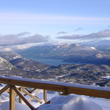
Photos of Chapelco
Other resorts in Argentina are reporting: powder (0) / good piste (0)
The above table gives the weather forecast for Chapelco at the specific elevation of 1981 m. Our sophisticated weather models allow us to provide snow forecasts for the top, middle and bottom ski stations of Chapelco. To access the weather forecasts for the other elevations, use the tab navigation above the table. For a wider view of the weather, check out the Weather Map of Argentina.
Click here to read further information on freezing levels and how we forecast our temperatures.
Visitor Reviews of Chapelco
Overall 4.0 Based on 63 votes and 77 reviews
- Snowsure
- Variety of pistes
- Vote
- Colo from Argentina writes:
Es una vergüenza la falta de orden en el estacionamiento. Nadie q organice el lugar hace q se formen tapones. Para colmo llevan un DJ q hacen q el lugar explote de público, peri ante la falta de lugares permiten q los autos estacionen en el camino y se forman enoooorme colas para salir. Lo mismo las colas de 45 min que padecer en los medios. No piensan en el turista q viene 5 o 6 días a disfrutar ya q nos pone de malhumor la falta de organización.
Visitor Reviews of Chapelco
Colo from Argentina writes:
Es una vergüenza la falta de orden en el estacionamiento. Nadie q organice el lugar hace q se formen tapones. Para colmo llevan un DJ q hacen q el lugar explote de público, peri ante la falta de lugares permiten q los autos estacionen en el camino y se forman enoooorme colas para salir. Lo mismo las colas de 45 min que padecer en los medios. No piensan en el turista q viene 5 o 6 días a disfrutar ya q nos pone de malhumor la falta de organización.
Free Snow-Forecast.com weather widget for your website
The Chapelco skiing weather widget is available to embed on external websites free of charge. It provides a daily summary of our Chapelco snow forecast and current weather conditions. Simply go to the feed configuration page and follow the 3 simple steps to grab the custom html code snippet and paste it into your own site. You can choose the snow forecast elevation (summit, mid-mountain or bottom lift) and metric/imperial units for the snow forecast feed to suit your own website…. Click here to get the code.
View detailed snow forecast for Chapelco at:
snow-forecast.com

 Nearest