


View forecast
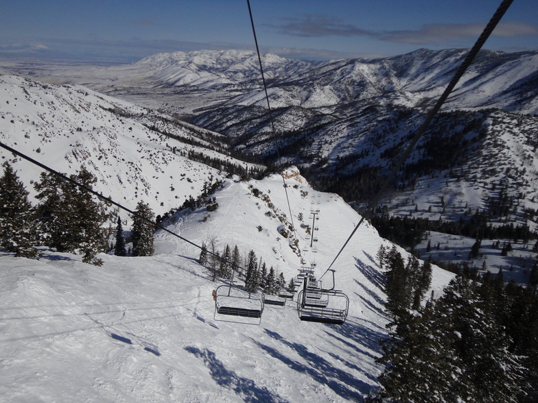
Powder Mountain at 2514 m altitude
Issued by Snow-Forecast.com at: 5 pm (local time) / 18 May 2024
Now
Sat 18 | Sunday 19 | Monday 20 | Tuesday 21 | Wednesday 22 | Thursday 23 | Friday 24 | ||||||||||||||
PM | night | AM | PM | night | AM | PM | night | AM | PM | night | AM | PM | night | AM | PM | night | AM | PM | night | |
clear | rain shwrs | clear | clear | light snow | light snow | light rain | mod. snow | mod. snow | light snow | some clouds | some clouds | cloudy | light snow | cloudy | some clouds | some clouds | cloudy | some clouds | some clouds | |
km/h | ||||||||||||||||||||
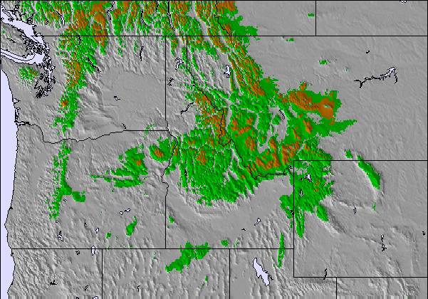
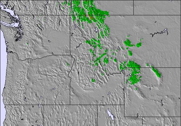
Snow map |  |  |  | 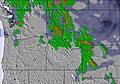 | 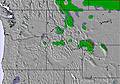 | 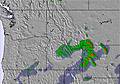 | 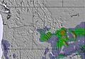 | |||||||||||||
— | — | — | — | — | — | — | 6 | 6 | 1.0 | — | — | — | 2.0 | — | — | — | — | — | — | |
— | 2.0 | — | — | — | — | 3 | — | — | — | — | — | — | — | — | — | — | — | — | — | |
max°C | 11 | 10 | 7 | 6 | 4 | 2 | 3 | 1 | -2 | 1 | 2 | 5 | 10 | 8 | 0 | 1 | -1 | 0 | 2 | 3 |
min°C | 10 | 7 | 6 | 6 | 0 | 0 | 2 | -3 | -2 | 0 | 1 | 4 | 8 | -1 | -1 | 1 | -2 | -1 | 1 | 2 |
7 | 3 | 2 | 2 | 0 | 0 | 0 | -7 | -7 | -5 | -2 | -2 | 3 | -7 | -6 | -4 | -4 | -5 | -3 | -2 | |
32 | 43 | 51 | 53 | 51 | 77 | 75 | 91 | 98 | 89 | 52 | 47 | 37 | 70 | 53 | 66 | 63 | 61 | 69 | 55 | |
3700 | 3950 | 3450 | 3250 | 3200 | 2600 | 2750 | 2350 | 2100 | 2550 | 3050 | 3150 | 3450 | 3350 | 2350 | 2550 | 2250 | 2350 | 2650 | 3050 | |
— | — | 6:03 | — | — | 6:03 | — | — | 6:01 | — | — | 6:01 | — | — | 6:00 | — | — | 6:00 | — | — | |
8:42 | — | — | 8:43 | — | — | 8:44 | — | — | 8:45 | — | — | 8:45 | — | — | 8:46 | — | — | 8:47 | — | |
Next 0-3 days weather summary:
Mild at first with light rain (total 5.0mm) on Mon afternoon followed by colder weather and light fall of snow, heaviest on Tue morning. Freeze-thaw conditions (max 11°C on Sat afternoon, min -3°C on Mon night). Winds decreasing (fresh winds from the SW on Sat night, calm by Mon morning).
Next 4-6 days weather summary:
A dusting of new snow. Freeze-thaw conditions (max 10°C on Wed afternoon, min -2°C on Thu night). Winds decreasing (strong winds from the SW on Wed afternoon, calm by Thu night).
Popular Powder Mountain Pages
Snow Radar
Latest snow reports near Powder Mountain:
Powder Mountain Snow Conditions
| Top snow depth: | 0 cm |
|---|---|
| Bottom snow depth: | 0 cm |
| Fresh snowfall depth: | — |
| Last snowfall: | 8 May 2024 |
| Snow Alerts | Create Alert |
Other resorts in USA - Utah are reporting: powder (0) / good piste (0)
Snow-Forecast Partner Offers
Show your business here
Snow History
Week 3 of May has on average:
0.1 | Bluebird Powder days Fresh snow, mostly sunny, light wind. |
|---|---|
0.3 | Powder days Fresh snow, limited sun, any wind. |
0.0 | Bluebird days Average snow, mostly sunny, light wind. |

Powder Mountain Forecast Snowfall
Photos of Powder Mountain
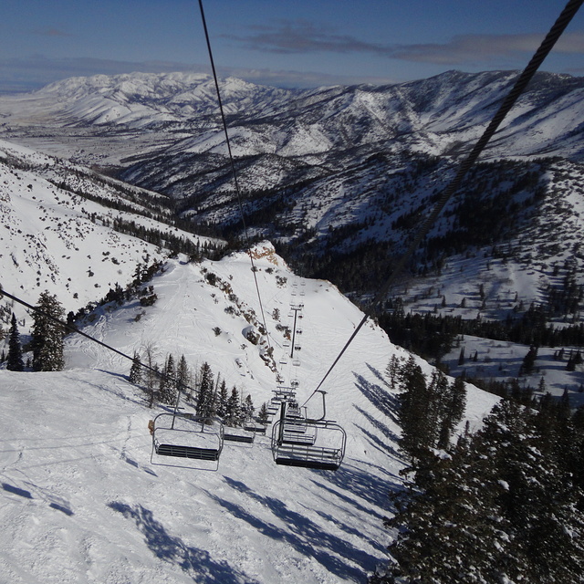
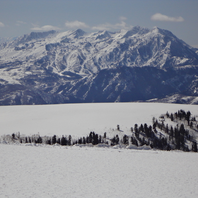
Powder Mountain by Tom
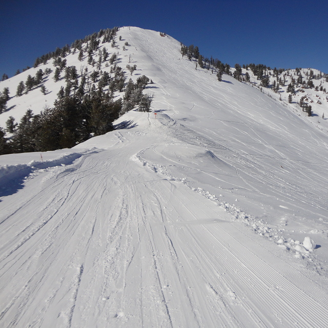
James Peak by Tom
Snow Bain From Sunrise Ridge by Tom
Other resorts in USA - Utah are reporting: powder (0) / good piste (0)
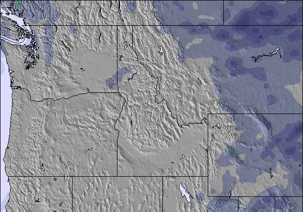
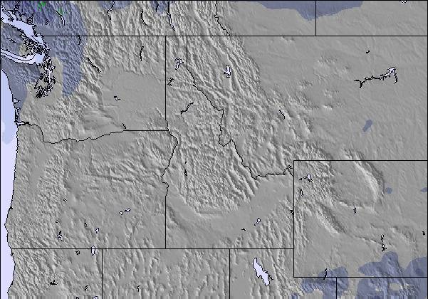
The above table gives the weather forecast for Powder Mountain at the specific elevation of 2514 m. Our sophisticated weather models allow us to provide snow forecasts for the top, middle and bottom ski stations of Powder Mountain. To access the weather forecasts for the other elevations, use the tab navigation above the table. For a wider view of the weather, check out the Weather Map of United States.
Click here to read further information on freezing levels and how we forecast our temperatures.
Visitor Reviews of Powder Mountain
Overall 2.7 Based on 4 votes and 5 reviews
- Snowsure
- Variety of pistes
- Vote
- Angelos from United States writes:
I skied Powder Mountain 2 years ago and I was happy with my experience then. I came back on the opening weekend of 22-23 and things were quite different. There is good snow coverage for early season, but only 4 lifts were open on Saturday. Today, Sunday, one of the lifts, Sunrise tow lift is inexplicably closed, although it served the nicest runs/snow in the mountain. Paradise has not opened yet, but the snow is abundant there, I know this is the case because I skied it and skinned up (kind of against the rules, but I felt the ski area operators haven’t been honest with the skiers who pay 120$ to ski this mountain. It’s all low angle down there with no avalanche danger whatsoever). Disappointing. There are several ways of categorizing ski areas; one is on the way the lifts operate (or do not operate) on a day that the ski hill is not particularly busy. Unfortunately Powder Mountain joined the likes of Mt Bachelor on that list of “cynically” run ski areas. Too bad.
Visitor Reviews of Powder Mountain
Angelos from United States writes:
I skied Powder Mountain 2 years ago and I was happy with my experience then.
I came back on the opening weekend of 22-23 and things were quite different. There is good snow coverage for early season, but only 4 lifts were open on Saturday. Today, Sunday, one of the lifts, Sunrise tow lift is inexplicably closed, although it served the nicest runs/snow in the mountain. Paradise has not opened yet, but the snow is abundant there, I know this is the case because I skied it and skinned up (kind of against the rules, but I felt the ski area operators haven’t been honest with the skiers who pay 120$ to ski this mountain. It’s all low angle down there with no avalanche danger whatsoever).
Disappointing. There are several ways of categorizing ski areas; one is on the way the lifts operate (or do not operate) on a day that the ski hill is not particularly busy. Unfortunately Powder Mountain joined the likes of Mt Bachelor on that list of “cynically” run ski areas. Too bad.
Free Snow-Forecast.com weather widget for your website
The Powder Mountain skiing weather widget is available to embed on external websites free of charge. It provides a daily summary of our Powder Mountain snow forecast and current weather conditions. Simply go to the feed configuration page and follow the 3 simple steps to grab the custom html code snippet and paste it into your own site. You can choose the snow forecast elevation (summit, mid-mountain or bottom lift) and metric/imperial units for the snow forecast feed to suit your own website…. Click here to get the code.
View detailed snow forecast for Powder Mountain at:
snow-forecast.com

 Nearest