


View forecast
Narvik at 564 m altitude
Issued by Snow-Forecast.com at: 7 am (local time) / 19 May 2024
Now
Sunday 19 | Monday 20 | Tuesday 21 | Wednesday 22 | Thursday 23 | Friday 24 | Saturday 25 | |||||||||||||||
AM | PM | night | AM | PM | night | AM | PM | night | AM | PM | night | AM | PM | night | AM | PM | night | AM | PM | night | |
light snow | light snow | mod. snow | light snow | light snow | light snow | some clouds | some clouds | some clouds | some clouds | some clouds | clear | cloudy | some clouds | some clouds | some clouds | cloudy | cloudy | light rain | light rain | cloudy | |
km/h | |||||||||||||||||||||
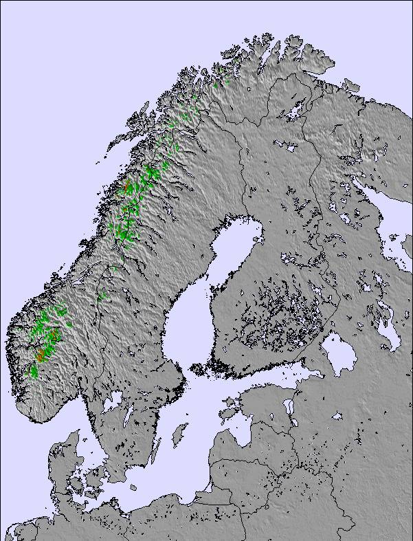
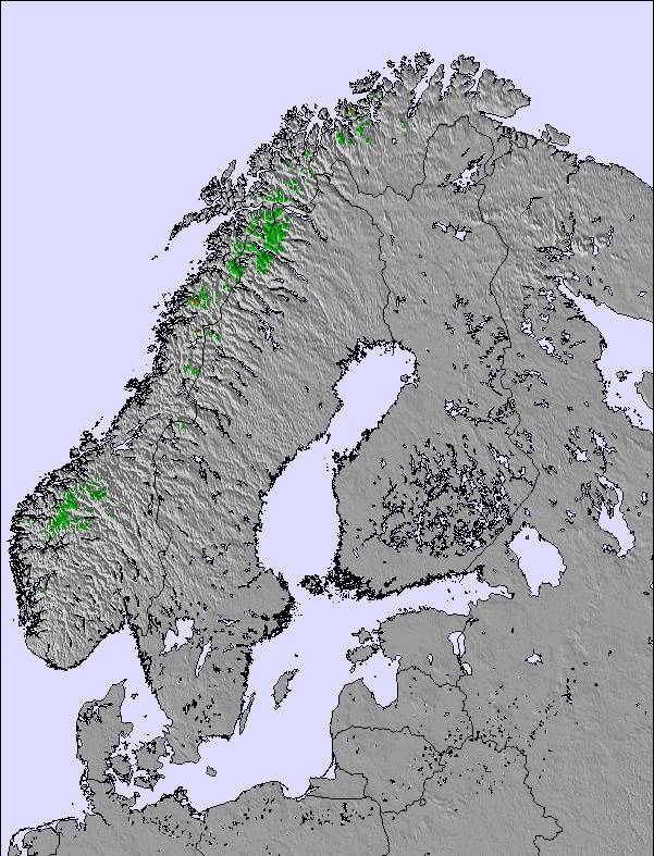
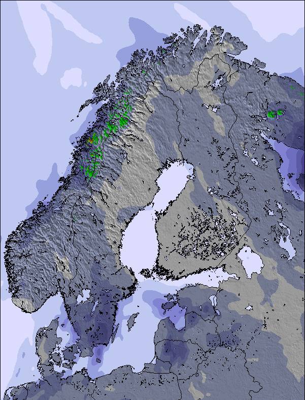
Snow map |  |  |  | 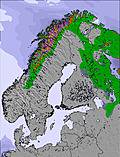 | 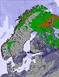 | 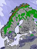 | 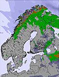 | ||||||||||||||
2.0 | 2.0 | 6 | 2.0 | 3 | 1.0 | — | — | — | — | — | — | — | — | — | — | — | — | — | — | — | |
— | — | — | — | — | — | — | — | — | — | — | — | — | — | — | — | — | — | 3 | 1.0 | — | |
max°C | 1 | 1 | -2 | -3 | -2 | -2 | -2 | 0 | 1 | 4 | 7 | 10 | 14 | 16 | 15 | 15 | 16 | 11 | 7 | 8 | 8 |
min°C | 0 | 0 | -4 | -3 | -2 | -5 | -3 | -1 | -1 | 3 | 6 | 8 | 12 | 16 | 13 | 13 | 14 | 7 | 7 | 8 | 7 |
-5 | -5 | -10 | -9 | -8 | -5 | -3 | -1 | -1 | 2 | 5 | 6 | 11 | 16 | 12 | 12 | 13 | 5 | 6 | 7 | 7 | |
99 | 98 | 86 | 89 | 89 | 83 | 72 | 59 | 61 | 82 | 80 | 61 | 62 | 51 | 55 | 57 | 68 | 89 | 98 | 96 | 96 | |
650 | 500 | 0 | 200 | 250 | 0 | 250 | 550 | 0 | 2050 | 2450 | 2750 | 2750 | 2800 | 2900 | 2750 | 2700 | 2500 | 2400 | 2300 | 2200 | |
1:54 | — | — | 1:46 | — | — | 12:00 | — | — | 1:23 | — | — | 1:06 | — | — | 12:00 | — | — | 12:00 | — | — | |
— | — | 11:46 | — | — | 11:57 | 12:00 | — | — | 12:09 | — | — | 12:27 | — | — | 12:00 | — | — | 12:00 | — | — | |
Next 0-3 days weather summary:
A moderate fall of snow, heaviest on Sun night. Freeze-thaw conditions (max 1°C on Sun morning, min -5°C on Mon night). Wind will be generally light.
Next 4-6 days weather summary:
Mostly dry. Very mild (max 16°C on Thu afternoon, min 3°C on Wed morning). Wind will be generally light.
Popular Narvik Pages
Snow Radar
Submit a reportLatest snow reports near Narvik:
27 km away from Narvik
3 hours ago
Rain and snow or hail reported from Katterjåkk - Riksgränsen at 516 metres elevation only 2 kms ESE of Riksgränsen but it is probably falling as rain at the bottom of the ski area from Riksgränsen
27 km away from Narvik
4 hours agoContinuous light rain reported from Katterjåkk - Riksgränsen at 516 metres elevation only 2 kms ESE of Riksgränsen but it is forecast cold enough for snow at higher elevations in the ski area from Riksgränsen
27 km away from Narvik
6 hours agoContinuous light rain reported from Katterjåkk - Riksgränsen at 516 metres elevation only 2 kms ESE of Riksgränsen but it is forecast cold enough for snow at the ski area from Riksgränsen
Narvik Snow Conditions
| Top snow depth: | 0 cm |
|---|---|
| Bottom snow depth: | 0 cm |
| Fresh snowfall depth: | 2 cm |
| Last snowfall: | 18 May 2024 |
| Snow Alerts | Create Alert |
Other resorts in Norway are reporting: powder (0) / good piste (0)
Snow-Forecast Partner Offers
Show your business here
Snow History
Week 3 of May has on average:
0.1 | Bluebird Powder days Fresh snow, mostly sunny, light wind. |
|---|---|
0.2 | Powder days Fresh snow, limited sun, any wind. |
0.4 | Bluebird days Average snow, mostly sunny, light wind. |
Narvik Forecast Snowfall
Photos of Narvik
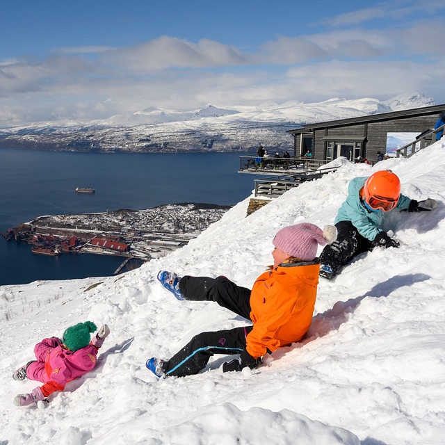
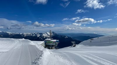
Fun in the snow by tourist offical
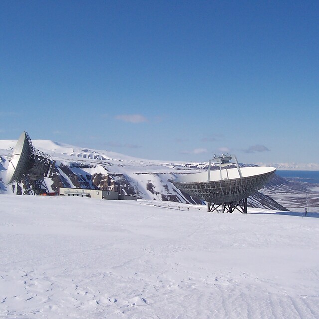
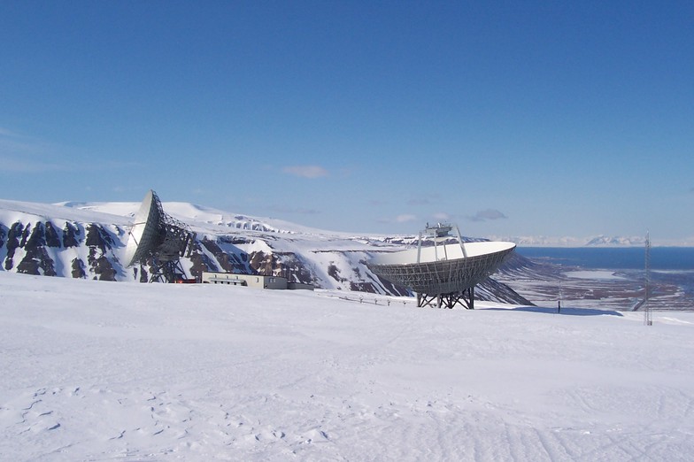
satelite dish, spitsbergen 80 degrees north by wobbie
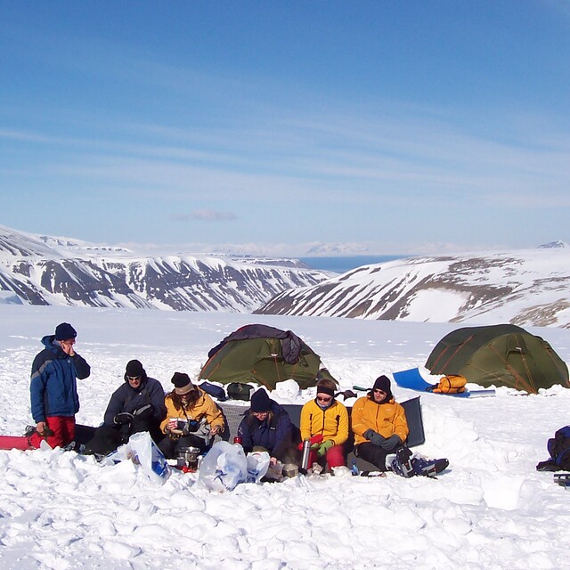
breakfast, spitsbergen 80 degrees north by wobbie
Other resorts in Norway are reporting: powder (0) / good piste (0)
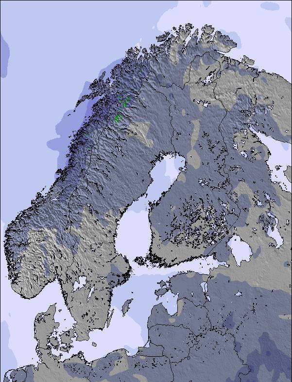
The above table gives the weather forecast for Narvik at the specific elevation of 564 m. Our sophisticated weather models allow us to provide snow forecasts for the top, middle and bottom ski stations of Narvik. To access the weather forecasts for the other elevations, use the tab navigation above the table. For a wider view of the weather, check out the Weather Map of Norway.
Click here to read further information on freezing levels and how we forecast our temperatures.
Visitor Reviews of Narvik
Overall 3.0 Based on 2 votes and 1 review
- Snowsure
- Variety of pistes
- Vote
- Will Mowlam from Norway writes:
Great off-piste and tree runs, plus hiking to powder for the advanced people. Those looking for lots of long runs may be a little disappointed. Probably ok for beginners. Park is nice but not huge - a few funboxes and rails plus a kicker and table top. Tons of natural features everywhere though. No pipe. Advise you to bring a head torch as it gets dark early and is floodlit but not in all areas. There are many tree runs in powder in semi-dark conditions! Also, everyone should ideally have a pair of clear goggle lenses due to low light conditions - and in the week (Jan/Feb 2013) lifts open in the evening. Daytime at weekend. When deciding to travel, check the official website for opening dates of the gondola to the top, as otherwise there is only one T bar from the bottom!
Visitor Reviews of Narvik
Will Mowlam from Norway writes:
Great off-piste and tree runs, plus hiking to powder for the advanced people. Those looking for lots of long runs may be a little disappointed. Probably ok for beginners. Park is nice but not huge - a few funboxes and rails plus a kicker and table top. Tons of natural features everywhere though. No pipe.
Advise you to bring a head torch as it gets dark early and is floodlit but not in all areas. There are many tree runs in powder in semi-dark conditions!
Also, everyone should ideally have a pair of clear goggle lenses due to low light conditions - and in the week (Jan/Feb 2013) lifts open in the evening. Daytime at weekend.
When deciding to travel, check the official website for opening dates of the gondola to the top, as otherwise there is only one T bar from the bottom!
Free Snow-Forecast.com weather widget for your website
The Narvik skiing weather widget is available to embed on external websites free of charge. It provides a daily summary of our Narvik snow forecast and current weather conditions. Simply go to the feed configuration page and follow the 3 simple steps to grab the custom html code snippet and paste it into your own site. You can choose the snow forecast elevation (summit, mid-mountain or bottom lift) and metric/imperial units for the snow forecast feed to suit your own website…. Click here to get the code.
View detailed snow forecast for Narvik at:
snow-forecast.com

 Nearest