
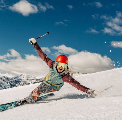
Ski Lessons by SkiBro
BOOK NOW
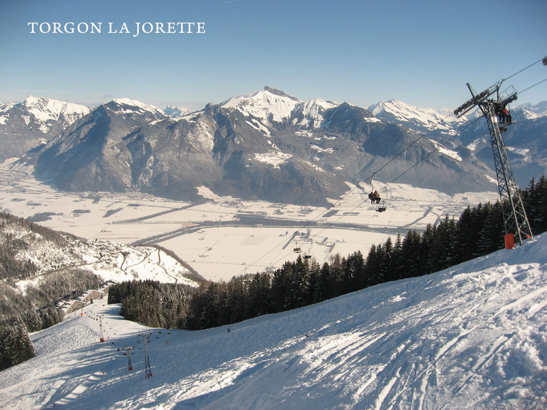
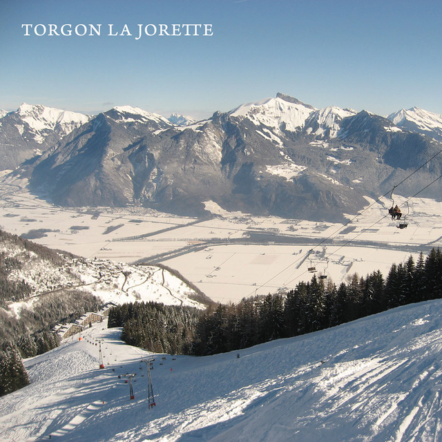
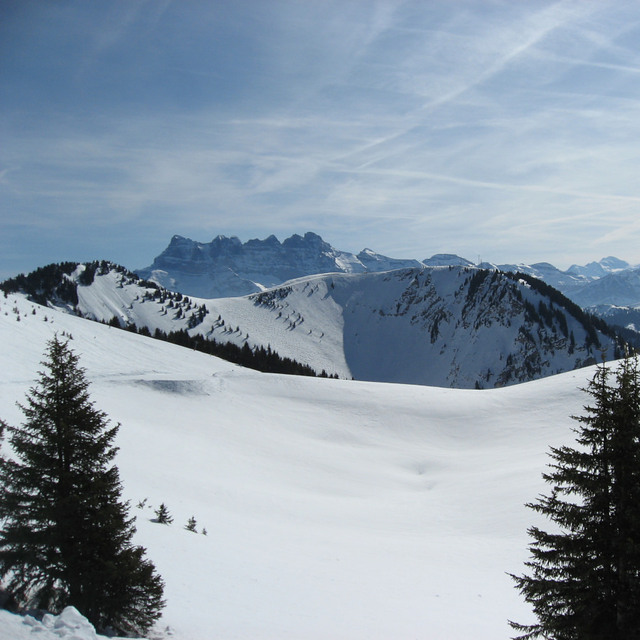
Ski lessons in Torgon-Les Portes du Soleil
Book now

Torgon-Les Portes du Soleil Weather (Next 3 days): The snow forecast for Torgon-Les Portes du Soleil is: A dusting of snow giving way to moderate rain (total 10.0mm) heaviest on Fri night. Freeze-thaw conditions (max 8°C on Fri afternoon, min -3°C on Wed night). Wind will be generally light.
Torgon-Les Portes du Soleil Weather (Days 4-6): Mostly dry. Very mild (max 14°C on Tue morning, min 3°C on Sat night). Wind will be generally light.
| Resort | Snow Depth | Temp. (°C) | Wind (km/h) | Weather | ||
|---|---|---|---|---|---|---|
| Top Lift: | -10 | |||||
| Middle Lift: | -5 | |||||
| Bottom Lift: | 0 |
Latest snow reports near Torgon-Les Portes du Soleil:
Snow is falling in Flaine. No wind today. Feeling cold here today. Only a dusting of new snow. There are no lifts running. Pistes are closed. There is fresh snow off-piste. from Flaine
Resort closed for the season. See you this summer! from La Giettaz en Aravis

Wed 24 | Thursday 25 | Friday 26 | Saturday 27 | Sunday 28 | Monday 29 | Tuesday 30 | ||||||||||||||
PM | night | AM | PM | night | AM | PM | night | AM | PM | night | AM | PM | night | AM | PM | night | AM | PM | night | |
light snow | snow shwrs | snow shwrs | some clouds | some clouds | cloudy | light rain | rain shwrs | some clouds | cloudy | cloudy | cloudy | cloudy | cloudy | some clouds | cloudy | some clouds | some clouds | light rain | rain shwrs | |
km/h | ||||||||||||||||||||
Snow map |  |  |  |  |  |  |  | |||||||||||||
— | 2.0 | — | — | — | — | — | — | — | — | — | — | — | — | — | — | — | — | — | — | |
— | — | — | — | — | — | 4 | 6 | — | — | — | — | — | — | — | — | — | — | 1.0 | 1.0 | |
max°C | 3 | 0 | 1 | 5 | 2 | 7 | 8 | 3 | 7 | 10 | 5 | 8 | 11 | 7 | 11 | 13 | 10 | 14 | 16 | 10 |
min°C | 2 | -3 | -3 | 4 | -1 | 2 | 4 | -1 | 2 | 9 | 3 | 5 | 10 | 5 | 6 | 12 | 6 | 8 | 14 | 6 |
0 | -3 | -3 | 3 | -3 | 1 | 3 | -4 | 0 | 8 | 0 | 3 | 10 | 3 | 6 | 12 | 4 | 7 | 14 | 5 | |
67 | 96 | 69 | 54 | 74 | 55 | 98 | 78 | 62 | 53 | 72 | 71 | 65 | 80 | 58 | 73 | 76 | 58 | 57 | 77 | |
1550 | 900 | 1300 | 1850 | 1400 | 2000 | 1900 | 1500 | 2300 | 2600 | 2500 | 2500 | 2850 | 2750 | 2800 | 2850 | 3050 | 3050 | 2950 | 2900 | |
— | — | 6:28 | — | — | 6:26 | — | — | 6:24 | — | — | 6:22 | — | — | 6:20 | — | — | 6:20 | — | — | |
— | 8:31 | — | — | 8:32 | — | — | 8:35 | — | — | 8:36 | — | — | 8:37 | — | — | 8:38 | — | — | 8:39 | |
A dusting of snow giving way to moderate rain (total 10.0mm) heaviest on Fri night. Freeze-thaw conditions (max 8°C on Fri afternoon, min -3°C on Wed night). Wind will be generally light.
Mostly dry. Very mild (max 14°C on Tue morning, min 3°C on Sat night). Wind will be generally light.
Latest snow reports near Torgon-Les Portes du Soleil:
Snow is falling in Flaine. No wind today. Feeling cold here today. Only a dusting of new snow. There are no lifts running. Pistes are closed. There is fresh snow off-piste. from Flaine
Resort closed for the season. See you this summer! from La Giettaz en Aravis
| Top snow depth: | — |
|---|---|
| Bottom snow depth: | — |
| Fresh snowfall depth: | 7 cm |
| Last snowfall: | 23 Apr 2024 |
| Snow Alerts | Create Alert |
0.0 | Bluebird Powder days Fresh snow, mostly sunny, light wind. |
|---|---|
0.2 | Powder days Fresh snow, limited sun, any wind. |
0.0 | Bluebird days Average snow, mostly sunny, light wind. |
The above table gives the weather forecast for Torgon-Les Portes du Soleil at the specific elevation of 1277 m. Our sophisticated weather models allow us to provide snow forecasts for the top, middle and bottom ski stations of Torgon-Les Portes du Soleil. To access the weather forecasts for the other elevations, use the tab navigation above the table. For a wider view of the weather, check out the Weather Map of Switzerland.
Click here to read further information on freezing levels and how we forecast our temperatures.
Overall 3.8 Based on 10 votes and 9 reviews
Just came back from New Year ski trip in Torgon (Torgon-Les Portes du Soleil). Nice snow and pistes, wonderful weather, good accommodation in a large flat with a swimming pool in the house Les Crêtes. Our Kid had a very exciting week with the Swiss Ski & Snowboard School Torgon and came back with a medal for his great improvements. He was very proud. I have already booked my ski trip for next winter in Torgon again.
Stuart Robinson from United Kingdom writes:
Just came back from New Year ski trip in Torgon (Torgon-Les Portes du Soleil). Nice snow and pistes, wonderful weather, good accommodation in a large flat with a swimming pool in the house Les Crêtes.
Our Kid had a very exciting week with the Swiss Ski & Snowboard School Torgon and came back with a medal for his great improvements. He was very proud.
I have already booked my ski trip for next winter in Torgon again.
Read 8 more reviews of Torgon-Les Portes du Soleil or submit your own
The Torgon-Les Portes du Soleil skiing weather widget is available to embed on external websites free of charge. It provides a daily summary of our Torgon-Les Portes du Soleil snow forecast and current weather conditions. Simply go to the feed configuration page and follow the 3 simple steps to grab the custom html code snippet and paste it into your own site. You can choose the snow forecast elevation (summit, mid-mountain or bottom lift) and metric/imperial units for the snow forecast feed to suit your own website…. Click here to get the code.
View detailed snow forecast for Torgon-Les Portes du Soleil at:
snow-forecast.com


 Nearest