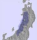
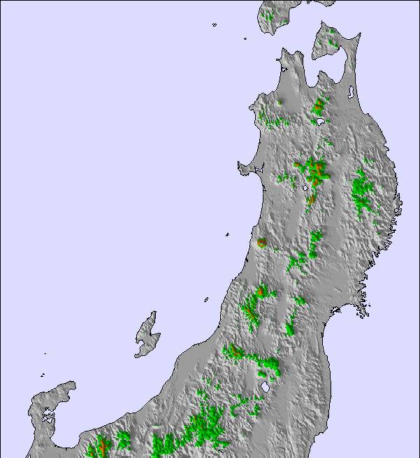
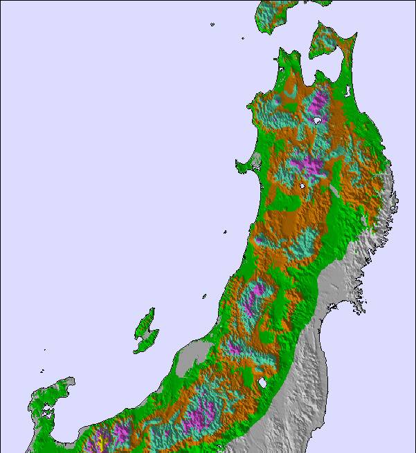
The above table gives the weather forecast for Kagura at the specific elevation of 1416 m. Our sophisticated weather models allow us to provide snow forecasts for the top, middle and bottom ski stations of Kagura. To access the weather forecasts for the other elevations, use the tab navigation above the table. For a wider view of the weather, check out the Weather Map of Japan.
Click here to read further information on freezing levels and how we forecast our temperatures.
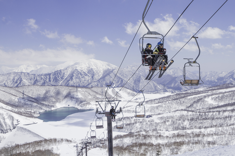
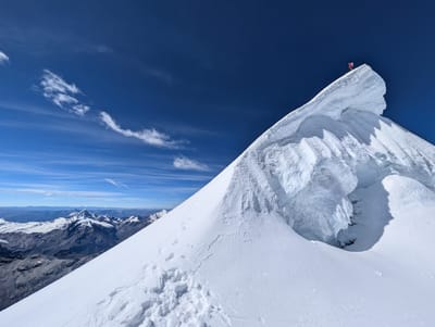
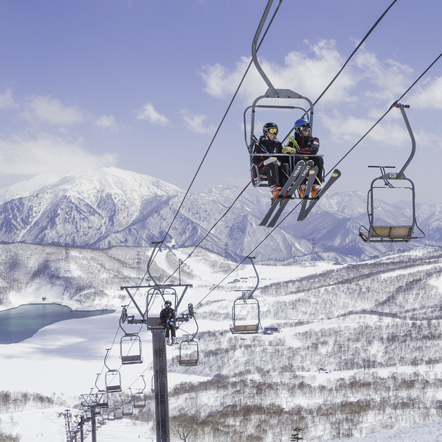
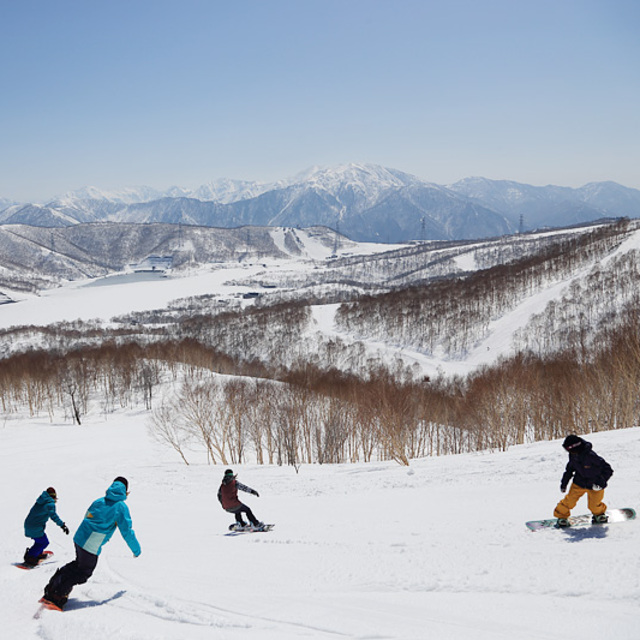
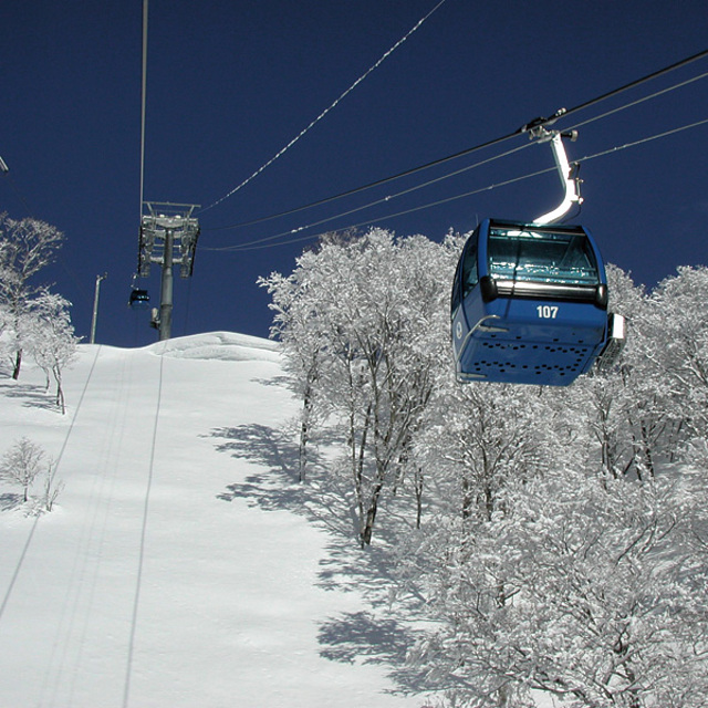
Kagura is one of the best kept secret in the Japanese ski world. It offers a wide variety of terrain and its huge annual snow fall makes it one of the safest bets when it comes to finding powder. If it hasn't snowed for a few days, you can easily venture into the side country to find the hidden patches. While it is not a super steep hill, the variety of terrain makes up for it as you never get bored exploring its vast directly accessible or hikable area. It's connection to Tashiro and Naeba, via one of the longest gondola in the world, broadens the possibilities even further. It's really hard to get bored at Kagura.
Kagura is one of the best kept secret in the Japanese ski world. It offers a wide variety of terrain and its huge annual snow fall makes it one of the safest bets when it comes to finding powder. If it hasn't snowed for a few days, you can easily venture into the side country to find the hidden patches. While it is not a super steep hill, the variety of terrain makes up for it as you never get bored exploring its vast directly accessible or hikable area. It's connection to Tashiro and Naeba, via one of the longest gondola in the world, broadens the possibilities even further. It's really hard to get bored at Kagura.
Free Snow-Forecast.com weather widget for your website
Embed the Kagura weather widget on your site for free. It provides a weekly snapshot of snow and rain conditions across all elevations. Follow the two quick steps to grab your custom code and paste it into your site. Choose between metric or imperial units. Click here to get the code.


 Nearest