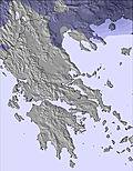
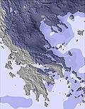
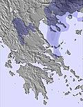
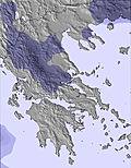
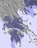
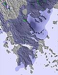
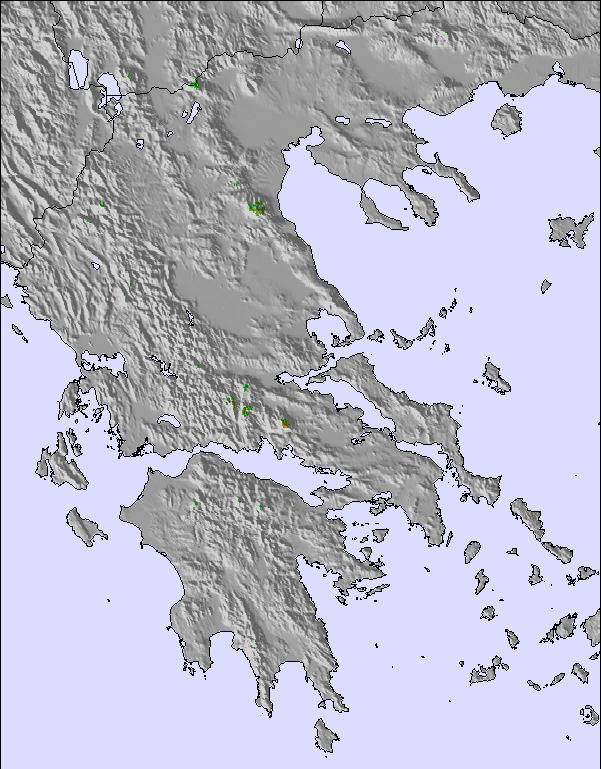
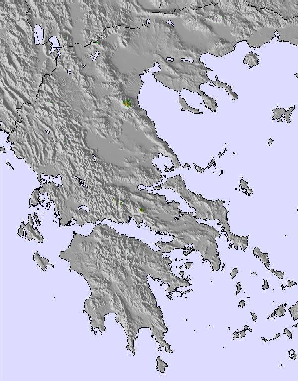
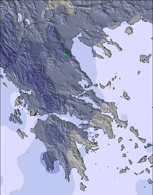
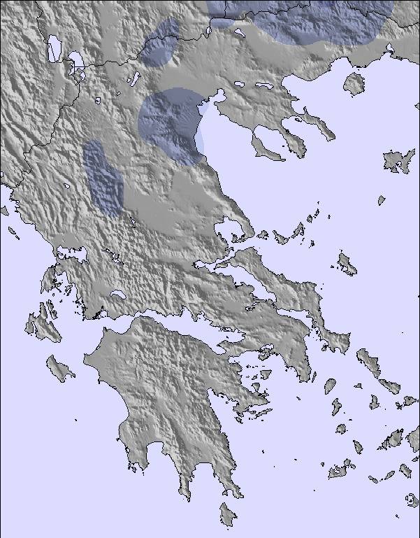
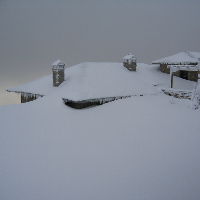
The above table gives the weather forecast for Pilion at the specific elevation of 1332 m. Our sophisticated weather models allow us to provide snow forecasts for the top, middle and bottom ski stations of Pilion. To access the weather forecasts for the other elevations, use the tab navigation above the table. For a wider view of the weather, check out the Weather Map of Greece.
Click here to read further information on freezing levels and how we forecast our temperatures.
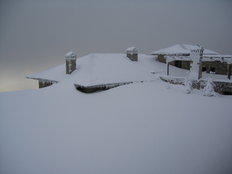
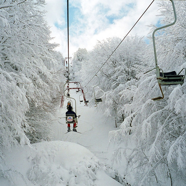
This little ski resort is truly amazing, both in terms of the scenery and in terms of the utter incompetence of its management to maintain a climate of civility and order in the lift lines during weekends. I skied there today (March 3, 2012) and I must admit that the usual indifference of the lift attendants towards those who cut in front of skiers waiting in lift lines reached new heights. Given that the lift that was servicing the youth races taking place there broke down, all the kids in the resort started pretending they were athletes and in classic Greek tradition attempted en mass to cut at the front of the lift lines. It was obvious that the kids attending the lifts were letting their friends cut in front of everyone else. Unfortunately, the ski resort management need to decide what kind of business they want to run.
This little ski resort is truly amazing, both in terms of the scenery and in terms of the utter incompetence of its management to maintain a climate of civility and order in the lift lines during weekends. I skied there today (March 3, 2012) and I must admit that the usual indifference of the lift attendants towards those who cut in front of skiers waiting in lift lines reached new heights. Given that the lift that was servicing the youth races taking place there broke down, all the kids in the resort started pretending they were athletes and in classic Greek tradition attempted en mass to cut at the front of the lift lines. It was obvious that the kids attending the lifts were letting their friends cut in front of everyone else. Unfortunately, the ski resort management need to decide what kind of business they want to run.
Free Snow-Forecast.com weather widget for your website
Embed the Pilion weather widget on your site for free. It provides a weekly snapshot of snow and rain conditions across all elevations. Follow the two quick steps to grab your custom code and paste it into your site. Choose between metric or imperial units. Click here to get the code.


 Nearest