Photo credit: Razvan Bahnarel
Visiting Parang
Helpful resort information to assist planning your trip.
- Opens—
- Closes—
- Accommodation—
- Restaurants | Bars— | —
- Nearest Airport —
- Nearest Train Station Petrosani
- Tourist Office Website—
- Tourist Office Phone—
- Avalanche information:
Parang Features
The terrain at Parang includes:
- Halfpipes—
- Terrain Parks—
- X-Country15.8 km
- Ski Hire—
What's it like at Parang resort?
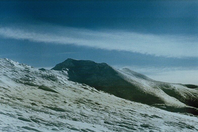
The Parang Mountains form a large plateau of 7000 square kilometres. The Parang resort is located on this plateau and offers, mainly, intermediate and advanced skiing over a respectable 612m of vertical. We are aware that the nearest train station to Parang is at Petrosani.
Latest photos from Parang. View all photos at the Parang gallery page.
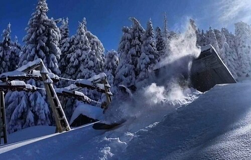 Photo credit: Razvan Bahnarel
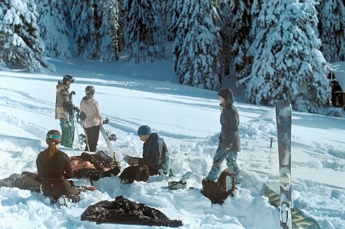 Photo credit: Razvan Bahnarel
 Photo credit: Razvan Bahnarel
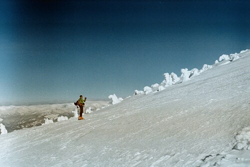 Photo credit: Razvan Bahnarel
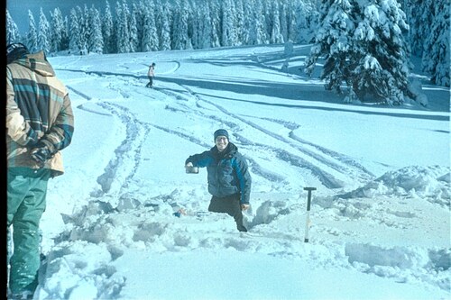 Photo credit: Razvan Bahnarel
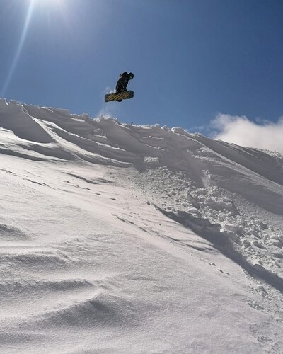 Photo credit: Razvan Bahnarel
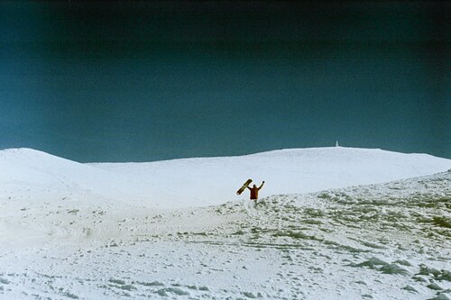 Photo credit: Razvan Bahnarel
Explore Parang Location Map
Interactive Parang trail map and piste map. View the piste and trails as well as the surrounding terrain and mountain contours for backcountry action. Find and compare nearby resorts by clicking on the resort markers.

When's the snowiest month to visit Parang?
JanuaryAverage: 3.3 snow days per week
The snowiest week in Parang is week 4 of January. There are typically 3.3 snowy days during this week with 14 cm of snowfall. Check out the Parang Snow History graphs below.

Resorts close to Parang
Discover ski resorts near Parang. Click below to view there ski resort guides.
 StrajaLast snow: 1.0 cm Sat 02 May
 Lifts: 7
 Pistes: 723 km away
- RancaLast snow: 2.0 cm Sat 02 MayLifts: 6Pistes: —35 km away
- Vidra TransalpinaLast snow: 1.0 cm Sat 02 MayLifts: 4Pistes: 746 km away
- SureanuLast snow: 1.0 cm Wed 13 MayLifts: 3Pistes: —52 km away
- Păltiniş-Arena PlatosLast snow: 1.0 cm Tue 12 MayLifts: 3Pistes: 276 km away
 Nearest