
Ski Lessons by SkiBro
BOOK NOW
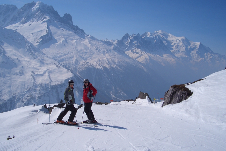
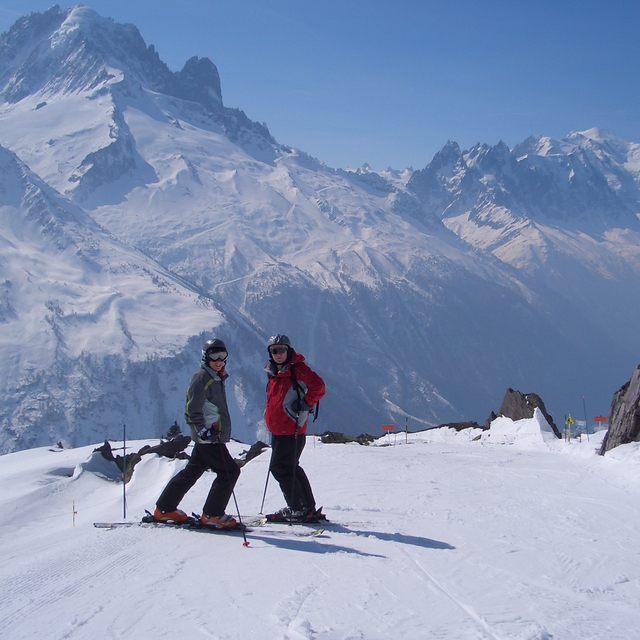
Ski lessons in Le Tour
Book now

Le Tour Weather (Next 3 days): The snow forecast for Le Tour is: A dusting of snow on Fri afternoon. Freezing level rising with drizzle on Sat night. Freeze-thaw conditions (max 4°C on Sat afternoon, min -3°C on Thu night). Wind will be generally light.
Le Tour Weather (Days 4-6): Light rain (total 3.0mm), mostly falling on Tue afternoon. Mild temperatures (max 8°C on Mon afternoon, min 3°C on Sun night). Wind will be generally light.
| Resort | Snow Depth | Temp. (°C) | Wind (km/h) | Weather | ||
|---|---|---|---|---|---|---|
| Top Lift: | -5 | |||||
| Middle Lift: | -2 | |||||
| Bottom Lift: | 2 |
Latest snow reports near Le Tour:
Resort closed for the season. See you this summer! from La Giettaz en Aravis
Rain showers reported from Aigle at 479 metres elevation 7 kms WSW of Leysin but it is forecast cold enough for snow at the ski area from Leysin
Light rain reported from Leysin at 1356 metres elevation only 2 kms NE of Leysin but it is forecast cold enough for snow at the ski area from Leysin

Thu 25 | Friday 26 | Saturday 27 | Sunday 28 | Monday 29 | Tuesday 30 | Wednesday 1 | ||||||||||||||
PM | night | AM | PM | night | AM | PM | night | AM | PM | night | AM | PM | night | AM | PM | night | AM | PM | night | |
clear | some clouds | cloudy | light snow | snow shwrs | cloudy | cloudy | light rain | cloudy | cloudy | some clouds | some clouds | some clouds | some clouds | cloudy | light rain | light rain | some clouds | light rain | rain shwrs | |
km/h | ||||||||||||||||||||
Snow map |  |  |  |  |  |  |  | |||||||||||||
— | — | — | 1.0 | 1.0 | — | — | — | — | — | — | — | — | — | — | — | — | — | — | — | |
— | — | — | — | — | — | — | 1.0 | — | — | — | — | — | — | — | 2.0 | 1.0 | — | 1.0 | 1.0 | |
max°C | 0 | -1 | 1 | 2 | 0 | 2 | 4 | 2 | 4 | 6 | 4 | 6 | 8 | 6 | 7 | 7 | 6 | 7 | 10 | 8 |
min°C | -2 | -3 | -1 | 1 | -1 | 1 | 3 | 2 | 3 | 5 | 3 | 3 | 8 | 4 | 5 | 7 | 4 | 5 | 10 | 6 |
-4 | -7 | -4 | -2 | -4 | -2 | 0 | -2 | 0 | 3 | 0 | 0 | 7 | 1 | 2 | 5 | 2 | 3 | 10 | 5 | |
65 | 70 | 70 | 89 | 77 | 66 | 65 | 80 | 78 | 79 | 72 | 66 | 71 | 83 | 74 | 72 | 76 | 63 | 60 | 69 | |
1850 | 1400 | 2000 | 2050 | 1600 | 2300 | 2450 | 2400 | 2600 | 2750 | 2700 | 2850 | 2950 | 3050 | 3000 | 2950 | 2900 | 2900 | 3050 | 3000 | |
— | — | 6:26 | — | — | 6:24 | — | — | 6:22 | — | — | 6:20 | — | — | 6:20 | — | — | 6:18 | — | — | |
— | 8:31 | — | — | 8:34 | — | — | 8:35 | — | — | 8:36 | — | — | 8:37 | — | — | 8:38 | — | — | 8:39 | |
A dusting of snow on Fri afternoon. Freezing level rising with drizzle on Sat night. Freeze-thaw conditions (max 4°C on Sat afternoon, min -3°C on Thu night). Wind will be generally light.
Light rain (total 3.0mm), mostly falling on Tue afternoon. Mild temperatures (max 8°C on Mon afternoon, min 3°C on Sun night). Wind will be generally light.
Latest snow reports near Le Tour:
Resort closed for the season. See you this summer! from La Giettaz en Aravis
Rain showers reported from Aigle at 479 metres elevation 7 kms WSW of Leysin but it is forecast cold enough for snow at the ski area from Leysin
Light rain reported from Leysin at 1356 metres elevation only 2 kms NE of Leysin but it is forecast cold enough for snow at the ski area from Leysin
| Top snow depth: | — |
|---|---|
| Bottom snow depth: | — |
| Fresh snowfall depth: | 8 cm |
| Last snowfall: | 24 Apr 2024 |
| Snow Alerts | Create Alert |
0.1 | Bluebird Powder days Fresh snow, mostly sunny, light wind. |
|---|---|
0.9 | Powder days Fresh snow, limited sun, any wind. |
0.0 | Bluebird days Average snow, mostly sunny, light wind. |
The above table gives the weather forecast for Le Tour at the specific elevation of 1868 m. Our sophisticated weather models allow us to provide snow forecasts for the top, middle and bottom ski stations of Le Tour. To access the weather forecasts for the other elevations, use the tab navigation above the table. For a wider view of the weather, check out the Weather Map of France.
Click here to read further information on freezing levels and how we forecast our temperatures.
Overall 3.2 Based on 3 votes and 2 reviews
Le Tour. Feb 2012. POW, WOW...a great place for the family, long open runs mainly in the easy red which is great as our 5 year old, having spent the morning at ski school on the best nursery slope in the valley, can spend the afternoon on the hill with the family. Our 11 year old is now grabbing some air on the great natural pipes...and dad loves the off-piste at full speed. Accom is limited but great value...omelets are great at the Olympic. Truely a great little resort (can get cold in a blow). Booked again for 3 weeks in Jan 13. And best of all only a quick skip down to Grand Montet etc... Forest runs down to Vallorcein in POW are simply beautiful.
Grey on a Tray from United Kingdom writes:
Le Tour. Feb 2012. POW, WOW...a great place for the family, long open runs mainly in the easy red which is great as our 5 year old, having spent the morning at ski school on the best nursery slope in the valley, can spend the afternoon on the hill with the family. Our 11 year old is now grabbing some air on the great natural pipes...and dad loves the off-piste at full speed. Accom is limited but great value...omelets are great at the Olympic. Truely a great little resort (can get cold in a blow). Booked again for 3 weeks in Jan 13.
And best of all only a quick skip down to Grand Montet etc...
Forest runs down to Vallorcein in POW are simply beautiful.
The Le Tour skiing weather widget is available to embed on external websites free of charge. It provides a daily summary of our Le Tour snow forecast and current weather conditions. Simply go to the feed configuration page and follow the 3 simple steps to grab the custom html code snippet and paste it into your own site. You can choose the snow forecast elevation (summit, mid-mountain or bottom lift) and metric/imperial units for the snow forecast feed to suit your own website…. Click here to get the code.
View detailed snow forecast for Le Tour at:
snow-forecast.com


 Nearest