


View forecast
Kimberley at 1231 m altitude
Issued by Snow-Forecast.com at: 11 am (local time) / 25 Apr 2024
Now
Thursday 25 | Friday 26 | Saturday 27 | Sunday 28 | Monday 29 | Tuesday 30 | Wednesday 1 | |||||||||||||||
AM | PM | night | AM | PM | night | AM | PM | night | AM | PM | night | AM | PM | night | AM | PM | night | AM | PM | night | |
rain shwrs | rain shwrs | mod. rain | heavy rain | light rain | light rain | light rain | rain shwrs | light rain | light rain | light rain | light snow | light snow | light rain | light snow | light rain | rain shwrs | some clouds | light rain | light rain | some clouds | |
km/h | |||||||||||||||||||||
Snow map | 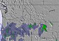 | 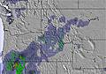 | 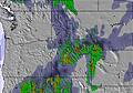 | 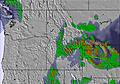 |  |  |  | ||||||||||||||
— | — | — | — | — | — | — | — | — | — | — | — | 1.0 | — | — | — | — | — | — | — | — | |
1.0 | 2.0 | 6 | 11 | 2.0 | 1.0 | 1.0 | 2.0 | 2.0 | 1.0 | 2.0 | — | 3 | 2.0 | — | 1.0 | 1.0 | — | 1.0 | 2.0 | — | |
max°C | 8 | 10 | 5 | 3 | 7 | 4 | 8 | 10 | 5 | 6 | 8 | 3 | 4 | 5 | 1 | 5 | 7 | 1 | 5 | 8 | 2 |
min°C | 5 | 10 | 3 | 3 | 5 | 2 | 5 | 10 | 3 | 4 | 7 | 1 | 2 | 4 | -1 | 2 | 7 | -2 | 2 | 7 | 1 |
4 | 9 | 3 | 3 | 5 | 2 | 5 | 10 | 1 | 2 | 5 | 0 | 1 | 3 | -3 | 2 | 5 | -4 | 1 | 6 | 1 | |
76 | 55 | 83 | 100 | 96 | 88 | 86 | 61 | 91 | 86 | 61 | 89 | 96 | 69 | 88 | 75 | 50 | 85 | 73 | 51 | 68 | |
1950 | 2350 | 2100 | 1800 | 2000 | 1950 | 2000 | 2350 | 1900 | 1900 | 2150 | 1550 | 1550 | 1800 | 1300 | 1550 | 1950 | 1150 | 1550 | 2000 | 1600 | |
6:30 | — | — | 6:28 | — | — | 6:26 | — | — | 6:24 | — | — | 6:22 | — | — | 6:20 | — | — | 6:20 | — | — | |
— | 8:52 | — | — | 8:54 | — | — | 8:55 | — | — | 8:58 | — | — | 8:59 | — | — | — | 9:00 | — | — | 9:01 | |
Next 0-3 days weather summary:
Heavy rain (total 28.0mm), heaviest during Fri morning. Very mild (max 10°C on Thu afternoon, min 2°C on Fri night). Wind will be generally light.
Next 4-6 days weather summary:
A dusting of snow giving way to moderate rain (total 10.0mm) heaviest on Mon morning. Freeze-thaw conditions (max 8°C on Sun afternoon, min -2°C on Tue night). Wind will be generally light.
Popular Kimberley Pages
Snow Radar
Latest snow reports near Kimberley:
Kimberley Snow Conditions
| Top snow depth: | 0 cm |
|---|---|
| Bottom snow depth: | 0 cm |
| Fresh snowfall depth: | — |
| Last snowfall: | 20 Apr 2024 |
| Snow Alerts | Create Alert |
Other resorts in Canada - BC are reporting: powder (0) / good piste (0)
Snow-Forecast Partner Offers
Show your business here
Snow History
Week 4 of April has on average:
0.0 | Bluebird Powder days Fresh snow, mostly sunny, light wind. |
|---|---|
0.1 | Powder days Fresh snow, limited sun, any wind. |
0.0 | Bluebird days Average snow, mostly sunny, light wind. |

Kimberley Forecast Snowfall


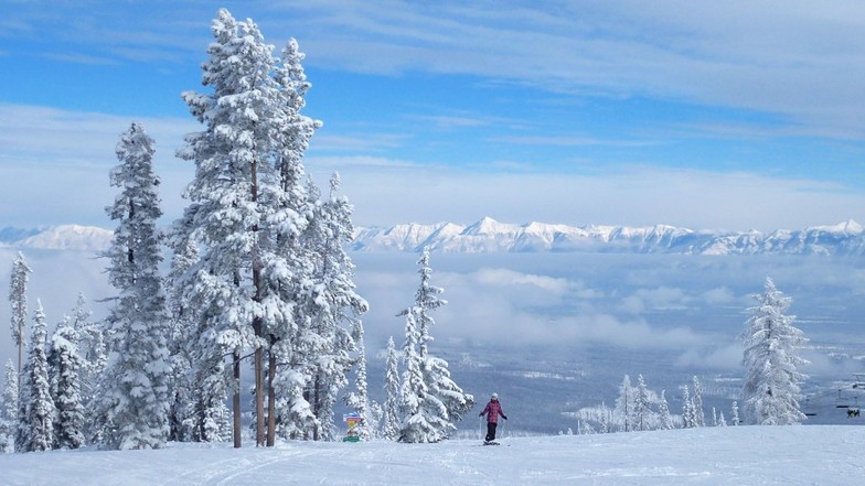
Photos of Kimberley
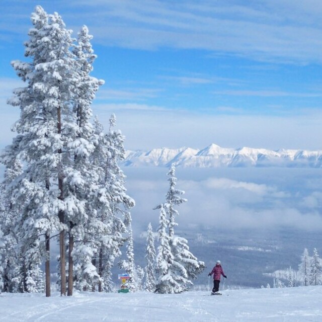
Another Day in Paradise. by RFW
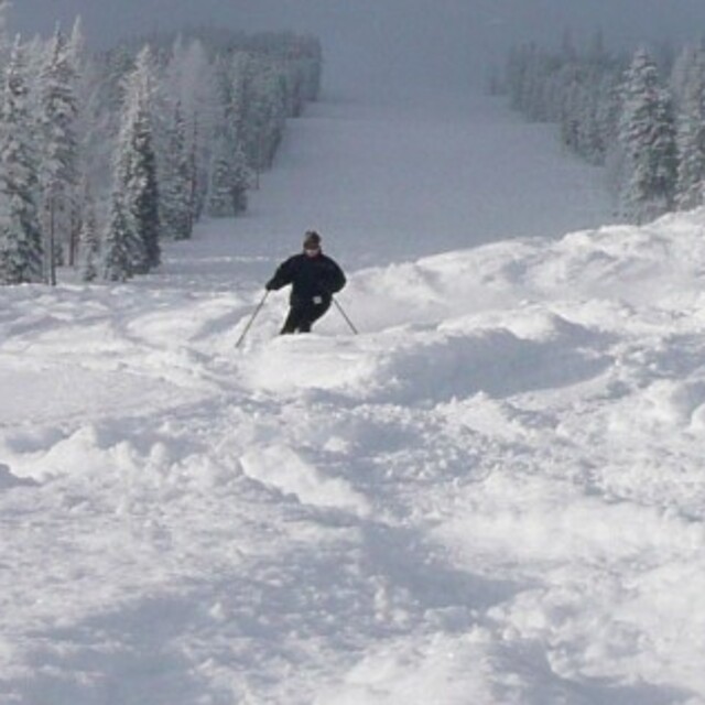
Where is everyone? by RFW
Kimberley
Other resorts in Canada - BC are reporting: powder (0) / good piste (0)
The above table gives the weather forecast for Kimberley at the specific elevation of 1231 m. Our sophisticated weather models allow us to provide snow forecasts for the top, middle and bottom ski stations of Kimberley. To access the weather forecasts for the other elevations, use the tab navigation above the table. For a wider view of the weather, check out the Weather Map of Canada.
Click here to read further information on freezing levels and how we forecast our temperatures.
Visitor Reviews of Kimberley
Overall 3.9 Based on 14 votes and 11 reviews
- Snowsure
- Variety of pistes
- Vote
- Ben from Canada writes:
2015/16 season has been great so far. Early season dumps, followed by light snow on a regular basis has resulted in amazing piste conditions. Powder days about once or twice a week have made for happy powder hounds. Friendly staff and friendly guests make for an amazing experience on the hill.
Visitor Reviews of Kimberley
Ben from Canada writes:
2015/16 season has been great so far. Early season dumps, followed by light snow on a regular basis has resulted in amazing piste conditions. Powder days about once or twice a week have made for happy powder hounds.
Friendly staff and friendly guests make for an amazing experience on the hill.
Free Snow-Forecast.com weather widget for your website
The Kimberley skiing weather widget is available to embed on external websites free of charge. It provides a daily summary of our Kimberley snow forecast and current weather conditions. Simply go to the feed configuration page and follow the 3 simple steps to grab the custom html code snippet and paste it into your own site. You can choose the snow forecast elevation (summit, mid-mountain or bottom lift) and metric/imperial units for the snow forecast feed to suit your own website…. Click here to get the code.
View detailed snow forecast for Kimberley at:
snow-forecast.com

 Nearest