


View forecast
Chestnut Mountain at 172 m altitude
Issued by Snow-Forecast.com at: 6 pm (local time) / 24 Apr 2024
Now
Wed 24 | Thursday 25 | Friday 26 | Saturday 27 | Sunday 28 | Monday 29 | Tuesday 30 | ||||||||||||||
PM | night | AM | PM | night | AM | PM | night | AM | PM | night | AM | PM | night | AM | PM | night | AM | PM | night | |
clear | some clouds | clear | clear | some clouds | mod. rain | light rain | risk thun- der | light rain | risk thun- der | heavy rain | light rain | mod. rain | light rain | cloudy | cloudy | some clouds | some clouds | light rain | rain shwrs | |
km/h | ||||||||||||||||||||
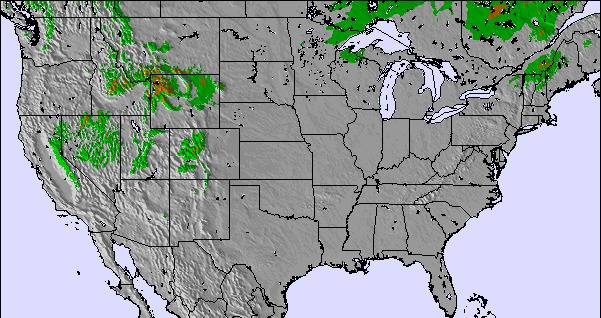
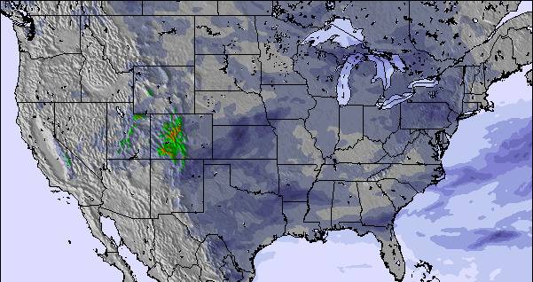
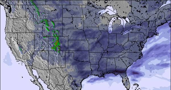
Snow map | 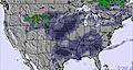 | 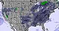 | 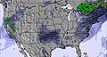 | 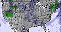 | 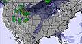 | 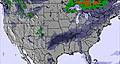 | 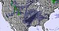 | |||||||||||||
— | — | — | — | — | — | — | — | — | — | — | — | — | — | — | — | — | — | — | — | |
— | — | — | — | — | 6 | 3 | 5 | 1.0 | 2.0 | 18 | 2.0 | 6 | 5 | — | — | — | — | 2.0 | 6 | |
max°C | 12 | 6 | 13 | 15 | 8 | 9 | 11 | 18 | 20 | 22 | 19 | 20 | 21 | 18 | 12 | 13 | 12 | 20 | 22 | 16 |
min°C | 10 | 2 | 8 | 12 | 8 | 8 | 9 | 14 | 19 | 21 | 17 | 19 | 19 | 13 | 11 | 13 | 8 | 15 | 21 | 14 |
9 | -1 | 6 | 10 | 5 | 4 | 6 | 12 | 18 | 21 | 17 | 18 | 18 | 11 | 8 | 11 | 6 | 14 | 21 | 13 | |
38 | 74 | 52 | 40 | 65 | 86 | 95 | 92 | 88 | 81 | 96 | 88 | 85 | 88 | 84 | 76 | 75 | 69 | 64 | 91 | |
1350 | 1800 | 2050 | 2250 | 3100 | 3350 | 3450 | 3450 | 3700 | 3750 | 3250 | 3750 | 3600 | 3400 | 3450 | 3250 | 3300 | 2950 | 3250 | 3300 | |
— | — | 6:03 | — | — | 6:01 | — | — | 6:01 | — | — | 5:58 | — | — | 5:58 | — | — | 5:56 | — | — | |
7:53 | — | — | 7:54 | — | — | 7:55 | — | — | 7:57 | — | — | 7:58 | — | — | 7:59 | — | — | 8:00 | — | |
Next 0-3 days weather summary:
Moderate rain (total 15.0mm), heaviest on Fri morning. Warm (max 20°C on Sat morning, min 2°C on Wed night). Winds increasing (light winds from the ENE on Wed afternoon, fresh winds from the SSW by Sat morning).
Next 4-6 days weather summary:
Heavy rain (total 33.0mm), heaviest during Sat night. Warm (max 22°C on Sat afternoon, min 8°C on Mon night). Winds increasing (light winds from the SSW on Sat night, fresh winds from the S by Sun afternoon).
Popular Chestnut Mountain Pages
Snow Radar
Latest snow reports near Chestnut Mountain:
Chestnut Mountain Snow Conditions
| Top snow depth: | — |
|---|---|
| Bottom snow depth: | — |
| Fresh snowfall depth: | — |
| Last snowfall: | 3 Apr 2024 |
| Snow Alerts | Create Alert |
Other resorts in USA - Illinois are reporting: powder (0) / good piste (0)
Snow-Forecast Partner Offers
Show your business here
Snow History
Week 4 of April has on average:
0.0 | Bluebird Powder days Fresh snow, mostly sunny, light wind. |
|---|---|
0.0 | Powder days Fresh snow, limited sun, any wind. |
0.0 | Bluebird days Average snow, mostly sunny, light wind. |

Chestnut Mountain Forecast Snowfall
Other resorts in USA - Illinois are reporting: powder (0) / good piste (0)
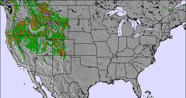
The above table gives the weather forecast for Chestnut Mountain at the specific elevation of 172 m. Our sophisticated weather models allow us to provide snow forecasts for the top, middle and bottom ski stations of Chestnut Mountain. To access the weather forecasts for the other elevations, use the tab navigation above the table. For a wider view of the weather, check out the Weather Map of United States.
Click here to read further information on freezing levels and how we forecast our temperatures.
Visitor Reviews of Chestnut Mountain
- Juan from Spain writes:
I was at Chestnut Mountain just once. It was the only resort I had close enough from work (Lena, IL). I ski there last Dec. 2nd 2008, and got the early season special "the date is the price" so I ski for $2 (cheapest I ever had). First thing I can say is that the views of the Mississipi river are just amazing. With a nice ski rental service and good lifts you can enjoy of the resort with no complain. The runs are short but, in some of the cases, real black ones. So even though it is a little resort, the well prepared runs have 100% snow making and lights. I could say it is a nice place to stop by if you are in the area, you'll get surprised.
Visitor Reviews of Chestnut Mountain
Juan from Spain writes:
I was at Chestnut Mountain just once. It was the only resort I had close enough from work (Lena, IL). I ski there last Dec. 2nd 2008, and got the early season special "the date is the price" so I ski for $2 (cheapest I ever had).
First thing I can say is that the views of the Mississipi river are just amazing.
With a nice ski rental service and good lifts you can enjoy of the resort with no complain. The runs are short but, in some of the cases, real black ones. So even though it is a little resort, the well prepared runs have 100% snow making and lights. I could say it is a nice place to stop by if you are in the area, you'll get surprised.
Free Snow-Forecast.com weather widget for your website
The Chestnut Mountain skiing weather widget is available to embed on external websites free of charge. It provides a daily summary of our Chestnut Mountain snow forecast and current weather conditions. Simply go to the feed configuration page and follow the 3 simple steps to grab the custom html code snippet and paste it into your own site. You can choose the snow forecast elevation (summit, mid-mountain or bottom lift) and metric/imperial units for the snow forecast feed to suit your own website…. Click here to get the code.
View detailed snow forecast for Chestnut Mountain at:
snow-forecast.com

 Nearest