The above table gives the weather forecast for Auron at the specific elevation of 2450 m. Our sophisticated weather models allow us to provide snow forecasts for the top, middle and bottom ski stations of Auron. To access the weather forecasts for the other elevations, use the tab navigation above the table. For a wider view of the weather, check out the Weather Map of France.
Click here to read further information on freezing levels and how we forecast our temperatures.
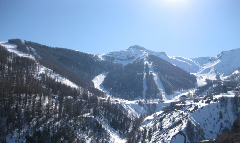
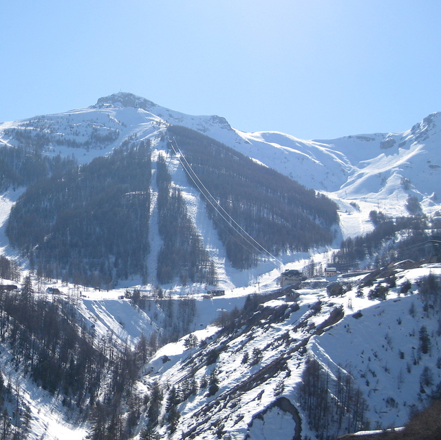
We've been regularly skiing Isola for years & never given Auron much thought as we thought it too low. What a mistake that was!
Firstly, compared to Auron village, Isola 2000 is the absolute pits. The main Auron village square is a pretty alpine affair set around an ice ring that provides fun for children & adults alike. Little chalet stalls like those of Christmas markets are set to one side, while shops flank the other. Plenty of shops, bars, restaurants & hotels to choose from, all with friendly attentive service.
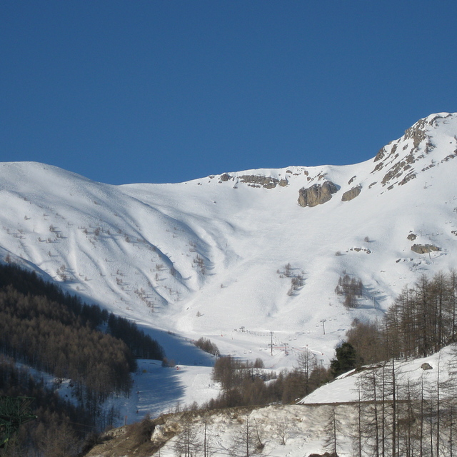
Yes, you can't ski back to the village itself but you can drive or catch the gondola that is just a few minutes up to the main ski area that features an excellent debutant green served by a chair lift perfect for beginners (no hideous drag lifts to put beginners off).
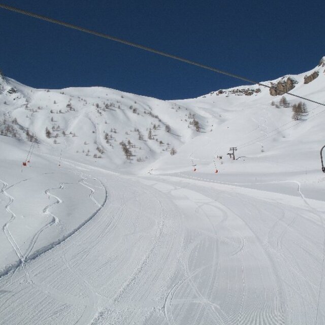
The skiing is perfect for a long weekend with lots of choice in both difficulty & length, plenty of lifts & some good off-piste if the conditions are right. Good snow cannon cover too, ensuring you can make a circuit of the resort runs. Like Isola2000 they have an airbag, but it's FREE & they also do bulk deals on ESF lessons, again unlike Isola2000.
Lots of lovely places to stop for lunch or a drink, from converted stone shepherd huts to large self service affairs & everthing in between. Wish we'd made the effort before, way better than Isola in all but altitude. We've switched our allegiance! Couple of top tips; Le Grizzly on St Etienne side has good food & rooms so you can stay on piste. Blanch on near the debutant runs is great for lunch & the best little hotel we found was Hotel Le Blainon. Faultless in terms of cleanliness, service & location....
We've been regularly skiing Isola for years & never given Auron much thought as we thought it too low. What a mistake that was!
Firstly, compared to Auron village, Isola 2000 is the absolute pits. The main Auron village square is a pretty alpine affair set around an ice ring that provides fun for children & adults alike. Little chalet stalls like those of Christmas markets are set to one side, while shops flank the other. Plenty of shops, bars, restaurants & hotels to choose from, all with friendly attentive service.
Yes, you can't ski back to the village itself but you can drive or catch the gondola that is just a few minutes up to the main ski area that features an excellent debutant green served by a chair lift perfect for beginners (no hideous drag lifts to put beginners off).
The skiing is perfect for a long weekend with lots of choice in both difficulty & length, plenty of lifts & some good off-piste if the conditions are right. Good snow cannon cover too, ensuring you can make a circuit of the resort runs. Like Isola2000 they have an airbag, but it's FREE & they also do bulk deals on ESF lessons, again unlike Isola2000.
Lots of lovely places to stop for lunch or a drink, from converted stone shepherd huts to large self service affairs & everthing in between. Wish we'd made the effort before, way better than Isola in all but altitude. We've switched our allegiance! Couple of top tips; Le Grizzly on St Etienne side has good food & rooms so you can stay on piste. Blanch on near the debutant runs is great for lunch & the best little hotel we found was Hotel Le Blainon. Faultless in terms of cleanliness, service & location....
Free Snow-Forecast.com weather widget for your website
Embed the Auron weather widget on your site for free. It provides a weekly snapshot of snow and rain conditions across all elevations. Follow the two quick steps to grab your custom code and paste it into your site. Choose between metric or imperial units. Click here to get the code.


 Nearest