Could not find map '' in the database
Snow and Weather Maps
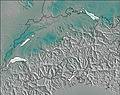
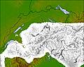
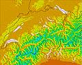
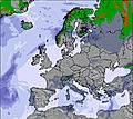
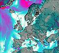
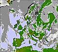
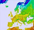
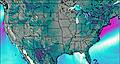
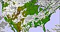
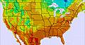
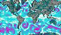
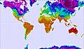
 Choose a snow map from the list of countries and regions below. The snow maps can be animated to show forecasts for snow, freezing level, temperature and wind as well as current weather conditions in ski resorts. You can see the total amount of snow accumulated in the past days or use the animation to see each 6 hour interval separately.
|
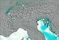
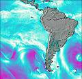
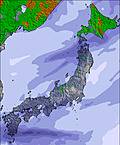
Where is snow forecast in:
|
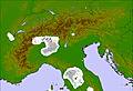
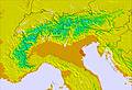
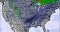
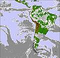
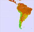
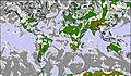
Where the snow has fallen in: |
|
|
|
Europe
|
|
|
|
|
|
|
|
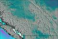
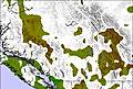
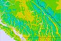
USA / Canada
|
|
|
|
|
|
|
|
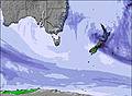
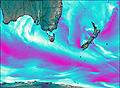
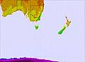
Australasia
|
|
|
|
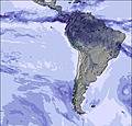
South America
|
|
|
|
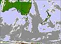
Asia
|
|
|
|
Africa
|
|
|
|
World
|
|
|
|
 Nearest