Already a Member? Log In
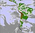
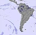
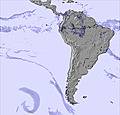
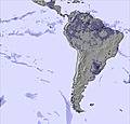
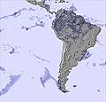
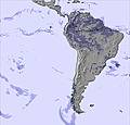
Monday 08 Jun 7pm
Tuesday 09 Jun 1am
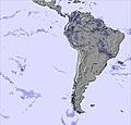
Tuesday 09 Jun 7am
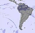
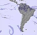
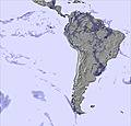
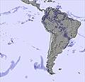
Tuesday 09 Jun 1pm
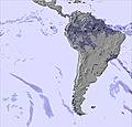
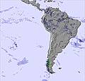
Tuesday 09 Jun 7pm
Wednesday 10 Jun 1am
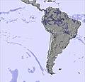
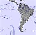
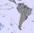
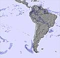
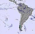
Wednesday 10 Jun 7am
Wednesday 10 Jun 1pm
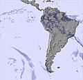
Wednesday 10 Jun 7pm
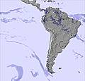
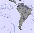
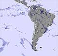
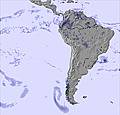
Thursday 11 Jun 1am
Thursday 11 Jun 7am
Thursday 11 Jun 1pm
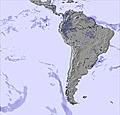
Thursday 11 Jun 7pm
Friday 12 Jun 1am
Friday 12 Jun 7am
Friday 12 Jun 1pm
Friday 12 Jun 7pm
Saturday 13 Jun 1am
Saturday 13 Jun 7am
Saturday 13 Jun 1pm
Saturday 13 Jun 7pm
Sunday 14 Jun 1am
Sunday 14 Jun 7am
Sunday 14 Jun 1pm
Sunday 14 Jun 7pm
Monday 15 Jun 1am
Monday 15 Jun 7am
Monday 15 Jun 1pm

 Nearest