Thursday 25 Apr 2am
Thursday 25 Apr 8am
Thursday 25 Apr 2pm
Thursday 25 Apr 8pm
Friday 26 Apr 2am
Friday 26 Apr 8am
Friday 26 Apr 2pm
Friday 26 Apr 8pm
Saturday 27 Apr 2am
Saturday 27 Apr 8am
Saturday 27 Apr 2pm
Saturday 27 Apr 8pm
Sunday 28 Apr 2am
Sunday 28 Apr 8am
Sunday 28 Apr 2pm
Sunday 28 Apr 8pm
Monday 29 Apr 2am
Monday 29 Apr 8am
Monday 29 Apr 2pm
Monday 29 Apr 8pm
Tuesday 30 Apr 2am
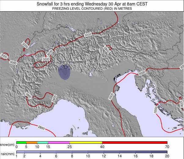
Tuesday 30 Apr 8am
Tuesday 30 Apr 2pm
Tuesday 30 Apr 8pm
Wednesday 01 May 2am
Wednesday 01 May 8am
Wednesday 01 May 2pm
Wednesday 01 May 8pm


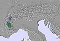
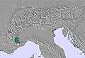


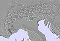


 Nearest
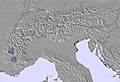
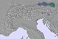
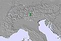